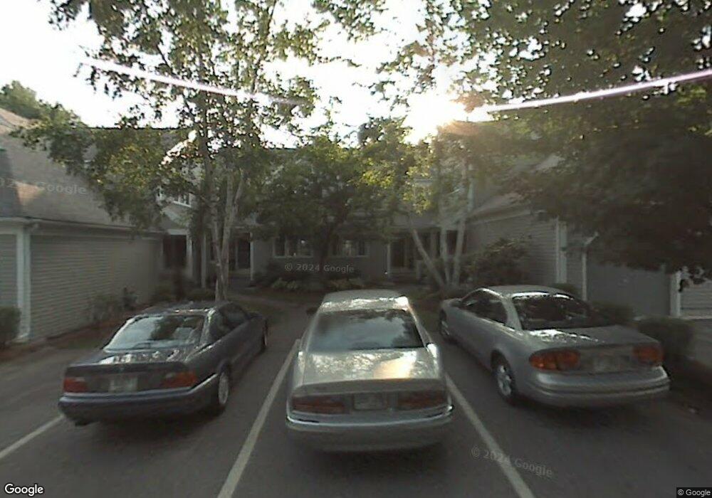
21 Larkspur Ct Unit U30 Nashua, NH 03062
West Hollis NeighborhoodEstimated Value: $378,000 - $443,000
2
Beds
1
Bath
1,300
Sq Ft
$314/Sq Ft
Est. Value
About This Home
This home is located at 21 Larkspur Ct Unit U30, Nashua, NH 03062 and is currently estimated at $408,318, approximately $314 per square foot. 21 Larkspur Ct Unit U30 is a home located in Hillsborough County with nearby schools including Ledge Street Elementary School, Elm Street Middle School, and Nashua High School South.
Ownership History
Date
Name
Owned For
Owner Type
Purchase Details
Closed on
Sep 13, 1999
Sold by
Mccann Carole V
Bought by
Merchant Lynn M
Current Estimated Value
Home Financials for this Owner
Home Financials are based on the most recent Mortgage that was taken out on this home.
Original Mortgage
$105,600
Outstanding Balance
$30,898
Interest Rate
7.65%
Estimated Equity
$377,420
Create a Home Valuation Report for This Property
The Home Valuation Report is an in-depth analysis detailing your home's value as well as a comparison with similar homes in the area
Home Values in the Area
Average Home Value in this Area
Purchase History
| Date | Buyer | Sale Price | Title Company |
|---|---|---|---|
| Merchant Lynn M | $132,000 | -- |
Source: Public Records
Mortgage History
| Date | Status | Borrower | Loan Amount |
|---|---|---|---|
| Open | Merchant Lynn M | $105,600 |
Source: Public Records
Tax History Compared to Growth
Tax History
| Year | Tax Paid | Tax Assessment Tax Assessment Total Assessment is a certain percentage of the fair market value that is determined by local assessors to be the total taxable value of land and additions on the property. | Land | Improvement |
|---|---|---|---|---|
| 2024 | $6,139 | $386,100 | $0 | $386,100 |
| 2023 | $6,244 | $342,500 | $0 | $342,500 |
| 2022 | $6,189 | $342,500 | $0 | $342,500 |
| 2021 | $5,896 | $253,900 | $0 | $253,900 |
| 2020 | $5,741 | $253,900 | $0 | $253,900 |
| 2019 | $5,525 | $253,900 | $0 | $253,900 |
| 2018 | $5,385 | $253,900 | $0 | $253,900 |
| 2017 | $4,928 | $191,100 | $0 | $191,100 |
| 2016 | $4,791 | $191,100 | $0 | $191,100 |
| 2015 | $4,688 | $191,100 | $0 | $191,100 |
| 2014 | $4,596 | $191,100 | $0 | $191,100 |
Source: Public Records
Map
Nearby Homes
- 47 Dogwood Dr Unit U202
- 599 W Hollis St
- 5 Iris Ct Unit U147
- 31 Spring Cove Rd Unit U148
- 40 Spring Cove Rd Unit U117
- 8 Althea Ln Unit U26
- 12 Spring Cove Rd Unit U103
- 37 White Plains Dr
- 500 Candlewood Park Unit 21
- 46 Scenic Dr
- 247 Main Dunstable Rd
- 25 Cortez Dr Unit U57
- 27 Country Hill Rd Unit U90
- 20 Martha St
- 4 Nelson St
- 11 Inca Dr
- 4 Chesapeake Rd
- 24 Yarmouth Dr
- 3 Richmond St
- 11 Bartemus Trail Unit 204
- 23 Larkspur Ct Unit U31
- 19 Larkspur Ct Unit U29
- 25 Larkspur Ct Unit U32
- 27 Larkspur Ct Unit U33
- 27 Larkspur Ct
- 17 Larkspur Ct Unit U27
- 15 Larkspur Ct Unit U28
- 29 Larkspur Ct Unit U121
- 11 Larkspur Ct Unit U26
- 9 Larkspur Ct Unit U25
- 16 Cobble Hill Rd
- 7 Larkspur Ct Unit U24
- 31 Larkspur Ct Unit U122
- 5 Larkspur Ct Unit U22
- 3 Larkspur Ct Unit U23
- 33 Larkspur Ct Unit U123
- 18 Cobble Hill Rd
- 35 Larkspur Ct Unit U124
- 12 Cobble Hill Rd
- 5 Ledgewood Hills Dr Unit U126