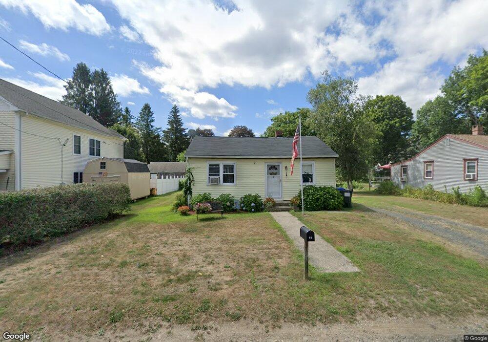
21 Laurel St Winsted, CT 06098
Estimated Value: $174,000
3
Beds
1
Bath
986
Sq Ft
$176/Sq Ft
Est. Value
About This Home
This home is located at 21 Laurel St, Winsted, CT 06098 and is currently priced at $174,000, approximately $176 per square foot. 21 Laurel St is a home located in Litchfield County with nearby schools including Pearson School, Explorations Charter School, and St Anthony School.
Create a Home Valuation Report for This Property
The Home Valuation Report is an in-depth analysis detailing your home's value as well as a comparison with similar homes in the area
Home Values in the Area
Average Home Value in this Area
Tax History
| Year | Tax Paid | Tax Assessment Tax Assessment Total Assessment is a certain percentage of the fair market value that is determined by local assessors to be the total taxable value of land and additions on the property. | Land | Improvement |
|---|---|---|---|---|
| 2025 | $2,906 | $99,610 | $30,940 | $68,670 |
| 2024 | $2,713 | $99,610 | $30,940 | $68,670 |
| 2023 | $2,629 | $99,610 | $30,940 | $68,670 |
| 2022 | $2,646 | $78,890 | $22,400 | $56,490 |
| 2021 | $2,646 | $78,890 | $22,400 | $56,490 |
| 2020 | $2,646 | $78,890 | $22,400 | $56,490 |
| 2019 | $2,646 | $78,890 | $22,400 | $56,490 |
| 2018 | $2,646 | $78,890 | $22,400 | $56,490 |
| 2017 | $2,571 | $76,650 | $22,400 | $54,250 |
| 2016 | $2,571 | $76,650 | $22,400 | $54,250 |
| 2015 | $2,506 | $76,650 | $22,400 | $54,250 |
| 2014 | $2,446 | $76,650 | $22,400 | $54,250 |
Source: Public Records
Map
Nearby Homes
Your Personal Tour Guide
Ask me questions while you tour the home.