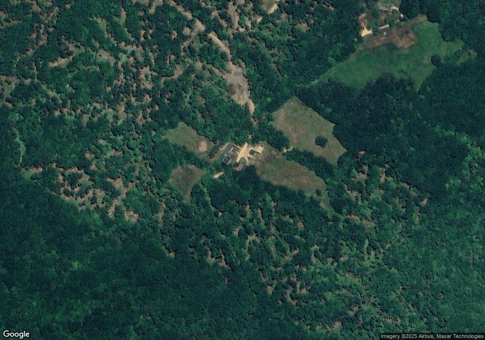
21 Leavitt Rd Gilmanton, NH 03237
Estimated Value: $693,000 - $933,000
4
Beds
4
Baths
3,512
Sq Ft
$242/Sq Ft
Est. Value
About This Home
This home is located at 21 Leavitt Rd, Gilmanton, NH 03237 and is currently estimated at $850,230, approximately $242 per square foot. 21 Leavitt Rd is a home with nearby schools including Gilmanton Elementary School and Gilford High School.
Ownership History
Date
Name
Owned For
Owner Type
Purchase Details
Closed on
Aug 26, 2016
Sold by
Labrecque-Montgomery K
Bought by
Brnger Tyler F
Current Estimated Value
Home Financials for this Owner
Home Financials are based on the most recent Mortgage that was taken out on this home.
Original Mortgage
$35,000
Outstanding Balance
$27,948
Interest Rate
3.42%
Mortgage Type
New Conventional
Estimated Equity
$822,282
Create a Home Valuation Report for This Property
The Home Valuation Report is an in-depth analysis detailing your home's value as well as a comparison with similar homes in the area
Home Values in the Area
Average Home Value in this Area
Purchase History
| Date | Buyer | Sale Price | Title Company |
|---|---|---|---|
| Brnger Tyler F | $50,000 | -- |
Source: Public Records
Mortgage History
| Date | Status | Borrower | Loan Amount |
|---|---|---|---|
| Open | Brnger Tyler F | $35,000 |
Source: Public Records
Tax History
| Year | Tax Paid | Tax Assessment Tax Assessment Total Assessment is a certain percentage of the fair market value that is determined by local assessors to be the total taxable value of land and additions on the property. | Land | Improvement |
|---|---|---|---|---|
| 2024 | $11,707 | $794,200 | $135,200 | $659,000 |
| 2023 | $10,399 | $444,600 | $75,500 | $369,100 |
| 2022 | $10,631 | $443,500 | $75,500 | $368,000 |
| 2021 | $10,422 | $443,500 | $75,500 | $368,000 |
| 2020 | $8,085 | $348,500 | $75,500 | $273,000 |
| 2019 | $1,051 | $46,100 | $46,100 | $0 |
| 2018 | $1,140 | $45,000 | $45,000 | $0 |
| 2017 | $1,116 | $45,000 | $45,000 | $0 |
| 2016 | $1,076 | $45,000 | $45,000 | $0 |
| 2015 | $1,167 | $45,000 | $45,000 | $0 |
| 2014 | $1,032 | $45,000 | $45,000 | $0 |
| 2013 | $1,206 | $57,000 | $57,000 | $0 |
Source: Public Records
Map
Nearby Homes
- 200 Hemlock Dr
- 348 Hemlock Dr
- 82 Sawyer Lake Rd
- 68 Sawyer Lake Rd
- 0 Munsey Hill Rd Unit 6
- 1 Munsey Hill Rd
- 8 Jodi Dr
- 36 Country Side Cir
- 218 Wild Acres Rd
- 0 Province Rd Unit 5068495
- 585 Province Rd
- 126 Aiden Cir
- 202 Wild Acres Rd
- 26 Turkey Dr
- 51 Allens Mill Rd
- 55 High View Cir
- 00 Intervale Dr Unit 51
- 15 Swain Rd
- 00 Winter St Unit 42
- 1520 Province Rd
- 39 Leavitt Rd
- 764 Middle Route
- 750 Middle Route
- 790 Middle Route
- 766 Middle Route
- 736 Middle Route
- L41 Leavitt Rd
- 798 Middle Route
- 99 Leavitt Rd
- 765 Middle Route
- 787 Middle Route
- 812 Middle Route
- 795 Middle Route
- 712 Middle Route
- 822 Middle Route
- 00(405-20) Middle Route
- 805 Middle Route
- 809 Middle Route
- 696 Middle Route
- 944 Middle Route
Your Personal Tour Guide
Ask me questions while you tour the home.
