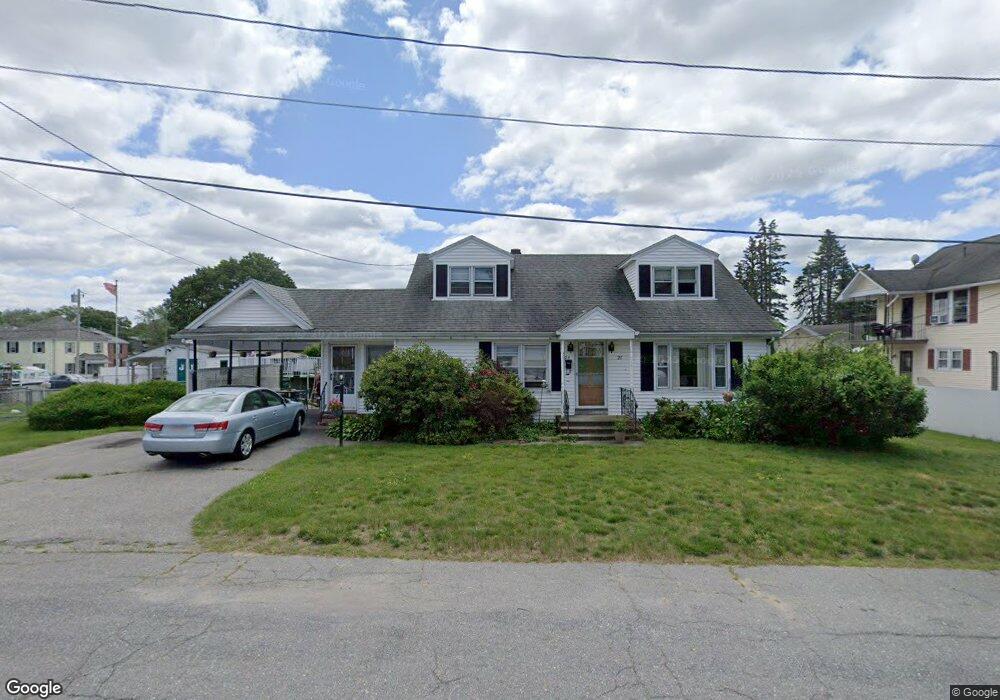
21 Leeds St Lowell, MA 01850
Centralville NeighborhoodEstimated Value: $498,000 - $704,000
5
Beds
3
Baths
2,207
Sq Ft
$279/Sq Ft
Est. Value
About This Home
This home is located at 21 Leeds St, Lowell, MA 01850 and is currently estimated at $614,694, approximately $278 per square foot. 21 Leeds St is a home located in Middlesex County with nearby schools including Greenhalge Elementary School, S. Christa McAuliffe Elementary School, and Moody Elementary School.
Ownership History
Date
Name
Owned For
Owner Type
Purchase Details
Closed on
Oct 29, 2012
Sold by
Johnson Muareen A
Bought by
M Michael Johnson Ret and Johnson
Current Estimated Value
Purchase Details
Closed on
Feb 15, 1997
Sold by
Breault Robert L and Breault Inga K
Bought by
Keefe Maureen A
Home Financials for this Owner
Home Financials are based on the most recent Mortgage that was taken out on this home.
Original Mortgage
$125,000
Interest Rate
7.6%
Mortgage Type
Purchase Money Mortgage
Purchase Details
Closed on
Dec 6, 1993
Sold by
Breault Est Rose and Breault Roger
Bought by
Breault Robert and Breault Inga K
Create a Home Valuation Report for This Property
The Home Valuation Report is an in-depth analysis detailing your home's value as well as a comparison with similar homes in the area
Home Values in the Area
Average Home Value in this Area
Purchase History
| Date | Buyer | Sale Price | Title Company |
|---|---|---|---|
| M Michael Johnson Ret | -- | -- | |
| M Michael Johnson Ret | -- | -- | |
| Keefe Maureen A | $145,500 | -- | |
| Keefe Maureen A | $145,500 | -- | |
| Breault Robert | $85,000 | -- | |
| Breault Robert | $85,000 | -- |
Source: Public Records
Mortgage History
| Date | Status | Borrower | Loan Amount |
|---|---|---|---|
| Previous Owner | Breault Robert | $40,000 | |
| Previous Owner | Breault Robert | $8,100 | |
| Previous Owner | Breault Robert | $125,000 |
Source: Public Records
Tax History Compared to Growth
Tax History
| Year | Tax Paid | Tax Assessment Tax Assessment Total Assessment is a certain percentage of the fair market value that is determined by local assessors to be the total taxable value of land and additions on the property. | Land | Improvement |
|---|---|---|---|---|
| 2025 | $6,083 | $529,900 | $162,300 | $367,600 |
| 2024 | $5,601 | $470,300 | $145,000 | $325,300 |
| 2023 | $5,093 | $410,100 | $117,300 | $292,800 |
| 2022 | $4,650 | $366,400 | $101,300 | $265,100 |
| 2021 | $4,317 | $320,700 | $88,100 | $232,600 |
| 2020 | $4,246 | $317,800 | $103,100 | $214,700 |
| 2019 | $3,924 | $279,500 | $85,900 | $193,600 |
| 2018 | $3,678 | $255,600 | $81,800 | $173,800 |
| 2017 | $3,384 | $226,800 | $67,800 | $159,000 |
| 2016 | $3,475 | $229,200 | $62,800 | $166,400 |
| 2015 | $3,228 | $208,500 | $62,800 | $145,700 |
| 2013 | $2,948 | $196,400 | $72,400 | $124,000 |
Source: Public Records
Map
Nearby Homes
- 284 Cumberland Rd
- 84 Farmland Rd
- 78 Farmland Rd
- 15 Leeds St
- 270 Cumberland Rd
- 20 Leeds St
- 147 Dalton St
- 74 Farmland Rd
- 167 Dalton St
- 294 Cumberland Rd
- 64 Farmland Rd Unit 2
- 62 Farmland Rd
- 62 Farmland Rd Unit 1
- 15 Gaston Terrace
- 271 Cumberland Rd
- 9 Gaston Terrace
- 175 Dalton St
- 258 Cumberland Rd
- 277 Cumberland Rd
- 308 Cumberland Rd