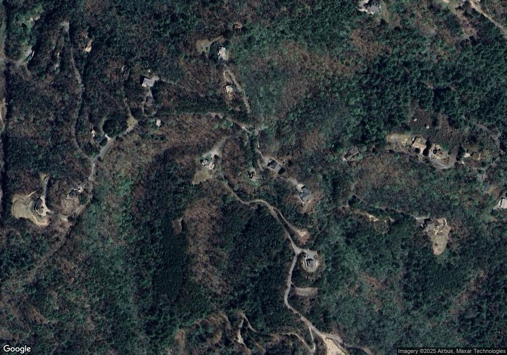
21 Locust Loop Ln Murphy, NC 28906
Estimated Value: $566,000 - $683,000
2
Beds
3
Baths
2,700
Sq Ft
$228/Sq Ft
Est. Value
About This Home
This home is located at 21 Locust Loop Ln, Murphy, NC 28906 and is currently estimated at $616,063, approximately $228 per square foot. 21 Locust Loop Ln is a home located in Cherokee County with nearby schools including Murphy Elementary School, Murphy Middle School, and Murphy High School.
Ownership History
Date
Name
Owned For
Owner Type
Purchase Details
Closed on
Sep 30, 2025
Sold by
Velas Martin and Velas Ronnie
Bought by
Velas Yellowstone Trust and Velas
Current Estimated Value
Purchase Details
Closed on
Sep 28, 2023
Sold by
Hitchcock Allen R and Hitchcock Davalee E
Bought by
Velas Martin and Velas Ronnie
Purchase Details
Closed on
Jan 1, 2001
Bought by
Hitchcock Allen R and Hitchcock W
Create a Home Valuation Report for This Property
The Home Valuation Report is an in-depth analysis detailing your home's value as well as a comparison with similar homes in the area
Home Values in the Area
Average Home Value in this Area
Purchase History
| Date | Buyer | Sale Price | Title Company |
|---|---|---|---|
| Velas Yellowstone Trust | -- | None Listed On Document | |
| Velas Martin | $600,000 | None Listed On Document | |
| Hitchcock Allen R | $22,500 | -- |
Source: Public Records
Tax History Compared to Growth
Tax History
| Year | Tax Paid | Tax Assessment Tax Assessment Total Assessment is a certain percentage of the fair market value that is determined by local assessors to be the total taxable value of land and additions on the property. | Land | Improvement |
|---|---|---|---|---|
| 2025 | $1,543 | $205,680 | $0 | $0 |
| 2024 | $1,651 | $205,680 | $0 | $0 |
| 2023 | $1,654 | $222,750 | $0 | $0 |
| 2022 | $1,654 | $222,750 | $0 | $0 |
| 2021 | $1,394 | $222,750 | $30,000 | $192,750 |
| 2020 | $1,305 | $222,750 | $0 | $0 |
| 2019 | $1,189 | $179,950 | $0 | $0 |
| 2018 | $1,189 | $179,950 | $0 | $0 |
| 2017 | $1,270 | $193,120 | $0 | $0 |
| 2016 | $1,270 | $193,120 | $0 | $0 |
| 2015 | $1,270 | $193,120 | $31,950 | $161,170 |
| 2012 | -- | $193,120 | $31,950 | $161,170 |
Source: Public Records
Map
Nearby Homes
- 29 Beckwith Rd
- 380 Sterling Point
- 211 Harshaw Rd
- 99 Noelles Pass
- 2545 Martins Creek Rd
- 241 Boulevard St
- Lot 89 River Mountain Rd
- 173 Mooreland Heights St
- 35 Van Horn St
- L102 River Mountain Rd
- TBD Cherry St
- 2.57 Scottie Mountain Cir
- 1.01 Will Scott Church Rd
- LOT 144 River Farm Dr
- 64 Cloe Moore Dr
- 46 Dillard St
- 77 East Ave
- 138 Morgan Hill Rd
- 805 Hiwassee St
- 727 Hiwassee St
- 21 Locust Loop
- 21 Locust Loop
- 0 Locust Loop Ln
- Lot 30 Locust Loop Ln
- 000 Locust Loop Ln
- 11 Beckwith Rd
- 54 Locust Loop Ln
- 54 Locust Loop Ln Unit 34
- 106 Beckwith Rd
- 54 Locust Loop
- 528 Sterling Point
- 719 Willscott Mountain Dr
- 790 Sunrise Ridge Dr
- 524 Willscott Mountain Dr
- 00 Wilscott Mountain
- 718 Willscott Mountain Dr
- 718 Willscott Mountain Dr
- 871 Willscott Mountain Dr
- 549 Willscott Mountain Dr
- 842 Willscott Mountain Dr
