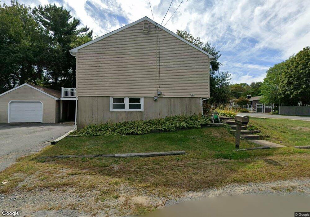
21 Macomber Rd Gloucester, MA 01930
Estimated Value: $667,000 - $884,000
3
Beds
3
Baths
1,396
Sq Ft
$562/Sq Ft
Est. Value
About This Home
This home is located at 21 Macomber Rd, Gloucester, MA 01930 and is currently estimated at $784,627, approximately $562 per square foot. 21 Macomber Rd is a home located in Essex County with nearby schools including Beeman Memorial, Ralph B O'maley Middle School, and Gloucester High School.
Ownership History
Date
Name
Owned For
Owner Type
Purchase Details
Closed on
Dec 3, 2013
Sold by
Valaskatgis Emanuel N
Bought by
Valaskatgis Lurye E
Current Estimated Value
Purchase Details
Closed on
Nov 1, 1988
Sold by
Novello Jeanine
Bought by
Valaskatgis Emanuel N
Home Financials for this Owner
Home Financials are based on the most recent Mortgage that was taken out on this home.
Original Mortgage
$60,000
Interest Rate
10.32%
Mortgage Type
Purchase Money Mortgage
Create a Home Valuation Report for This Property
The Home Valuation Report is an in-depth analysis detailing your home's value as well as a comparison with similar homes in the area
Purchase History
| Date | Buyer | Sale Price | Title Company |
|---|---|---|---|
| Valaskatgis Lurye E | -- | -- | |
| Valaskatgis Emanuel N | $225,000 | -- |
Source: Public Records
Mortgage History
| Date | Status | Borrower | Loan Amount |
|---|---|---|---|
| Previous Owner | Valaskatgis Emanuel N | $57,000 | |
| Previous Owner | Valaskatgis Emanuel N | $60,000 |
Source: Public Records
Tax History
| Year | Tax Paid | Tax Assessment Tax Assessment Total Assessment is a certain percentage of the fair market value that is determined by local assessors to be the total taxable value of land and additions on the property. | Land | Improvement |
|---|---|---|---|---|
| 2025 | $6,297 | $647,800 | $189,300 | $458,500 |
| 2024 | $6,485 | $666,500 | $180,300 | $486,200 |
| 2023 | $6,129 | $578,800 | $161,000 | $417,800 |
| 2022 | $5,742 | $489,500 | $140,000 | $349,500 |
| 2021 | $5,643 | $453,600 | $127,300 | $326,300 |
| 2020 | $5,391 | $437,200 | $127,300 | $309,900 |
| 2019 | $5,539 | $436,500 | $127,300 | $309,200 |
| 2018 | $5,253 | $406,300 | $127,300 | $279,000 |
| 2017 | $4,921 | $373,100 | $121,200 | $251,900 |
| 2016 | $4,893 | $359,500 | $126,500 | $233,000 |
| 2015 | $4,671 | $342,200 | $126,500 | $215,700 |
Source: Public Records
Map
Nearby Homes
- 3 Deacon Farm Ln
- 31 Echo Ave
- 2 Breezy Point Rd
- 13 Honeysuckle Rd
- 672 Washington St
- 13 Mystic Ave
- 8 Mystic Ave
- 98 Maplewood Ave
- 6 Monroe Ct
- 12 Arthur St
- 9 Cleveland Place
- 40 Sargent St
- 19 Trask St Unit 2
- 50 Warner St
- 167 Atlantic St
- 178 Atlantic St
- 113 Pleasant St
- 33 Maplewood Ave Unit 310
- 226 Atlantic St
- 15 Mount Vernon St
Your Personal Tour Guide
Ask me questions while you tour the home.