21 Maple Rd Spofford, NH 03462
Estimated Value: $302,306 - $358,000
2
Beds
2
Baths
1,509
Sq Ft
$218/Sq Ft
Est. Value
About This Home
This home is located at 21 Maple Rd, Spofford, NH 03462 and is currently estimated at $329,327, approximately $218 per square foot. 21 Maple Rd is a home with nearby schools including Chesterfield Central School and Keene High School.
Create a Home Valuation Report for This Property
The Home Valuation Report is an in-depth analysis detailing your home's value as well as a comparison with similar homes in the area
Home Values in the Area
Average Home Value in this Area
Tax History Compared to Growth
Tax History
| Year | Tax Paid | Tax Assessment Tax Assessment Total Assessment is a certain percentage of the fair market value that is determined by local assessors to be the total taxable value of land and additions on the property. | Land | Improvement |
|---|---|---|---|---|
| 2024 | $3,101 | $153,200 | $62,400 | $90,800 |
| 2023 | $3,036 | $153,200 | $62,400 | $90,800 |
| 2022 | $2,975 | $153,200 | $62,400 | $90,800 |
| 2021 | $2,912 | $153,200 | $62,400 | $90,800 |
| 2020 | $2,772 | $122,600 | $47,100 | $75,500 |
| 2019 | $2,654 | $118,900 | $47,100 | $71,800 |
| 2018 | $2,397 | $118,900 | $47,100 | $71,800 |
| 2016 | $2,526 | $118,800 | $47,100 | $71,700 |
| 2014 | $2,639 | $118,800 | $47,100 | $71,700 |
Source: Public Records
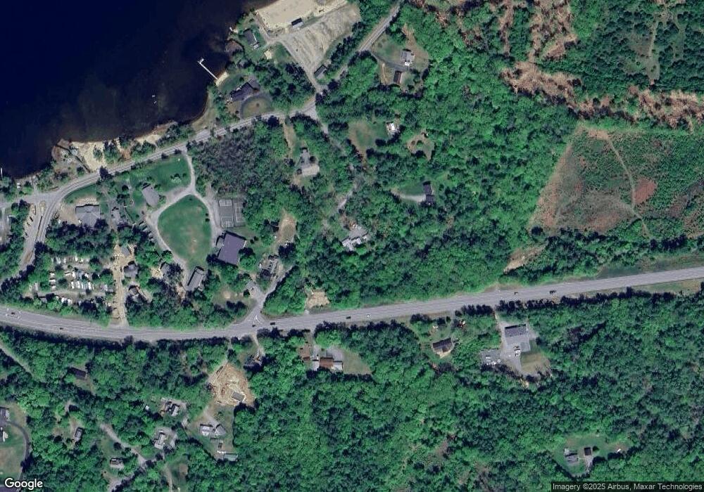
Map
Nearby Homes
- 349 Old Chesterfield Rd
- 36 Canal St
- 85 Foley Rd
- 563 N Shore Rd
- 43 Westmoreland Rd
- 123 Poocham Rd
- 0 Stow Dr Unit 4929741
- 00 Orchard Rd Unit 1
- 462 Spofford Rd
- 61 Orchard Rd
- 180 Valley Park Dr
- 21 Valley Park Dr
- 136 Cross Rd
- 30 Farr Rd
- 2 Glebe Rd
- 1123 River Rd
- 28 Owens Dr Unit 92
- 28 Owens Dr Unit 94
- 121 Pondview Rd
- 0 Route 63 Unit 15