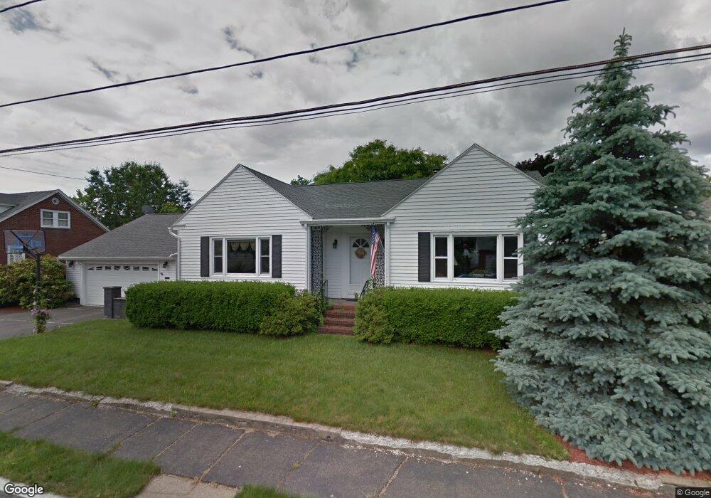
21 Meadowbrook Rd Methuen, MA 01844
The East End NeighborhoodEstimated Value: $539,000 - $604,000
3
Beds
1
Bath
1,975
Sq Ft
$285/Sq Ft
Est. Value
About This Home
This home is located at 21 Meadowbrook Rd, Methuen, MA 01844 and is currently estimated at $563,393, approximately $285 per square foot. 21 Meadowbrook Rd is a home located in Essex County with nearby schools including Timony Grammar School, Methuen High School, and Community Day Charter Public School - Gateway.
Ownership History
Date
Name
Owned For
Owner Type
Purchase Details
Closed on
May 13, 2021
Sold by
Schnell Mark A and Schnell Lisa S
Bought by
Schnell Ft and Schnell
Current Estimated Value
Purchase Details
Closed on
Mar 31, 1993
Sold by
Denaro Mary A
Bought by
Schnell Mark A
Home Financials for this Owner
Home Financials are based on the most recent Mortgage that was taken out on this home.
Original Mortgage
$121,849
Interest Rate
7.6%
Mortgage Type
Purchase Money Mortgage
Create a Home Valuation Report for This Property
The Home Valuation Report is an in-depth analysis detailing your home's value as well as a comparison with similar homes in the area
Home Values in the Area
Average Home Value in this Area
Purchase History
| Date | Buyer | Sale Price | Title Company |
|---|---|---|---|
| Schnell Ft | -- | None Available | |
| Schnell Ft | -- | None Available | |
| Schnell Ft | -- | None Available | |
| Schnell Mark A | $124,000 | -- | |
| Schnell Mark A | $124,000 | -- |
Source: Public Records
Mortgage History
| Date | Status | Borrower | Loan Amount |
|---|---|---|---|
| Previous Owner | Schnell Mark A | $39,500 | |
| Previous Owner | Schnell Mark A | $121,849 |
Source: Public Records
Tax History
| Year | Tax Paid | Tax Assessment Tax Assessment Total Assessment is a certain percentage of the fair market value that is determined by local assessors to be the total taxable value of land and additions on the property. | Land | Improvement |
|---|---|---|---|---|
| 2025 | $4,856 | $459,000 | $201,300 | $257,700 |
| 2024 | $4,793 | $441,300 | $183,600 | $257,700 |
| 2023 | $4,554 | $389,200 | $163,200 | $226,000 |
| 2022 | $4,378 | $335,500 | $136,000 | $199,500 |
| 2021 | $4,107 | $311,400 | $129,200 | $182,200 |
| 2020 | $4,097 | $304,800 | $129,200 | $175,600 |
| 2019 | $3,834 | $270,200 | $115,600 | $154,600 |
| 2018 | $3,752 | $262,900 | $115,600 | $147,300 |
| 2017 | $3,638 | $248,300 | $115,600 | $132,700 |
| 2016 | $3,477 | $234,800 | $108,800 | $126,000 |
| 2015 | $3,371 | $230,900 | $108,800 | $122,100 |
Source: Public Records
Map
Nearby Homes
- 18 Erhardt Terrace
- 7 Erhardt Terrace
- 32 Josephine Ave
- 106 Leroy Ave
- 12 Annette St
- 264 E Haverhill St Unit 2
- 39 Swan Ave
- 68 Ashford St
- 14 Court St
- 1 Riverview Blvd Unit 8-203
- 1 Riverview Blvd Unit 1:209
- 1 Riverview Blvd Unit 4-203
- 109 Ferry St
- 65 Arthur St
- 162 E Haverhill St
- 201 Aberdeen Rd
- 25-27 Bicknell Ave
- 37 Albion St
- 2 Cherry St
- 5 Kendrick St
- 17 Meadowbrook Rd
- 22 Ridge Rd
- 18 Ridge Rd
- 26 Ridge Rd
- 14 Ridge Rd
- 24 Meadowbrook Rd
- 13 Meadowbrook Rd
- 20 Meadowbrook Rd
- 30 Ridge Rd
- 10 Ridge Rd
- 28 Meadowbrook Rd
- 37 Meadowbrook Rd
- 14 Meadowbrook Rd
- 16 Linwood Ave
- 27 Ridge Rd
- 17 Ridge Rd
- 20 Linwood Ave
- 30 Meadowbrook Rd
- 43 Meadowbrook Rd
- 12 Linwood Ave
Your Personal Tour Guide
Ask me questions while you tour the home.