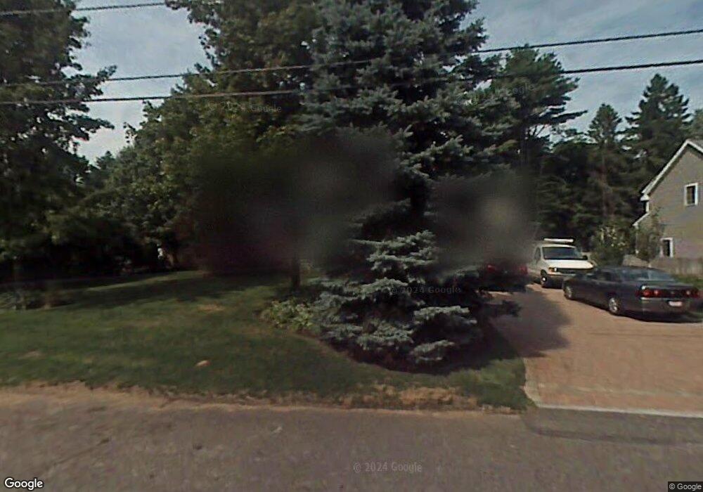
21 Merrow Rd Lynnfield, MA 01940
Estimated Value: $1,085,111 - $1,181,000
3
Beds
2
Baths
2,737
Sq Ft
$411/Sq Ft
Est. Value
About This Home
This home is located at 21 Merrow Rd, Lynnfield, MA 01940 and is currently estimated at $1,124,278, approximately $410 per square foot. 21 Merrow Rd is a home located in Essex County with nearby schools including Lynnfield Middle School, Pickering Middle School, and Lynnfield High School.
Create a Home Valuation Report for This Property
The Home Valuation Report is an in-depth analysis detailing your home's value as well as a comparison with similar homes in the area
Home Values in the Area
Average Home Value in this Area
Tax History Compared to Growth
Tax History
| Year | Tax Paid | Tax Assessment Tax Assessment Total Assessment is a certain percentage of the fair market value that is determined by local assessors to be the total taxable value of land and additions on the property. | Land | Improvement |
|---|---|---|---|---|
| 2025 | $9,586 | $907,800 | $504,800 | $403,000 |
| 2024 | $8,462 | $805,100 | $446,600 | $358,500 |
| 2023 | $8,474 | $749,900 | $423,900 | $326,000 |
| 2022 | $8,491 | $708,200 | $423,900 | $284,300 |
| 2021 | $8,393 | $632,500 | $364,400 | $268,100 |
| 2020 | $8,126 | $583,800 | $315,400 | $268,400 |
| 2019 | $7,926 | $569,800 | $301,400 | $268,400 |
| 2018 | $7,840 | $569,800 | $301,400 | $268,400 |
| 2017 | $7,852 | $569,800 | $301,400 | $268,400 |
| 2016 | $7,810 | $538,600 | $269,900 | $268,700 |
| 2015 | $7,804 | $538,600 | $269,900 | $268,700 |
Source: Public Records
Map
Nearby Homes
- 33 Wing Rd
- 20 Pine Hill Rd
- 928 Main St
- 6 Ashley Ct
- 4 Lowell St
- 16 W Tapley Rd
- 1 Stableford Ct Unit 13
- 19 Fairway Ln
- 19 Fairway Ln Unit 53
- Beverly Plan at Willis Brook at Lynnfield
- Sutton Plan at Willis Brook at Lynnfield
- Topsfield Plan at Willis Brook at Lynnfield
- Westford Plan at Willis Brook at Lynnfield
- 25 Chatham Way
- 35 Catherine Dr
- 6 Needham Rd
- 62 Catherine Dr
- 11 Hutchins Cir
- 1466 Main St
- 24 Perley Ave