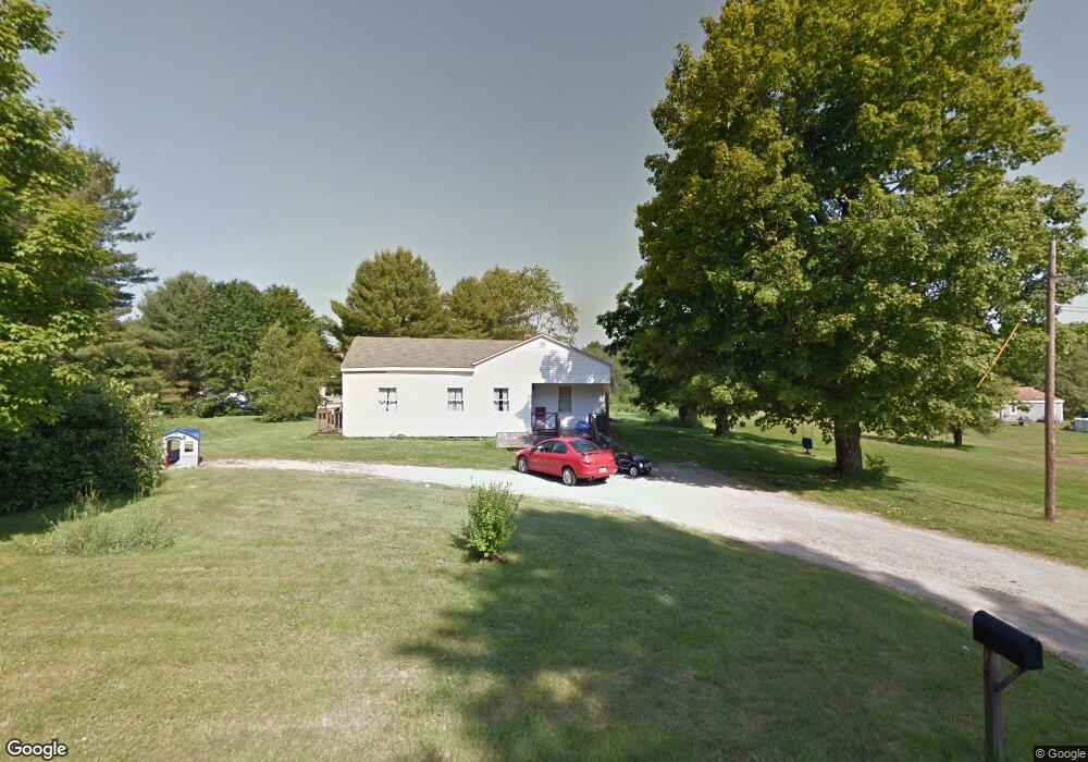
21 Murch Rd Freeport, ME 04032
Estimated Value: $329,000 - $663,000
2
Beds
1
Bath
1,043
Sq Ft
$419/Sq Ft
Est. Value
About This Home
This home is located at 21 Murch Rd, Freeport, ME 04032 and is currently estimated at $436,939, approximately $418 per square foot. 21 Murch Rd is a home with nearby schools including Morse Street School, Mast Landing School, and Freeport Middle School.
Create a Home Valuation Report for This Property
The Home Valuation Report is an in-depth analysis detailing your home's value as well as a comparison with similar homes in the area
Home Values in the Area
Average Home Value in this Area
Tax History
| Year | Tax Paid | Tax Assessment Tax Assessment Total Assessment is a certain percentage of the fair market value that is determined by local assessors to be the total taxable value of land and additions on the property. | Land | Improvement |
|---|---|---|---|---|
| 2025 | $3,555 | $256,700 | $169,000 | $87,700 |
| 2024 | $3,320 | $248,700 | $161,000 | $87,700 |
| 2023 | $3,058 | $222,400 | $146,300 | $76,100 |
| 2022 | $2,836 | $207,800 | $131,700 | $76,100 |
| 2021 | $2,774 | $207,800 | $131,700 | $76,100 |
| 2020 | $2,650 | $189,300 | $122,000 | $67,300 |
| 2019 | $2,541 | $177,700 | $115,100 | $62,600 |
| 2018 | $2,581 | $171,500 | $108,300 | $63,200 |
| 2017 | $2,485 | $166,200 | $105,900 | $60,300 |
| 2016 | $2,428 | $153,700 | $97,800 | $55,900 |
| 2015 | $2,389 | $142,200 | $89,200 | $53,000 |
| 2014 | $2,312 | $146,300 | $89,200 | $57,100 |
| 2013 | $2,306 | $145,500 | $87,400 | $58,100 |
Source: Public Records
Map
Nearby Homes
- 4 Harper's Trail
- 10 Durham Rd
- 39 Hunter Rd
- 42 Durham Rd
- 8 Statler Ln
- 67 Farmview Ln
- 5 Holbrook St
- 62 Webster Rd
- 15 Linwood Rd Unit 15
- 212 Main St
- 143 Bragdon Rd
- 20 Harvest Ridge Rd Unit 23
- 26 Harvest Ridge Rd Unit 24
- 1 Wardtown Rd
- 27 Youngs Ln Unit 27
- 11 Orchard Hill Rd
- 1260 Us Route 1
- 21 Renee Rd
- 238 Hallowell Rd
- 2 Tidal Brook Rd
Your Personal Tour Guide
Ask me questions while you tour the home.