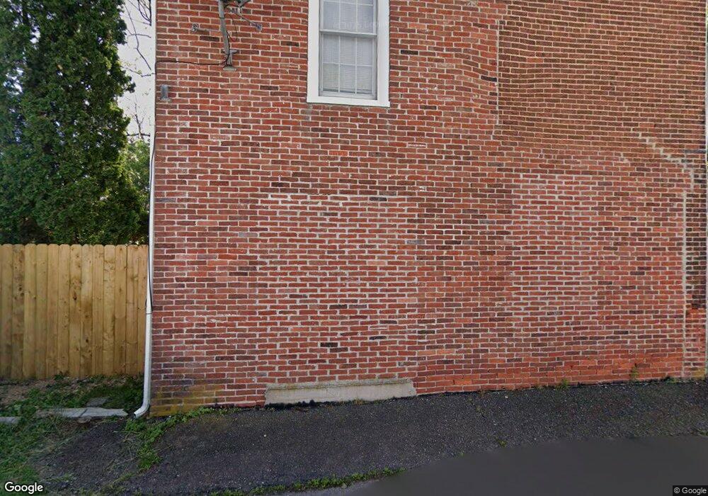
21 Myrtle St Oxford, PA 19363
Estimated Value: $300,000 - $354,000
4
Beds
2
Baths
1,848
Sq Ft
$173/Sq Ft
Est. Value
About This Home
This home is located at 21 Myrtle St, Oxford, PA 19363 and is currently estimated at $318,818, approximately $172 per square foot. 21 Myrtle St is a home located in Chester County with nearby schools including Jordan Bank Elementary School, Nottingham School, and Elk Ridge School.
Ownership History
Date
Name
Owned For
Owner Type
Purchase Details
Closed on
Feb 11, 2002
Sold by
Monthei Corey
Bought by
Bowles John F and Bowles Susan
Current Estimated Value
Home Financials for this Owner
Home Financials are based on the most recent Mortgage that was taken out on this home.
Original Mortgage
$133,900
Outstanding Balance
$54,661
Interest Rate
6.88%
Estimated Equity
$264,157
Purchase Details
Closed on
Jan 7, 1994
Sold by
England Charles and England Judith Ann
Bought by
England Judith Ann
Create a Home Valuation Report for This Property
The Home Valuation Report is an in-depth analysis detailing your home's value as well as a comparison with similar homes in the area
Home Values in the Area
Average Home Value in this Area
Purchase History
| Date | Buyer | Sale Price | Title Company |
|---|---|---|---|
| Bowles John F | $130,000 | -- | |
| England Judith Ann | -- | Minnesota Title |
Source: Public Records
Mortgage History
| Date | Status | Borrower | Loan Amount |
|---|---|---|---|
| Open | Bowles John F | $133,900 |
Source: Public Records
Tax History Compared to Growth
Tax History
| Year | Tax Paid | Tax Assessment Tax Assessment Total Assessment is a certain percentage of the fair market value that is determined by local assessors to be the total taxable value of land and additions on the property. | Land | Improvement |
|---|---|---|---|---|
| 2025 | $5,079 | $93,820 | $20,340 | $73,480 |
| 2024 | $5,079 | $93,820 | $20,340 | $73,480 |
| 2023 | $4,803 | $93,820 | $20,340 | $73,480 |
| 2022 | $4,682 | $93,820 | $20,340 | $73,480 |
| 2021 | $4,556 | $93,820 | $20,340 | $73,480 |
| 2020 | $4,487 | $93,820 | $20,340 | $73,480 |
| 2019 | $4,458 | $93,820 | $20,340 | $73,480 |
| 2018 | $4,482 | $93,820 | $20,340 | $73,480 |
| 2017 | $4,453 | $93,820 | $20,340 | $73,480 |
| 2016 | $2,872 | $93,820 | $20,340 | $73,480 |
| 2015 | $2,872 | $93,820 | $20,340 | $73,480 |
| 2014 | $2,872 | $93,820 | $20,340 | $73,480 |
Source: Public Records
Map
Nearby Homes
- 16 Myrtle St
- 448 Broad St
- 391 S 4th St
- 615 Market St
- 119 S 6th St
- 640 Market St
- 128 N 4th St
- 57 N 6th St
- 257 Maple St
- 125 Grant St
- 302 S Brookside Dr
- 220 Beaumont Dr
- 219 Beaumont Dr
- 110110310 Abingdon Cir
- 11010510 Pembrooke St
- 11010910 Risinghurst Ln
- 409 N Brookside Dr
- 217 Ashleys Way
- 126 Trinity Dr
- 130 Trinity Dr