Estimated Value: $264,000 - $659,000
3
Beds
3
Baths
1,540
Sq Ft
$258/Sq Ft
Est. Value
About This Home
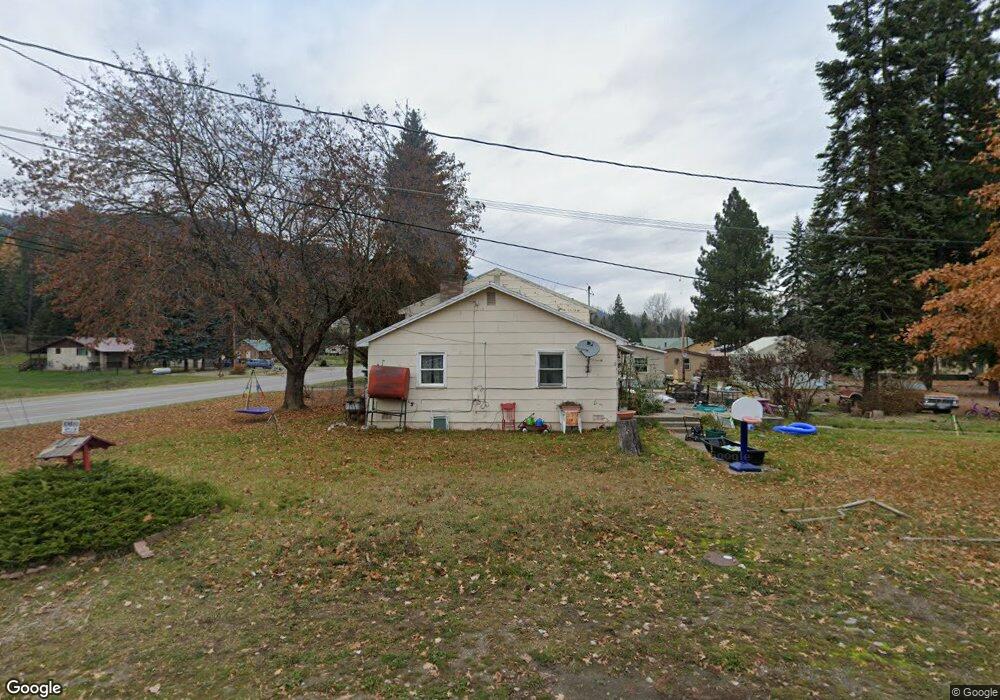
This home is located at 21 N 10th St, Troy, MT 59935 and is currently estimated at $397,046, approximately $257 per square foot. 21 N 10th St is a home with nearby schools including W.F. Morrison School, Troy Junior High School, and Troy High School.
Ownership History
Date
Name
Owned For
Owner Type
Purchase Details
Closed on
Jan 6, 2021
Sold by
Tmhp Llc
Bought by
Chamberlain Emily
Current Estimated Value
Purchase Details
Closed on
Jul 30, 2019
Sold by
Mafua Sandra
Bought by
Tmhp Llc
Home Financials for this Owner
Home Financials are based on the most recent Mortgage that was taken out on this home.
Original Mortgage
$211,567
Interest Rate
3.8%
Mortgage Type
Future Advance Clause Open End Mortgage
Purchase Details
Closed on
Jun 3, 2005
Sold by
Aunspaugh William E and Boatwright-Aunspaugh Sharon L
Bought by
Mafua Sili and Mafua Sandra
Create a Home Valuation Report for This Property
The Home Valuation Report is an in-depth analysis detailing your home's value as well as a comparison with similar homes in the area
Home Values in the Area
Average Home Value in this Area
Purchase History
| Date | Buyer | Sale Price | Title Company |
|---|---|---|---|
| Chamberlain Emily | -- | First American Titte Company | |
| Tmhp Llc | -- | First American Title Company | |
| Mafua Sili | -- | First American Title Co Of M |
Source: Public Records
Mortgage History
| Date | Status | Borrower | Loan Amount |
|---|---|---|---|
| Previous Owner | Tmhp Llc | $211,567 |
Source: Public Records
Tax History Compared to Growth
Tax History
| Year | Tax Paid | Tax Assessment Tax Assessment Total Assessment is a certain percentage of the fair market value that is determined by local assessors to be the total taxable value of land and additions on the property. | Land | Improvement |
|---|---|---|---|---|
| 2025 | $1,488 | $320,300 | $0 | $0 |
| 2024 | $1,523 | $186,100 | $0 | $0 |
| 2023 | $2,011 | $186,100 | $0 | $0 |
| 2022 | $1,533 | $153,000 | $0 | $0 |
| 2021 | $1,724 | $153,000 | $0 | $0 |
| 2020 | $1,709 | $133,600 | $0 | $0 |
| 2019 | $1,685 | $133,600 | $0 | $0 |
| 2018 | $1,717 | $131,900 | $0 | $0 |
| 2017 | $1,425 | $131,900 | $0 | $0 |
| 2016 | $1,448 | $115,100 | $0 | $0 |
| 2015 | $1,083 | $115,100 | $0 | $0 |
| 2014 | $1,204 | $68,211 | $0 | $0 |
Source: Public Records
Map
Nearby Homes
- Parcel A N Kootenai Dr
- Parcel B N Kootenai Dr
- 707 E Grant Ave
- 106 N 6th St
- 514 Mineral Ave
- TBD Dent Ave
- 158 Twisted Branch Ln
- 0000 Obrien Creek Rd
- 318 E Kootenai Ave
- 708 N 3rd St
- 205 E Spokane Ave
- 209 Mineral Ave
- 206 Mineral Ave
- 296 Riverside Ave
- 687 Iron Creek Rd
- 16995 Us Highway 2
- 181 Wapiti Way
- 1278 Hunts Mill Rd
- 48 Silvertip Way
- 87 Amber Rd
- 41 10th St
- 41 10th St Unit Troy Mobile Home Par
- 914 E Missoula Ave
- 903 E Missoula Ave
- 904 E Missoula Ave
- 1010 E Missoula Ave
- 803 10th St
- 902 E Missoula Ave
- 1012 E Missoula Ave
- 202 N 10th St
- 1104 E Missoula Ave
- 201 10th St
- 1108 E Missoula Ave
- 32 Pike Dr
- 33 Pike Dr
- 717 E Missoula Ave
- 1111 E Missoula Ave
- 1110 E Missoula Ave
- 100 Sunset Ln
- 1204 E Missoula Ave