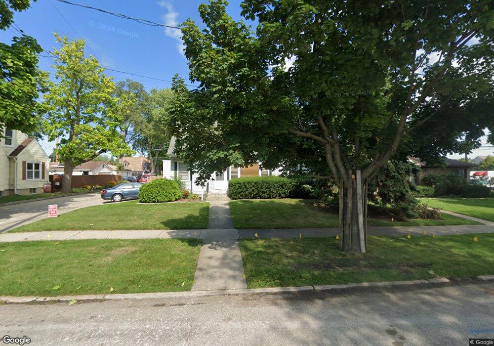
21 N 7th Ave Des Plaines, IL 60016
Estimated Value: $383,000 - $436,844
3
Beds
2
Baths
1,612
Sq Ft
$252/Sq Ft
Est. Value
About This Home
This home is located at 21 N 7th Ave, Des Plaines, IL 60016 and is currently estimated at $405,961, approximately $251 per square foot. 21 N 7th Ave is a home located in Cook County with nearby schools including Cumberland Elementary School, Chippewa Middle School, and Maine West High School.
Ownership History
Date
Name
Owned For
Owner Type
Purchase Details
Closed on
Apr 27, 2004
Sold by
Clower Pauline G
Bought by
Gonzalez Enrique and Gonzalez Sallie L
Current Estimated Value
Home Financials for this Owner
Home Financials are based on the most recent Mortgage that was taken out on this home.
Original Mortgage
$239,400
Interest Rate
6.46%
Mortgage Type
Unknown
Purchase Details
Closed on
Jul 12, 1999
Sold by
Polito Richard A and Polito Judith F
Bought by
Clower Pauline G
Home Financials for this Owner
Home Financials are based on the most recent Mortgage that was taken out on this home.
Original Mortgage
$128,000
Interest Rate
7.43%
Create a Home Valuation Report for This Property
The Home Valuation Report is an in-depth analysis detailing your home's value as well as a comparison with similar homes in the area
Home Values in the Area
Average Home Value in this Area
Purchase History
| Date | Buyer | Sale Price | Title Company |
|---|---|---|---|
| Gonzalez Enrique | $252,000 | Multiple | |
| Clower Pauline G | $160,000 | -- |
Source: Public Records
Mortgage History
| Date | Status | Borrower | Loan Amount |
|---|---|---|---|
| Previous Owner | Gonzalez Enrique | $239,400 | |
| Previous Owner | Clower Pauline G | $128,000 |
Source: Public Records
Tax History Compared to Growth
Tax History
| Year | Tax Paid | Tax Assessment Tax Assessment Total Assessment is a certain percentage of the fair market value that is determined by local assessors to be the total taxable value of land and additions on the property. | Land | Improvement |
|---|---|---|---|---|
| 2024 | $8,354 | $35,000 | $5,304 | $29,696 |
| 2023 | $8,126 | $35,000 | $5,304 | $29,696 |
| 2022 | $8,126 | $35,000 | $5,304 | $29,696 |
| 2021 | $6,442 | $24,286 | $4,368 | $19,918 |
| 2020 | $6,402 | $24,286 | $4,368 | $19,918 |
| 2019 | $6,421 | $27,288 | $4,368 | $22,920 |
| 2018 | $6,433 | $24,947 | $3,744 | $21,203 |
| 2017 | $6,337 | $24,947 | $3,744 | $21,203 |
| 2016 | $6,238 | $24,947 | $3,744 | $21,203 |
| 2015 | $5,696 | $21,463 | $3,276 | $18,187 |
| 2014 | $5,592 | $21,463 | $3,276 | $18,187 |
| 2013 | $4,459 | $18,082 | $3,276 | $14,806 |
Source: Public Records
Map
Nearby Homes
- 52 N 6th Ave
- 758 Hanbury Dr Unit 66
- 760 Hanbury Dr Unit 65
- 39 N 5th Ave
- 955 Rand Rd
- 154 Cornell Ave
- 890 North Ave
- 805 North Ave
- 1108 Evergreen Ave
- 732 Luau Dr
- 332 S Cumberland Pkwy
- 304 Amherst Ave
- 390 S Western Ave Unit 512
- 1057 Hollywood Ave
- 220 E Washington St
- 580 Concord Ln
- 47 S Josephine Ct
- 1245 Evergreen Ave
- 184 Lilah Ct
- 182 Lilah Ct