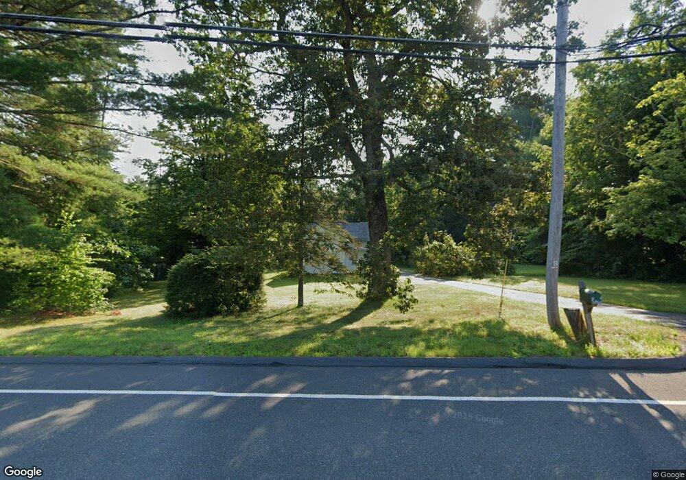
21 N Farms Rd Florence, MA 01062
Florence NeighborhoodEstimated Value: $394,000 - $578,000
3
Beds
1
Bath
1,234
Sq Ft
$367/Sq Ft
Est. Value
About This Home
This home is located at 21 N Farms Rd, Florence, MA 01062 and is currently estimated at $453,410, approximately $367 per square foot. 21 N Farms Rd is a home located in Hampshire County with nearby schools including Northampton High School, The Montessori School of Northampton, and Lander Grinspoon Academy.
Ownership History
Date
Name
Owned For
Owner Type
Purchase Details
Closed on
May 11, 2017
Sold by
Hendricks Mark P
Bought by
Mark P Hendricks Ret
Current Estimated Value
Purchase Details
Closed on
Aug 2, 2007
Sold by
Hendricks Mildred
Bought by
Hendricks Mark P
Create a Home Valuation Report for This Property
The Home Valuation Report is an in-depth analysis detailing your home's value as well as a comparison with similar homes in the area
Home Values in the Area
Average Home Value in this Area
Purchase History
| Date | Buyer | Sale Price | Title Company |
|---|---|---|---|
| Mark P Hendricks Ret | -- | -- | |
| Hendricks Mark P | -- | -- |
Source: Public Records
Mortgage History
| Date | Status | Borrower | Loan Amount |
|---|---|---|---|
| Previous Owner | Krupa Christine L | $172,800 | |
| Previous Owner | Poudrier Farry A | $17,000 |
Source: Public Records
Tax History Compared to Growth
Tax History
| Year | Tax Paid | Tax Assessment Tax Assessment Total Assessment is a certain percentage of the fair market value that is determined by local assessors to be the total taxable value of land and additions on the property. | Land | Improvement |
|---|---|---|---|---|
| 2025 | $4,550 | $326,600 | $122,900 | $203,700 |
| 2024 | $4,451 | $293,000 | $117,900 | $175,100 |
| 2023 | $4,014 | $253,400 | $106,700 | $146,700 |
| 2022 | $4,492 | $251,100 | $100,600 | $150,500 |
| 2021 | $3,766 | $216,800 | $96,300 | $120,500 |
| 2020 | $3,642 | $216,800 | $96,300 | $120,500 |
| 2019 | $3,564 | $205,200 | $99,500 | $105,700 |
| 2018 | $3,485 | $204,500 | $99,500 | $105,000 |
| 2017 | $3,413 | $204,500 | $99,500 | $105,000 |
| 2016 | $3,305 | $204,500 | $99,500 | $105,000 |
| 2015 | $3,583 | $226,800 | $117,700 | $109,100 |
| 2014 | $3,490 | $226,800 | $117,700 | $109,100 |
Source: Public Records
Map
Nearby Homes
- 154 N Maple St
- 20 Bridge Rd Unit 8
- 35 Hillcrest Dr
- 575 Bridge Rd Unit 11-2
- 76 Maple St
- 67 Park St Unit D
- 16 Fairfield Ave
- 152 S Main St Unit 4
- 152 S Main St Unit 6
- 152 S Main St Unit 8
- 152 S Main St Unit 7
- 152 S Main St Unit 5
- 0 Haydenville Rd
- 47 Hatfield St Unit A
- 19 Hatfield St
- 30 Landy Ave
- 37 Landy Ave
- 51 1/2 Hatfield St Unit 6
- 243 Main St Unit 6
- 46 Allison St