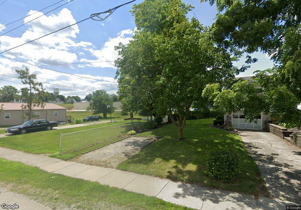
21-N Rd Rd West Unity, OH 43570
Estimated Value: $276,000
4
Beds
3
Baths
2,194
Sq Ft
$126/Sq Ft
Est. Value
About This Home
This home is located at 21-N Rd Rd, West Unity, OH 43570 and is currently estimated at $276,000, approximately $125 per square foot. 21-N Rd Rd is a home with nearby schools including Hilltop Elementary School and Hilltop High School.
Ownership History
Date
Name
Owned For
Owner Type
Purchase Details
Closed on
Jun 19, 2017
Sold by
Hancock Jason P and Hancock Amy S
Bought by
Hancock Jason P and Hancock Amy S
Current Estimated Value
Purchase Details
Closed on
Mar 10, 2016
Sold by
Hancock Jason P and Hancock Amy S
Bought by
Hancock Jason P and Hancock Amy S
Purchase Details
Closed on
Mar 17, 2012
Sold by
Nofziger Timothy L and Nofziger Vickie S
Bought by
Hancock Jason P
Home Financials for this Owner
Home Financials are based on the most recent Mortgage that was taken out on this home.
Original Mortgage
$135,000
Outstanding Balance
$93,089
Interest Rate
3.95%
Mortgage Type
Construction
Estimated Equity
$182,911
Purchase Details
Closed on
Oct 22, 2011
Sold by
Nofziger Timothy L and Nofziger Vickie S
Bought by
Hancock Jason P
Home Financials for this Owner
Home Financials are based on the most recent Mortgage that was taken out on this home.
Original Mortgage
$75,000
Interest Rate
5%
Mortgage Type
Seller Take Back
Purchase Details
Closed on
Jul 8, 2009
Sold by
Phillips Richard S and Phillips Patricia A
Bought by
Nofziger Timothy L and Nofziger Vickie S
Home Financials for this Owner
Home Financials are based on the most recent Mortgage that was taken out on this home.
Original Mortgage
$144,878
Interest Rate
5.62%
Mortgage Type
Purchase Money Mortgage
Purchase Details
Closed on
Dec 15, 1999
Sold by
Phillips Patricia A
Bought by
Phillips Shane R
Purchase Details
Closed on
Oct 25, 1999
Sold by
Phillips Shane R
Bought by
Phillips Richard S
Purchase Details
Closed on
Jan 1, 1990
Bought by
Jodry Jodry D and Jodry Catherine J
Create a Home Valuation Report for This Property
The Home Valuation Report is an in-depth analysis detailing your home's value as well as a comparison with similar homes in the area
Home Values in the Area
Average Home Value in this Area
Purchase History
| Date | Buyer | Sale Price | Title Company |
|---|---|---|---|
| Hancock Jason P | -- | None Available | |
| Hancock Jason P | -- | None Available | |
| Hancock Jason P | -- | None Available | |
| Hancock Jason P | $85,000 | None Available | |
| Hancock Jason P | $85,000 | None Available | |
| Nofziger Timothy L | $70,500 | None Available | |
| Phillips Shane R | -- | -- | |
| Phillips Richard S | $70,500 | -- | |
| Jodry Jodry D | -- | -- |
Source: Public Records
Mortgage History
| Date | Status | Borrower | Loan Amount |
|---|---|---|---|
| Open | Hancock Jason P | $135,000 | |
| Previous Owner | Hancock Jason P | $75,000 | |
| Previous Owner | Nofziger Timothy L | $144,878 |
Source: Public Records
Tax History Compared to Growth
Tax History
| Year | Tax Paid | Tax Assessment Tax Assessment Total Assessment is a certain percentage of the fair market value that is determined by local assessors to be the total taxable value of land and additions on the property. | Land | Improvement |
|---|---|---|---|---|
| 2024 | $5,691 | $150,920 | $14,210 | $136,710 |
| 2023 | $5,691 | $123,840 | $12,780 | $111,060 |
| 2022 | $5,565 | $123,840 | $12,780 | $111,060 |
| 2021 | $5,565 | $123,840 | $12,780 | $111,060 |
| 2020 | $4,775 | $103,290 | $10,750 | $92,540 |
| 2019 | $2,401 | $6,550 | $6,550 | $0 |
| 2018 | $1,167 | $6,550 | $6,550 | $0 |
| 2017 | $196 | $4,310 | $4,310 | $0 |
| 2016 | $2,032 | $24,610 | $5,080 | $19,530 |
| 2015 | $2,032 | $46,590 | $11,310 | $35,280 |
| 2014 | $2,016 | $42,350 | $10,290 | $32,060 |
| 2013 | $1,994 | $42,350 | $10,290 | $32,060 |
Source: Public Records
Map
Nearby Homes
- 22227 Us Highway 20a
- 000 W Jackson
- 311 W Rings St
- 23161 County Road Jk
- 205 Taylor Dr
- 340 S Main St
- 14701 Us Highway 127
- 0 U S 20
- 612 Cynthia Dr
- 400 W Main St
- 7170 County Road 23
- 505 N Gorham St
- 16806 US Highway 20a
- 552 Quail Run
- 433 Primrose Ln
- 16228 County Road N-30
- 24218 State Route 2
- 3063 County Road 26-2
- 301 N Pointe Dr
- 300 Degroff Ave
- 13972 County Road 21n
- 13918 County Road 21n
- 13632 County Road 21n
- 11025 County Road 27 1
- 11067 County Road 27 1
- 27394 County Road L
- 13538 County Road 21n
- 11105 County Road 27 1
- 9913 County Road 26 2
- 27350 County Road L
- 27350 C R L
- 26810 County Road L
- 9952 County Road 26 2
- 13946 County Road 2230
- 26691 County Road L
- 22581 County Road M50
- 22575 County Road M50
- 11215 County Road 27 1
- 11236 County Road 27 1
- 13985 County Road 2230