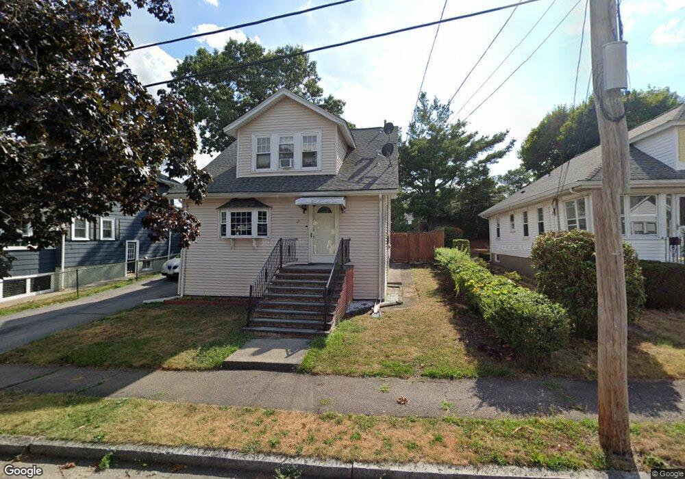
21 Newfield St Quincy, MA 02170
Montclair NeighborhoodEstimated Value: $671,000 - $713,000
3
Beds
2
Baths
1,338
Sq Ft
$522/Sq Ft
Est. Value
About This Home
This home is located at 21 Newfield St, Quincy, MA 02170 and is currently estimated at $698,741, approximately $522 per square foot. 21 Newfield St is a home located in Norfolk County with nearby schools including Montclair Elementary School, Atlantic Middle School, and North Quincy High School.
Ownership History
Date
Name
Owned For
Owner Type
Purchase Details
Closed on
Apr 3, 2008
Sold by
Yee David Y and Yee Sun T
Bought by
Yee David W and Yee Xing L M
Current Estimated Value
Purchase Details
Closed on
Jun 23, 1994
Sold by
Suprey William G and Suprey Mary T
Bought by
Yee David W and Yee Xing Lm
Home Financials for this Owner
Home Financials are based on the most recent Mortgage that was taken out on this home.
Original Mortgage
$60,000
Interest Rate
8.55%
Create a Home Valuation Report for This Property
The Home Valuation Report is an in-depth analysis detailing your home's value as well as a comparison with similar homes in the area
Home Values in the Area
Average Home Value in this Area
Purchase History
| Date | Buyer | Sale Price | Title Company |
|---|---|---|---|
| Yee David W | -- | -- | |
| Yee David W | $160,000 | -- |
Source: Public Records
Mortgage History
| Date | Status | Borrower | Loan Amount |
|---|---|---|---|
| Previous Owner | Yee David W | $62,000 | |
| Previous Owner | Yee David W | $60,000 | |
| Previous Owner | Yee David W | $60,000 |
Source: Public Records
Tax History Compared to Growth
Tax History
| Year | Tax Paid | Tax Assessment Tax Assessment Total Assessment is a certain percentage of the fair market value that is determined by local assessors to be the total taxable value of land and additions on the property. | Land | Improvement |
|---|---|---|---|---|
| 2025 | $7,212 | $625,500 | $352,200 | $273,300 |
| 2024 | $7,023 | $623,200 | $352,200 | $271,000 |
| 2023 | $6,556 | $589,000 | $335,400 | $253,600 |
| 2022 | $6,406 | $534,700 | $291,700 | $243,000 |
| 2021 | $6,214 | $511,900 | $277,800 | $234,100 |
| 2020 | $6,260 | $503,600 | $277,800 | $225,800 |
| 2019 | $5,763 | $459,200 | $259,600 | $199,600 |
| 2018 | $5,768 | $432,400 | $240,400 | $192,000 |
| 2017 | $5,841 | $412,200 | $228,900 | $183,300 |
| 2016 | $5,451 | $379,600 | $199,000 | $180,600 |
| 2015 | $4,976 | $340,800 | $181,000 | $159,800 |
| 2014 | $4,616 | $310,600 | $172,400 | $138,200 |
Source: Public Records
Map
Nearby Homes
- 129-131 Pine St
- 169 Pine St
- 171 Milton St
- 51 Denmark Ave
- 26 Berlin Ave
- 11 Rockwell Ave
- 121 Hillside Ave
- 18 Eaton St
- 143 Arlington St
- 250 Fayette St
- 115 W Squantum St Unit 907
- 115 W Squantum St Unit 810
- 45 Marion St
- 60 Pond St
- 17 Holmes St Unit 2
- 17 Holmes St Unit 4
- 41 Wallace Rd
- 55 Christopher Dr
- 312 Edge Hill Rd
- 10 White St