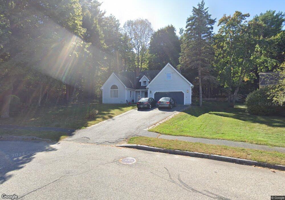
21 Old Mast Rd Portland, ME 04102
Stroudwater NeighborhoodEstimated Value: $680,439 - $818,000
4
Beds
3
Baths
2,045
Sq Ft
$361/Sq Ft
Est. Value
About This Home
This home is located at 21 Old Mast Rd, Portland, ME 04102 and is currently estimated at $738,860, approximately $361 per square foot. 21 Old Mast Rd is a home located in Cumberland County with nearby schools including Amanda C Rowe School, King Middle School, and The Little Dolphin School Foundation.
Ownership History
Date
Name
Owned For
Owner Type
Purchase Details
Closed on
May 15, 2019
Sold by
Smith Richard H and Smith Carrie A
Bought by
Smith Carrie A and Smith Chelsea
Current Estimated Value
Create a Home Valuation Report for This Property
The Home Valuation Report is an in-depth analysis detailing your home's value as well as a comparison with similar homes in the area
Home Values in the Area
Average Home Value in this Area
Purchase History
| Date | Buyer | Sale Price | Title Company |
|---|---|---|---|
| Smith Carrie A | -- | -- | |
| Smith Carrie A | -- | -- |
Source: Public Records
Tax History Compared to Growth
Tax History
| Year | Tax Paid | Tax Assessment Tax Assessment Total Assessment is a certain percentage of the fair market value that is determined by local assessors to be the total taxable value of land and additions on the property. | Land | Improvement |
|---|---|---|---|---|
| 2024 | $6,486 | $432,100 | $81,700 | $350,400 |
| 2023 | $6,227 | $432,100 | $81,700 | $350,400 |
| 2022 | $5,881 | $432,100 | $81,700 | $350,400 |
| 2021 | $5,613 | $432,100 | $81,700 | $350,400 |
| 2020 | $6,086 | $261,100 | $75,100 | $186,000 |
| 2019 | $6,086 | $261,100 | $75,100 | $186,000 |
| 2018 | $5,870 | $261,100 | $75,100 | $186,000 |
| 2017 | $5,653 | $261,100 | $75,100 | $186,000 |
| 2016 | $5,512 | $261,100 | $75,100 | $186,000 |
| 2015 | $5,386 | $261,100 | $75,100 | $186,000 |
| 2014 | $5,222 | $261,100 | $75,100 | $186,000 |
Source: Public Records
Map
Nearby Homes
- 89 Cobb Ave
- 1 Firefly St Unit 402
- 1 Firefly St Unit 201
- 1 Firefly St Unit 303
- 1 Firefly St Unit 302
- 1 Firefly St Unit 403/103
- 1 Firefly St Unit 301
- 1 Firefly St Unit 401
- 1 Firefly St Unit 403
- 1 Firefly St Unit 202
- 1346 Westbrook St
- 2 Firefly St Unit 303
- 1542 Congress St
- 16 Black Sparrow Dr
- 1549 Westbrook St
- 159 Bancroft St
- 7 Twin Knolls Ln
- 162 Hobart St
- 155 Owls Nest Rd
- 149 Owls Nest Rd