21 Old Nugent Farm Rd Gloucester, MA 01930
East Gloucester NeighborhoodEstimated Value: $877,000 - $1,099,001
3
Beds
3
Baths
1,750
Sq Ft
$563/Sq Ft
Est. Value
About This Home
This home is located at 21 Old Nugent Farm Rd, Gloucester, MA 01930 and is currently estimated at $985,750, approximately $563 per square foot. 21 Old Nugent Farm Rd is a home located in Essex County with nearby schools including East Gloucester Elementary School, Ralph B O'maley Middle School, and Gloucester High School.
Ownership History
Date
Name
Owned For
Owner Type
Purchase Details
Closed on
Dec 5, 2019
Sold by
Gardner John D and Gardner Susan M
Bought by
Wilson Anne and Wilson Jonathan
Current Estimated Value
Purchase Details
Closed on
Jun 21, 2016
Sold by
Eleanor W Spence T
Bought by
Gardner John D and Gardner Susan M
Purchase Details
Closed on
Aug 22, 1991
Sold by
Old Nugent Farm T
Bought by
Spence Eleanor W
Create a Home Valuation Report for This Property
The Home Valuation Report is an in-depth analysis detailing your home's value as well as a comparison with similar homes in the area
Home Values in the Area
Average Home Value in this Area
Purchase History
| Date | Buyer | Sale Price | Title Company |
|---|---|---|---|
| Wilson Anne | $605,000 | None Available | |
| Gardner John D | $505,000 | -- | |
| Spence Eleanor W | $217,000 | -- |
Source: Public Records
Tax History Compared to Growth
Tax History
| Year | Tax Paid | Tax Assessment Tax Assessment Total Assessment is a certain percentage of the fair market value that is determined by local assessors to be the total taxable value of land and additions on the property. | Land | Improvement |
|---|---|---|---|---|
| 2025 | $7,815 | $804,000 | $0 | $804,000 |
| 2024 | $8,008 | $823,000 | $0 | $823,000 |
| 2023 | $7,782 | $734,800 | $0 | $734,800 |
| 2022 | $7,723 | $658,400 | $0 | $658,400 |
| 2021 | $7,709 | $619,700 | $0 | $619,700 |
| 2020 | $6,996 | $567,400 | $0 | $567,400 |
| 2019 | $6,677 | $526,200 | $0 | $526,200 |
| 2018 | $6,449 | $498,800 | $0 | $498,800 |
| 2017 | $6,741 | $511,100 | $0 | $511,100 |
| 2016 | $6,412 | $471,100 | $0 | $471,100 |
| 2015 | $6,425 | $470,700 | $0 | $470,700 |
Source: Public Records
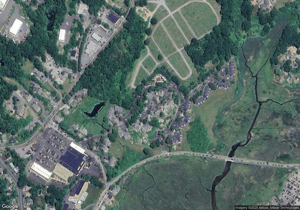
Map
Nearby Homes
- 8 Barn Ln
- 26 Marina Dr
- 29 Harrison Ave
- 10 Amero Ct
- 20 Haskell St
- 9 Rocky Pasture Rd
- 86 E Main St
- 97 E Main St
- 100 E Main St
- 22 Taylor St Unit 1
- 20 Calder St
- 160 Prospect St Unit 3
- 30 Chapel St Unit B
- 4 Mount Vernon St
- 197 E Main St
- 197 E Main St Unit 1
- 197 E Main St Unit 2
- 197 E Main St Unit 1 & 2
- 36 Links Rd
- 40 Sargent St
- 22 Old Nugent Farm Rd
- 20 Old Nugent Farm Rd
- 19 Old Nugent Farm Rd
- 21 Old Nugent Farm Rd Unit 21
- 20 Old Nugent Farm Rd Unit 20
- 27 Old Nugent Farm Rd
- 26 Old Nugent Farm Rd
- 25 Old Nugent Farm Rd
- 24 Old Nugent Farm Rd
- 23 Old Nugent Farm Rd
- 32 Old Nugent Farm Rd
- 31 Old Nugent Farm Rd
- 30 Old Nugent Farm Rd
- 29 Old Nugent Farm Rd
- 31 Old Nugent Farm Rd Unit 31
- 14 Old Nugent Farm Rd
- 13 Old Nugent Farm Rd
- 34 Old Nugent Farm Rd
- 47 Old Nugent Farm Rd
- 46 Old Nugent Farm Rd