21 Philip St Hudson, MA 01749
Estimated Value: $776,000 - $914,000
4
Beds
3
Baths
2,640
Sq Ft
$319/Sq Ft
Est. Value
About This Home
This home is located at 21 Philip St, Hudson, MA 01749 and is currently estimated at $841,096, approximately $318 per square foot. 21 Philip St is a home located in Middlesex County with nearby schools including David J. Quinn Middle School, Hudson High School, and First Steps Children's Center.
Ownership History
Date
Name
Owned For
Owner Type
Purchase Details
Closed on
Nov 4, 2024
Sold by
Byrnes Nt and Davin
Bought by
Richard S Byrnes T 2024 and Byrnes
Current Estimated Value
Purchase Details
Closed on
Mar 10, 2014
Sold by
R S Byrnes T 1 and Byrnes Richard S
Bought by
Byrnes Nt and Byrnes Richard S
Create a Home Valuation Report for This Property
The Home Valuation Report is an in-depth analysis detailing your home's value as well as a comparison with similar homes in the area
Home Values in the Area
Average Home Value in this Area
Purchase History
| Date | Buyer | Sale Price | Title Company |
|---|---|---|---|
| Richard S Byrnes T 2024 | -- | None Available | |
| Richard S Byrnes T 2024 | -- | None Available | |
| Byrnes Nt | -- | -- | |
| Byrnes Nt | -- | -- |
Source: Public Records
Tax History Compared to Growth
Tax History
| Year | Tax Paid | Tax Assessment Tax Assessment Total Assessment is a certain percentage of the fair market value that is determined by local assessors to be the total taxable value of land and additions on the property. | Land | Improvement |
|---|---|---|---|---|
| 2025 | $10,693 | $770,400 | $252,400 | $518,000 |
| 2024 | $10,655 | $761,100 | $229,600 | $531,500 |
| 2023 | $9,696 | $664,100 | $221,100 | $443,000 |
| 2022 | $9,662 | $609,200 | $200,800 | $408,400 |
| 2021 | $7,947 | $554,000 | $191,400 | $362,600 |
| 2020 | $9,136 | $550,000 | $187,400 | $362,600 |
| 2019 | $8,636 | $507,100 | $187,400 | $319,700 |
| 2018 | $8,502 | $481,000 | $178,500 | $302,500 |
| 2017 | $8,020 | $458,300 | $170,100 | $288,200 |
| 2016 | $7,480 | $432,600 | $170,100 | $262,500 |
| 2015 | $7,362 | $426,300 | $160,500 | $265,800 |
| 2014 | $7,078 | $406,300 | $140,900 | $265,400 |
Source: Public Records
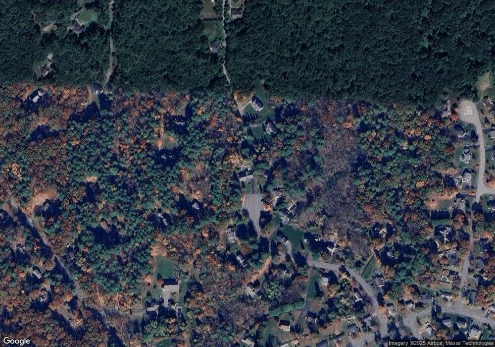
Map
Nearby Homes
- 133 Lincoln St
- 200 Manning St Unit 6C
- 200 Manning St Unit 14B
- 1 Barracks Rd Unit 1
- 104 Lincoln St
- 346 Long Hill Rd
- 6 Century Mill Rd
- 74 Cox St Unit 9
- 1 Century Mill Rd
- 76 Woobly Rd
- 55 Cottage St
- 0 Long Hill Rd
- 51 Teele Rd
- 223 Central St
- 154 Long Hill Rd
- 25 Old Stone Cir
- 0 Mill Pond Rd Unit 73442819
- 2 Edith Rd
- 3 Highland Park Ave
- 18-24 River St Unit 1