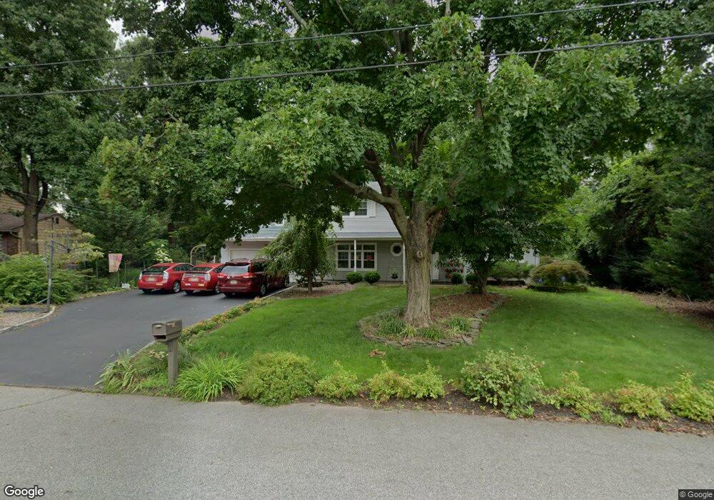
21 Phillip Dr Edison, NJ 08820
Estimated Value: $968,946 - $1,247,000
4
Beds
3
Baths
2,942
Sq Ft
$375/Sq Ft
Est. Value
About This Home
This home is located at 21 Phillip Dr, Edison, NJ 08820 and is currently estimated at $1,102,737, approximately $374 per square foot. 21 Phillip Dr is a home located in Middlesex County with nearby schools including Martin Luther King Elementary School, John Adams Middle School, and J.P. Stevens High School.
Ownership History
Date
Name
Owned For
Owner Type
Purchase Details
Closed on
Sep 28, 2006
Sold by
Cheret Robert
Bought by
Rabideau Paul and Rabideau Rita
Current Estimated Value
Home Financials for this Owner
Home Financials are based on the most recent Mortgage that was taken out on this home.
Original Mortgage
$410,000
Outstanding Balance
$244,790
Interest Rate
6.47%
Estimated Equity
$857,947
Create a Home Valuation Report for This Property
The Home Valuation Report is an in-depth analysis detailing your home's value as well as a comparison with similar homes in the area
Home Values in the Area
Average Home Value in this Area
Purchase History
| Date | Buyer | Sale Price | Title Company |
|---|---|---|---|
| Rabideau Paul | $560,000 | -- |
Source: Public Records
Mortgage History
| Date | Status | Borrower | Loan Amount |
|---|---|---|---|
| Open | Rabideau Paul | $410,000 |
Source: Public Records
Tax History
| Year | Tax Paid | Tax Assessment Tax Assessment Total Assessment is a certain percentage of the fair market value that is determined by local assessors to be the total taxable value of land and additions on the property. | Land | Improvement |
|---|---|---|---|---|
| 2025 | $15,013 | $252,200 | $117,400 | $134,800 |
| 2024 | $14,933 | $252,200 | $117,400 | $134,800 |
Source: Public Records
Map
Nearby Homes
- 19 Annette Dr
- 40 Linda Ln
- 77 Linda Ln
- 3 Old Hickory Ln
- 4 Hemlock Dr
- 7 Gentore Ct
- 404 Westgate Dr
- 302 Westgate Dr
- 5 Hackett Dr
- 16 Moyse Place
- 133 Oakmont Ct Unit 133D
- 127 Oakmont Ct
- 113 Heather Ct
- 1691 Frank St
- 16 Rolling Brook Dr
- 5 Old Raritan Rd
- 21 King St
- 28 Hawthorn Dr
- 1191 Cooper Rd
- 2805 Cricket Cir
- 19 Phillip Dr
- 23 Phillip Dr
- 19 Mary Ellen Dr
- 17 Phillip Dr
- 21 Mary Ellen Dr
- 20 Phillip Dr
- 13 Mary Ellen Dr
- 7 Mary Ellen Dr
- 17 Mary Ellen Dr
- 1 Betty Ann Dr
- 15 Phillip Dr
- 23 Mary Ellen Dr
- 12 Mary Ellen Dr
- 10 Mary Ellen Dr
- 5 Mary Ellen Dr
- 25 Mary Ellen Dr
- 20 Mary Ellen Dr
- 22 Mary Ellen Dr
- 13 Phillip Dr
- 16 Phillip Dr
Your Personal Tour Guide
Ask me questions while you tour the home.