21 Phillips Cove Rd Cape Neddick, ME 03902
Ogunquit NeighborhoodEstimated Value: $3,754,048 - $4,732,000
4
Beds
7
Baths
9,444
Sq Ft
$459/Sq Ft
Est. Value
About This Home
This home is located at 21 Phillips Cove Rd, Cape Neddick, ME 03902 and is currently estimated at $4,332,683, approximately $458 per square foot. 21 Phillips Cove Rd is a home located in York County with nearby schools including Coastal Ridge Elementary School, Village Elementary School, and York Middle School.
Ownership History
Date
Name
Owned For
Owner Type
Purchase Details
Closed on
Apr 16, 2013
Sold by
Holt Virginia M
Bought by
Holt Darry R and Holt Virginia M
Current Estimated Value
Home Financials for this Owner
Home Financials are based on the most recent Mortgage that was taken out on this home.
Original Mortgage
$663,500
Interest Rate
3.55%
Mortgage Type
Purchase Money Mortgage
Create a Home Valuation Report for This Property
The Home Valuation Report is an in-depth analysis detailing your home's value as well as a comparison with similar homes in the area
Home Values in the Area
Average Home Value in this Area
Purchase History
| Date | Buyer | Sale Price | Title Company |
|---|---|---|---|
| Holt Darry R | -- | -- |
Source: Public Records
Mortgage History
| Date | Status | Borrower | Loan Amount |
|---|---|---|---|
| Closed | Holt Darry R | $663,500 |
Source: Public Records
Tax History Compared to Growth
Tax History
| Year | Tax Paid | Tax Assessment Tax Assessment Total Assessment is a certain percentage of the fair market value that is determined by local assessors to be the total taxable value of land and additions on the property. | Land | Improvement |
|---|---|---|---|---|
| 2024 | $23,014 | $2,739,800 | $1,063,500 | $1,676,300 |
| 2023 | $20,320 | $2,404,700 | $728,400 | $1,676,300 |
| 2022 | $21,065 | $2,463,800 | $728,400 | $1,735,400 |
| 2021 | $21,392 | $2,149,900 | $699,300 | $1,450,600 |
| 2020 | $20,581 | $1,854,100 | $699,300 | $1,154,800 |
| 2019 | $20,551 | $1,843,100 | $699,300 | $1,143,800 |
| 2018 | $10,919 | $1,874,800 | $731,000 | $1,143,800 |
| 2017 | $20,907 | $1,909,300 | $746,800 | $1,162,500 |
| 2016 | $21,289 | $1,909,300 | $746,800 | $1,162,500 |
| 2015 | $20,143 | $1,831,200 | $715,000 | $1,116,200 |
| 2014 | $19,594 | $1,831,200 | $715,000 | $1,116,200 |
| 2013 | $18,110 | $1,736,300 | $596,000 | $1,140,300 |
Source: Public Records
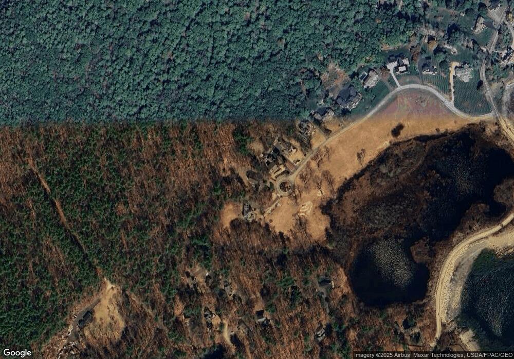
Map
Nearby Homes
- 10 and 14 Blue Heron Cove
- 37 Pine Mountain Rd
- 10 Pine Mountain Rd
- 119 Pine Hill Rd
- 11 Ossipee Rd
- 147 River Rd
- 16 Passaic Rd
- 20 Turner Dr
- 113 Bald Head Cliff Rd
- 141 Logging Rd
- 327 Pine Hill Rd
- 90 Bald Head Cliff Rd
- 8 Jack Rabbit Ridge
- 1376 Us Route 1
- 4 Jack Rabbit Ridge
- 41 Circuit Rd
- 16 Zoe's Way
- 1 Ruby Rd
- 20 Zoe's Way
- 350 Pine Hill Rd
- 19 Phillips Cove Rd
- 23 Phillips Cove Rd
- 17 Phillips Cove Rd
- 15 Phillips Cove Rd
- 13 Phillips Cove Rd
- 16 Ocean Circuit Dr
- 18 Ocean Circuit Dr
- 11 Phillips Cove Rd
- 6 Overland Ave
- 19 Phillips Cove Rd
- 15 Ocean Circuit Dr
- 14 Ocean Circuit Dr
- 7 Phillips Cove
- 7 Phillips Cove Rd
- 7 Phillips Cove Rd
- 24 N Spring Rd
- 7 Ocean Circuit Dr
- 1 N Spring Rd
- 25 N Spring Rd
- 5 Phillips Cove Rd