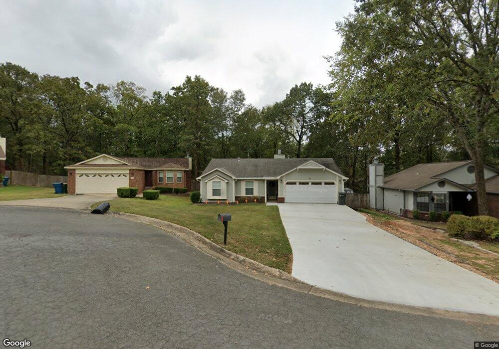
21 Pinto Point Little Rock, AR 72211
Western Little Rock NeighborhoodEstimated Value: $203,653 - $220,000
--
Bed
2
Baths
1,296
Sq Ft
$164/Sq Ft
Est. Value
About This Home
This home is located at 21 Pinto Point, Little Rock, AR 72211 and is currently estimated at $212,413, approximately $163 per square foot. 21 Pinto Point is a home located in Pulaski County with nearby schools including Terry Elementary School, Pinnacle View Middle School, and LISA Academy West Elementary School.
Ownership History
Date
Name
Owned For
Owner Type
Purchase Details
Closed on
Dec 22, 2008
Sold by
James Jo Beth
Bought by
Sawyer Kip A and Sawyer Denise L
Current Estimated Value
Purchase Details
Closed on
Dec 29, 2000
Sold by
Straessle Jeff
Bought by
James Jo Beth
Home Financials for this Owner
Home Financials are based on the most recent Mortgage that was taken out on this home.
Original Mortgage
$92,341
Interest Rate
7.78%
Mortgage Type
FHA
Purchase Details
Closed on
Apr 24, 1998
Sold by
Edmondson Becky L
Bought by
Straessle Jeff and Straessle Kristi K
Home Financials for this Owner
Home Financials are based on the most recent Mortgage that was taken out on this home.
Original Mortgage
$84,049
Interest Rate
7.21%
Mortgage Type
FHA
Create a Home Valuation Report for This Property
The Home Valuation Report is an in-depth analysis detailing your home's value as well as a comparison with similar homes in the area
Home Values in the Area
Average Home Value in this Area
Purchase History
| Date | Buyer | Sale Price | Title Company |
|---|---|---|---|
| Sawyer Kip A | $120,000 | West Little Rock Title Co | |
| James Jo Beth | $91,666 | Stewart Title | |
| James Jo Beth | -- | Stewart Title | |
| Straessle Jeff | $84,000 | American Abstract & Title Co |
Source: Public Records
Mortgage History
| Date | Status | Borrower | Loan Amount |
|---|---|---|---|
| Previous Owner | James Jo Beth | $92,341 | |
| Previous Owner | Straessle Jeff | $84,049 |
Source: Public Records
Tax History Compared to Growth
Tax History
| Year | Tax Paid | Tax Assessment Tax Assessment Total Assessment is a certain percentage of the fair market value that is determined by local assessors to be the total taxable value of land and additions on the property. | Land | Improvement |
|---|---|---|---|---|
| 2025 | $2,223 | $31,756 | $4,600 | $27,156 |
| 2024 | $2,072 | $31,756 | $4,600 | $27,156 |
| 2023 | $2,072 | $31,756 | $4,600 | $27,156 |
| 2022 | $1,899 | $31,756 | $4,600 | $27,156 |
| 2021 | $1,739 | $24,660 | $5,300 | $19,360 |
| 2020 | $1,726 | $24,660 | $5,300 | $19,360 |
| 2019 | $1,726 | $24,660 | $5,300 | $19,360 |
| 2018 | $1,726 | $24,660 | $5,300 | $19,360 |
| 2017 | $1,726 | $24,660 | $5,300 | $19,360 |
| 2016 | $1,845 | $26,360 | $5,000 | $21,360 |
| 2015 | $1,848 | $26,360 | $5,000 | $21,360 |
| 2014 | $1,848 | $26,360 | $5,000 | $21,360 |
Source: Public Records
Map
Nearby Homes
- 28 Elkrun Cove
- 23 Wagon Wheel Ct
- 1707 Point Dr W
- 1408 S Bowman Rd
- 12400 Cherry Laurel Dr
- 12825 Westglen Dr
- 1509 Gamble Rd
- 714 Atkins Rd
- 13100 Kanis Rd
- 2001 Brookford Dr
- 2 Timber Ridge Ct
- 000 Coleman Ave
- 1115 Nix Rd
- 1105 Nix Rd
- 1109 Nix Rd
- 12601 Misty Creek Dr
- 2623 Bowman Rd
- 624 Gamble Rd
- 13408 Teton Dr
- 12621 Valleywood Dr