Estimated Value: $1,825,000 - $2,100,000
3
Beds
2
Baths
2,120
Sq Ft
$926/Sq Ft
Est. Value
About This Home
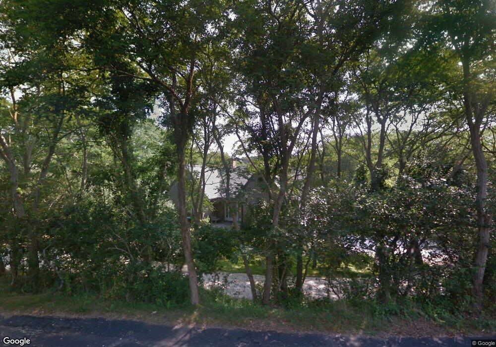
This home is located at 21 Quanset Rd, Truro, MA 2666 and is currently estimated at $1,962,827, approximately $925 per square foot. 21 Quanset Rd is a home located in Barnstable County with nearby schools including Truro Central School.
Ownership History
Date
Name
Owned For
Owner Type
Purchase Details
Closed on
Jan 21, 2010
Sold by
Venti Richard
Bought by
Berman Mindy
Current Estimated Value
Home Financials for this Owner
Home Financials are based on the most recent Mortgage that was taken out on this home.
Original Mortgage
$600,000
Interest Rate
4.79%
Mortgage Type
Purchase Money Mortgage
Purchase Details
Closed on
Jan 27, 1998
Sold by
Polak Virginia
Bought by
Venti Richard and Anson Mark A
Home Financials for this Owner
Home Financials are based on the most recent Mortgage that was taken out on this home.
Original Mortgage
$224,000
Interest Rate
7.11%
Mortgage Type
Purchase Money Mortgage
Create a Home Valuation Report for This Property
The Home Valuation Report is an in-depth analysis detailing your home's value as well as a comparison with similar homes in the area
Home Values in the Area
Average Home Value in this Area
Purchase History
We collect this data history from publicly available records. To have your information removed, we recommend requesting removal directly through your county’s website.
| Date | Buyer | Sale Price | Title Company |
|---|---|---|---|
| Berman Mindy | $800,000 | -- | |
| Berman Mindy | $800,000 | -- | |
| Venti Richard | $280,000 | -- |
Source: Public Records
Mortgage History
We collect this data history from publicly available records. To have your information removed, we recommend requesting removal directly through your county’s website.
| Date | Status | Borrower | Loan Amount |
|---|---|---|---|
| Open | Venti Richard | $500,000 | |
| Closed | Berman Mindy | $600,000 | |
| Previous Owner | Venti Richard | $224,000 |
Source: Public Records
Tax History
| Year | Tax Paid | Tax Assessment Tax Assessment Total Assessment is a certain percentage of the fair market value that is determined by local assessors to be the total taxable value of land and additions on the property. | Land | Improvement |
|---|---|---|---|---|
| 2025 | $9,449 | $1,529,000 | $575,100 | $953,900 |
| 2024 | $8,926 | $1,490,100 | $569,400 | $920,700 |
| 2023 | $7,575 | $1,158,300 | $396,100 | $762,200 |
| 2022 | $7,037 | $910,400 | $341,400 | $569,000 |
| 2021 | $6,709 | $909,100 | $341,400 | $567,700 |
| 2020 | $1,548 | $907,500 | $338,000 | $569,500 |
| 2019 | $6,573 | $882,300 | $338,000 | $544,300 |
| 2018 | $0 | $835,200 | $338,000 | $497,200 |
| 2017 | $1,339 | $812,800 | $338,000 | $474,800 |
| 2016 | $5,244 | $774,600 | $303,300 | $471,300 |
| 2015 | $5,033 | $759,100 | $300,400 | $458,700 |
Source: Public Records
Map
Nearby Homes
- 9 Towhee Ln
- 10 Benson Ln
- 110 Prince Valley Rd
- 5 Great Hills Rd
- 4 Slade Hill Rd
- 52 Corn Hill Rd
- 320 Coles Neck Rd
- 85 Haywain Way
- 339 Coles Neck Rd
- 25 Resolution Rd
- 3 N Union Field Rd
- 9 Kinnikinnick Rd
- 7 Arrowhead Farm Rd
- 120 High Meadow Rd
- 65 & 75 Deer Path Way
- 1 Captain Williams Way
- 5 High Ridge Road Extension
- 256 Browns Neck Rd
- 110 Wellfleet Woods Ln
- 60 Perch Pond Way
Your Personal Tour Guide
Ask me questions while you tour the home.