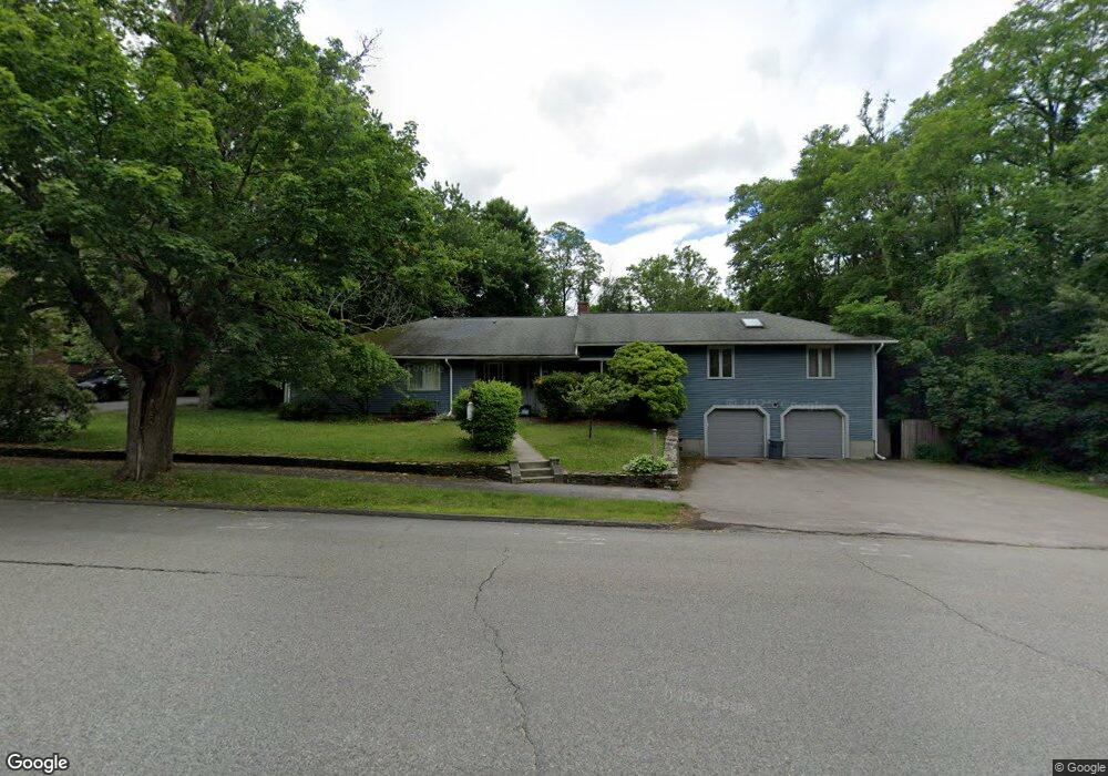
21 Randolph Rd Worcester, MA 01606
North Lincoln Street NeighborhoodEstimated Value: $912,341
3
Beds
2
Baths
2,975
Sq Ft
$307/Sq Ft
Est. Value
About This Home
This home is located at 21 Randolph Rd, Worcester, MA 01606 and is currently estimated at $912,341, approximately $306 per square foot. 21 Randolph Rd is a home located in Worcester County with nearby schools including Jacob Hiatt Magnet School, Chandler Magnet, and Wawecus Road School.
Ownership History
Date
Name
Owned For
Owner Type
Purchase Details
Closed on
Dec 30, 2023
Sold by
Doyle Lorraine E and Doyle William J
Bought by
Doyle Int and Doyle D
Current Estimated Value
Purchase Details
Closed on
Oct 31, 1989
Sold by
Ohara Maraget
Bought by
Doyle William
Home Financials for this Owner
Home Financials are based on the most recent Mortgage that was taken out on this home.
Original Mortgage
$176,000
Interest Rate
9.94%
Mortgage Type
Commercial
Create a Home Valuation Report for This Property
The Home Valuation Report is an in-depth analysis detailing your home's value as well as a comparison with similar homes in the area
Home Values in the Area
Average Home Value in this Area
Purchase History
| Date | Buyer | Sale Price | Title Company |
|---|---|---|---|
| Doyle Int | -- | None Available | |
| Doyle William | $216,000 | -- | |
| Doyle William | $216,000 | -- |
Source: Public Records
Mortgage History
| Date | Status | Borrower | Loan Amount |
|---|---|---|---|
| Previous Owner | Doyle William | $200,430 | |
| Previous Owner | Doyle William | $176,000 |
Source: Public Records
Tax History
| Year | Tax Paid | Tax Assessment Tax Assessment Total Assessment is a certain percentage of the fair market value that is determined by local assessors to be the total taxable value of land and additions on the property. | Land | Improvement |
|---|---|---|---|---|
| 2025 | $6,586 | $499,300 | $119,200 | $380,100 |
| 2024 | -- | $499,300 | $119,200 | $380,100 |
| 2023 | $0 | $414,600 | $59,100 | $355,500 |
| 2022 | $0 | $324,000 | $47,300 | $276,700 |
| 2021 | $0 | $205,100 | $37,800 | $167,300 |
| 2020 | $0 | $202,300 | $35,000 | $167,300 |
| 2019 | $0 | $206,200 | $38,900 | $167,300 |
| 2018 | $0 | $201,100 | $38,900 | $162,200 |
| 2017 | $0 | $201,100 | $38,900 | $162,200 |
| 2016 | -- | $199,500 | $50,100 | $149,400 |
| 2015 | -- | $199,500 | $50,100 | $149,400 |
| 2014 | $4,621 | $199,500 | $50,100 | $149,400 |
Source: Public Records
Map
Nearby Homes
- 15 Ericsson St
- 30 Melrose St
- 45 Goldthwaite Rd
- 169 Whitmarsh Ave
- 44 Boardman St
- 39 Whitmarsh Ave
- 31 Boardman St
- 2 Selden St
- 33 Denmark St
- 323 Burncoat St
- 27 Harlow St
- 3205 Halcyon Dr Unit 3205
- 25 Mckinley Rd
- 331 Burncoat St
- 58 Osceola Ave
- 20B Edgeworth St
- 6 Roald St
- 66 Eunice Ave
- 23 Dryden St
- 74 Green Hill Pkwy
- 17 Randolph Rd
- 25 Randolph Rd
- 29 Randolph Rd
- 1 Thornton Rd
- 15 Randolph Rd
- 14 Randolph Rd
- 30 Randolph Rd
- 2 Thornton Rd
- 2 Thornton Rd
- 2 Thornton Rd Unit D
- 3 Thornton Rd
- 134 Burncoat St
- 4 Thornton Rd
- 7 Thornton Rd
- 38 Randolph Rd
- 130 Burncoat St
- 10 Thornton Rd
- 128 Burncoat St
- 150 Burncoat St
- 11 Thornton Rd
Your Personal Tour Guide
Ask me questions while you tour the home.