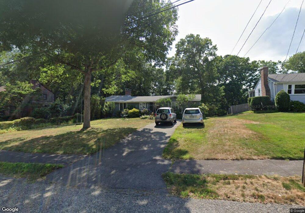
21 Retrop Rd Natick, MA 01760
Estimated Value: $873,378 - $990,000
3
Beds
2
Baths
999,999
Sq Ft
$1/Sq Ft
Est. Value
About This Home
This home is located at 21 Retrop Rd, Natick, MA 01760 and is currently estimated at $921,845, approximately $0 per square foot. 21 Retrop Rd is a home located in Middlesex County with nearby schools including Natick High School, Lilja Elementary School, and Wilson Middle School.
Ownership History
Date
Name
Owned For
Owner Type
Purchase Details
Closed on
Jun 16, 2003
Sold by
Tutuny Gregory W and Tutuny Alison C
Bought by
Chalmers Greg and Chalmers Yvonne
Current Estimated Value
Home Financials for this Owner
Home Financials are based on the most recent Mortgage that was taken out on this home.
Original Mortgage
$322,700
Interest Rate
5.77%
Mortgage Type
Purchase Money Mortgage
Purchase Details
Closed on
Jan 31, 1994
Sold by
Bloomfield Stanley R and Bloomfield Georgene P
Bought by
Tutuny Gregory W and Tutuny Alison C
Create a Home Valuation Report for This Property
The Home Valuation Report is an in-depth analysis detailing your home's value as well as a comparison with similar homes in the area
Home Values in the Area
Average Home Value in this Area
Purchase History
We collect this data history from publicly available records. To have your information removed, we recommend requesting removal directly through your county’s website.
| Date | Buyer | Sale Price | Title Company |
|---|---|---|---|
| Chalmers Greg | $421,500 | -- | |
| Tutuny Gregory W | $185,000 | -- |
Source: Public Records
Mortgage History
We collect this data history from publicly available records. To have your information removed, we recommend requesting removal directly through your county’s website.
| Date | Status | Borrower | Loan Amount |
|---|---|---|---|
| Open | Tutuny Gregory W | $295,000 | |
| Closed | Chalmers Greg | $322,700 | |
| Previous Owner | Tutuny Gregory W | $213,000 |
Source: Public Records
Tax History
| Year | Tax Paid | Tax Assessment Tax Assessment Total Assessment is a certain percentage of the fair market value that is determined by local assessors to be the total taxable value of land and additions on the property. | Land | Improvement |
|---|---|---|---|---|
| 2025 | $8,390 | $701,500 | $447,100 | $254,400 |
| 2024 | $8,076 | $658,700 | $420,700 | $238,000 |
| 2023 | $8,058 | $637,500 | $402,900 | $234,600 |
| 2022 | $7,828 | $586,800 | $364,500 | $222,300 |
| 2021 | $8,297 | $549,800 | $343,700 | $206,100 |
| 2020 | $7,270 | $534,200 | $328,100 | $206,100 |
| 2019 | $8,133 | $534,200 | $328,100 | $206,100 |
| 2018 | $6,371 | $488,200 | $312,400 | $175,800 |
| 2017 | $7,029 | $419,900 | $280,500 | $139,400 |
| 2016 | $5,477 | $403,600 | $265,500 | $138,100 |
| 2015 | $5,426 | $392,600 | $265,500 | $127,100 |
Source: Public Records
Map
Nearby Homes
- 1 Woronoco Dr
- 93 E Central St Unit 10
- 30 Oakridge Ave
- 118 North Ave Unit 118
- 7 Westview Ave
- 26 Sherman St
- 3 Wilson St Unit 3B
- 196 Pond Rd
- 200 Pond Rd
- 169 Woodland St
- 26 Oak St
- 52 Washington St
- 70 Washington St
- 45 Summer St
- 34 N Main St Unit 3
- 7 Cross St
- 49 Summer St
- 29 Pearl St
- 21 Eliot St
- 7 Woodleigh Rd
Your Personal Tour Guide
Ask me questions while you tour the home.