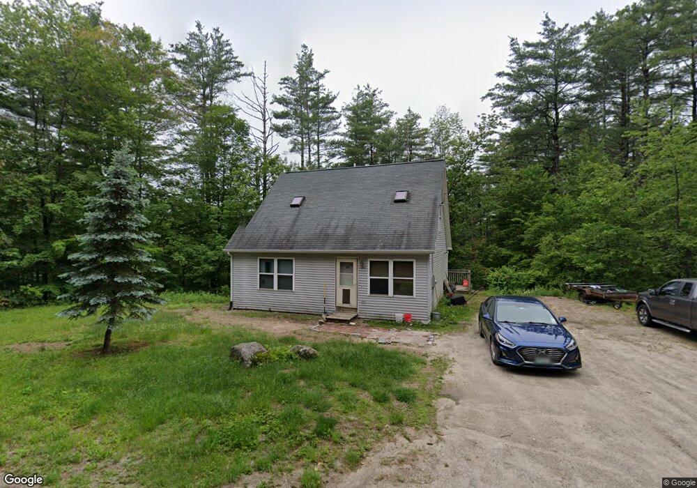
21 Ridge Rd Newbury, NH 03255
Estimated Value: $346,000 - $417,000
3
Beds
2
Baths
1,444
Sq Ft
$264/Sq Ft
Est. Value
About This Home
This home is located at 21 Ridge Rd, Newbury, NH 03255 and is currently estimated at $380,725, approximately $263 per square foot. 21 Ridge Rd is a home located in Merrimack County with nearby schools including Kearsarge Regional Elementary School at Bradford, Kearsarge Regional Middle School, and Kearsarge Regional High School.
Ownership History
Date
Name
Owned For
Owner Type
Purchase Details
Closed on
Jun 30, 2003
Sold by
Sailer Michael and Sailer Pipere
Bought by
Markarian Sharon and Markarian Adam
Current Estimated Value
Home Financials for this Owner
Home Financials are based on the most recent Mortgage that was taken out on this home.
Original Mortgage
$148,000
Outstanding Balance
$64,201
Interest Rate
5.53%
Mortgage Type
Purchase Money Mortgage
Estimated Equity
$316,524
Create a Home Valuation Report for This Property
The Home Valuation Report is an in-depth analysis detailing your home's value as well as a comparison with similar homes in the area
Home Values in the Area
Average Home Value in this Area
Purchase History
| Date | Buyer | Sale Price | Title Company |
|---|---|---|---|
| Markarian Sharon | $30,000 | -- |
Source: Public Records
Mortgage History
| Date | Status | Borrower | Loan Amount |
|---|---|---|---|
| Open | Markarian Sharon | $148,000 |
Source: Public Records
Tax History Compared to Growth
Tax History
| Year | Tax Paid | Tax Assessment Tax Assessment Total Assessment is a certain percentage of the fair market value that is determined by local assessors to be the total taxable value of land and additions on the property. | Land | Improvement |
|---|---|---|---|---|
| 2024 | $3,047 | $233,500 | $71,800 | $161,700 |
| 2023 | $3,047 | $233,500 | $71,800 | $161,700 |
| 2022 | $2,657 | $233,500 | $71,800 | $161,700 |
| 2021 | $2,657 | $233,500 | $71,800 | $161,700 |
| 2020 | $2,965 | $179,500 | $52,500 | $127,000 |
| 2019 | $2,850 | $179,500 | $52,500 | $127,000 |
| 2018 | $2,782 | $179,500 | $52,500 | $127,000 |
| 2017 | $2,820 | $179,500 | $52,500 | $127,000 |
| 2016 | $2,881 | $179,500 | $52,500 | $127,000 |
| 2015 | $2,999 | $184,200 | $47,300 | $136,900 |
| 2014 | $2,853 | $184,200 | $47,300 | $136,900 |
| 2013 | $2,750 | $184,200 | $47,300 | $136,900 |
Source: Public Records
Map
Nearby Homes
- 108 Circle View Dr
- 200 South Rd
- 6 Chapin Way Unit 6
- 12 Chapin Way Unit Lot 12
- 44 Pleasant View Rd
- 55 Water St
- 00 Brookside Rd Unit 530-317&525-332
- 00 Fairgrounds Rd Unit 5
- 0 Crest Dr Unit 4996159
- 99 Newell Rd
- 5 Greenhouse Ln
- 00 Newbury Rd Unit 764-534
- 17 Jolly Farm Rd
- 000 Route 114 Unit 168
- 2024 Route 114
- 2400 Route 114
- 10 Dodge Hill Rd
- 14 Meetinghouse Hill Rd
- 0 Roby Unit 5036005
- 375 West Rd
- Lot 1 North Ridge Unit 1
- Lot 1 North Ridge
- 1 N Ridge Rd
- 1 Ridge Rd Unit 1
- 1A N Ridge Rd
- 0 Wooddale Cir
- 0 Wooddale Cir Unit 4622870
- 0 S Ridge Rd Unit 4077828
- 0 S Ridge Rd Unit 4919534
- 0 S Ridge Rd Unit lot 7-20 4783149
- 0 S Ridge Rd Unit Lot 20 4813562
- 0 S Ridge Rd Unit Lot 20 4811093
- 0 S Ridge Rd Unit 20 4649341
- 47 Wooddale Cir
- 22 Ridge Rd
- 52 Wooddale Cir
- 38 Ridge Rd
- 8 Birchfield Rd
- 6 Wooddale Cir
- 12 Upper Ridge Rd