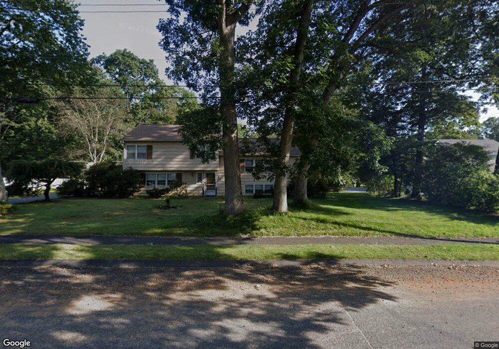
21 Riverbend Dr Natick, MA 01760
Estimated Value: $941,544 - $1,157,000
3
Beds
3
Baths
1,276
Sq Ft
$844/Sq Ft
Est. Value
About This Home
This home is located at 21 Riverbend Dr, Natick, MA 01760 and is currently estimated at $1,077,386, approximately $844 per square foot. 21 Riverbend Dr is a home located in Middlesex County with nearby schools including Natick High School, Memorial Elementary School, and J F Kennedy Middle School.
Ownership History
Date
Name
Owned For
Owner Type
Purchase Details
Closed on
Jun 21, 2004
Sold by
Slater Robert T
Bought by
Reiter Paul F
Current Estimated Value
Home Financials for this Owner
Home Financials are based on the most recent Mortgage that was taken out on this home.
Original Mortgage
$333,700
Outstanding Balance
$164,437
Interest Rate
6.12%
Mortgage Type
Purchase Money Mortgage
Estimated Equity
$912,949
Create a Home Valuation Report for This Property
The Home Valuation Report is an in-depth analysis detailing your home's value as well as a comparison with similar homes in the area
Home Values in the Area
Average Home Value in this Area
Purchase History
| Date | Buyer | Sale Price | Title Company |
|---|---|---|---|
| Reiter Paul F | $525,000 | -- |
Source: Public Records
Mortgage History
| Date | Status | Borrower | Loan Amount |
|---|---|---|---|
| Open | Reiter Paul F | $333,700 |
Source: Public Records
Tax History Compared to Growth
Tax History
| Year | Tax Paid | Tax Assessment Tax Assessment Total Assessment is a certain percentage of the fair market value that is determined by local assessors to be the total taxable value of land and additions on the property. | Land | Improvement |
|---|---|---|---|---|
| 2025 | $9,180 | $767,600 | $517,700 | $249,900 |
| 2024 | $8,885 | $724,700 | $489,100 | $235,600 |
| 2023 | $8,540 | $675,600 | $454,200 | $221,400 |
| 2022 | $8,291 | $621,500 | $408,900 | $212,600 |
| 2021 | $7,995 | $587,400 | $386,500 | $200,900 |
| 2020 | $7,854 | $577,100 | $369,700 | $207,400 |
| 2019 | $7,335 | $577,100 | $369,700 | $207,400 |
| 2018 | $7,174 | $549,700 | $352,900 | $196,800 |
| 2017 | $7,483 | $554,700 | $342,100 | $212,600 |
| 2016 | $7,499 | $552,600 | $342,100 | $210,500 |
| 2015 | $7,218 | $522,300 | $342,100 | $180,200 |
Source: Public Records
Map
Nearby Homes
- 39 Davis Brook Dr
- 94 Woodland St
- 21 Harvest Moon Dr
- 5 Deer Path
- 10 Sundance Way
- 18 Phillips Pond Rd
- 91 Glen St
- 48 Graystone Ln
- 104 Glen St
- 21 Eliot St
- 16 Wayside Rd Unit 14
- 16 Wayside Rd
- 29 Water St
- 15 Wyndemere Ln
- 8 Warren Rd
- 11 Avon St
- 6 Ambler Ct
- 15 Penobscot Rd
- 39 Indian Ridge Rd
- 216-218 S Main St
- 23 Riverbend Dr
- 20 Riverbend Dr
- 19 Riverbend Dr
- 14 Riverbend Dr
- 17 Riverbend Dr
- 25 Riverbend Dr
- 22 Riverbend Dr
- 4 Aqueduct Rd
- 24 Riverbend Dr
- 15 Riverbend Dr
- 6 Aqueduct Rd
- 5 Aqueduct Rd
- 10 Clover Terrace
- 12 Riverbend Dr
- 7 Rockridge Rd
- 8 Aqueduct Rd
- 8 Aqueduct Rd Unit 1
- 13 Riverbend Dr
- 9 Rockridge Rd
- 7 Aqueduct Rd