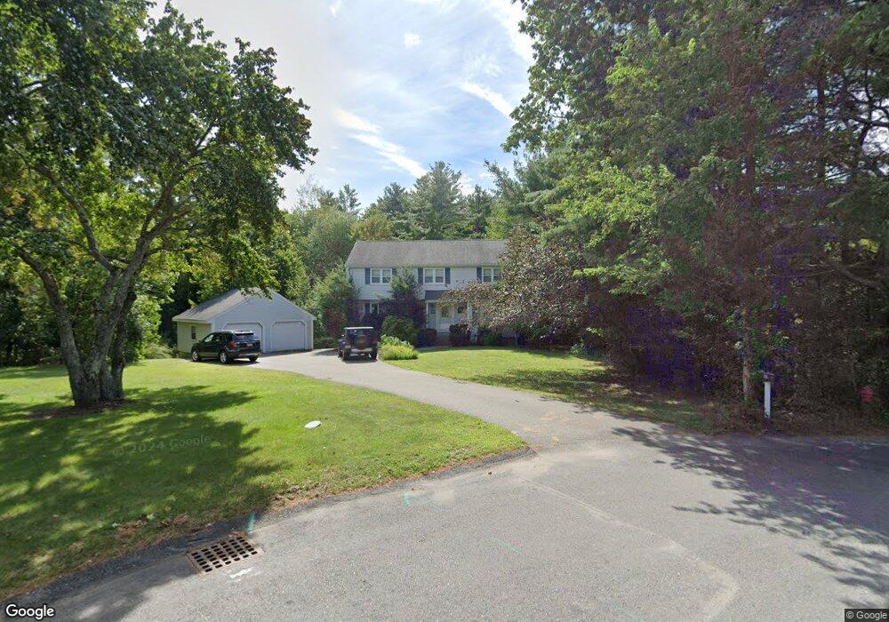
21 Riverview Rd Canton, MA 02021
Estimated Value: $857,000 - $1,116,000
4
Beds
3
Baths
2,034
Sq Ft
$468/Sq Ft
Est. Value
About This Home
This home is located at 21 Riverview Rd, Canton, MA 02021 and is currently estimated at $951,337, approximately $467 per square foot. 21 Riverview Rd is a home located in Norfolk County with nearby schools including Canton High School and St. John the Evangelist School.
Ownership History
Date
Name
Owned For
Owner Type
Purchase Details
Closed on
Oct 15, 1998
Sold by
Cattaneo Raymond P and Cattaneo Mary E
Bought by
Brooks Amy R and Brooks Richard A
Current Estimated Value
Home Financials for this Owner
Home Financials are based on the most recent Mortgage that was taken out on this home.
Original Mortgage
$204,000
Outstanding Balance
$44,278
Interest Rate
6.8%
Mortgage Type
Purchase Money Mortgage
Estimated Equity
$907,059
Purchase Details
Closed on
Jun 9, 1989
Sold by
Brennan Robert D
Bought by
Cattaneo Raymond P
Create a Home Valuation Report for This Property
The Home Valuation Report is an in-depth analysis detailing your home's value as well as a comparison with similar homes in the area
Home Values in the Area
Average Home Value in this Area
Purchase History
| Date | Buyer | Sale Price | Title Company |
|---|---|---|---|
| Brooks Amy R | $309,000 | -- | |
| Cattaneo Raymond P | $240,000 | -- |
Source: Public Records
Mortgage History
| Date | Status | Borrower | Loan Amount |
|---|---|---|---|
| Open | Cattaneo Raymond P | $204,000 | |
| Previous Owner | Cattaneo Raymond P | $253,950 |
Source: Public Records
Tax History
| Year | Tax Paid | Tax Assessment Tax Assessment Total Assessment is a certain percentage of the fair market value that is determined by local assessors to be the total taxable value of land and additions on the property. | Land | Improvement |
|---|---|---|---|---|
| 2025 | $7,673 | $775,800 | $332,700 | $443,100 |
| 2024 | $7,442 | $746,400 | $320,000 | $426,400 |
| 2023 | $7,283 | $689,000 | $320,000 | $369,000 |
| 2022 | $7,002 | $616,900 | $304,700 | $312,200 |
| 2021 | $6,880 | $563,900 | $277,000 | $286,900 |
| 2020 | $6,579 | $537,900 | $263,800 | $274,100 |
| 2019 | $6,454 | $520,500 | $239,800 | $280,700 |
| 2018 | $6,267 | $504,600 | $230,600 | $274,000 |
| 2017 | $6,332 | $495,100 | $226,100 | $269,000 |
| 2016 | $6,180 | $483,200 | $220,500 | $262,700 |
| 2015 | $5,987 | $467,000 | $214,200 | $252,800 |
Source: Public Records
Map
Nearby Homes
- 59 Walpole St Unit 210
- 354 Neponset St Unit M
- 84 Walpole St Unit 1C
- 346 Neponset St Unit F
- 360 Neponset St Unit 702
- 399 Neponset St Unit 106
- 399 Neponset St Unit 408
- 399 Neponset St Unit 411
- 399 Neponset St Unit 309
- 399 Neponset St Unit 103
- 399 Neponset St Unit 105
- 399 Neponset St Unit 405
- 399 Neponset St Unit 301
- 399 Neponset St Unit 101
- 399 Neponset St Unit 310
- 399 Neponset St Unit 206
- 399 Neponset St Unit 202
- 399 Neponset St Unit 211
- 399 Neponset St Unit 209
- 399 Neponset St Unit 412
- 17 Riverview Rd
- 14 Riverview Rd
- 9 Riverview Rd
- 11 Riverview Rd
- 4 Riverview Rd
- 6 Riverview Rd
- 10 Riverview Rd
- 7 Riverview Rd
- 2 Riverview Rd
- 10 Postfield Ln
- 3 Riverview Rd
- 5 Riverview Rd
- 2 Sunnyside Ave
- 4 Sunnyside Ave
- 6 Sunnyside Ave
- 72 Fuller St
- 5 Postfield Ln
- 5 Postfield Ln Unit 1
- 6 Postfield Ln
- 1 Riverview Rd
Your Personal Tour Guide
Ask me questions while you tour the home.