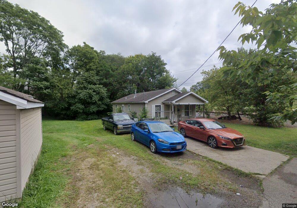
21 Rooks Ln Franklin, OH 45005
Estimated Value: $134,000 - $153,000
3
Beds
1
Bath
1,104
Sq Ft
$130/Sq Ft
Est. Value
About This Home
This home is located at 21 Rooks Ln, Franklin, OH 45005 and is currently estimated at $143,207, approximately $129 per square foot. 21 Rooks Ln is a home located in Warren County with nearby schools including Franklin High School.
Ownership History
Date
Name
Owned For
Owner Type
Purchase Details
Closed on
Sep 18, 1997
Sold by
Mays Glenda J
Bought by
Middletown Habitat For Humanity Inc
Current Estimated Value
Purchase Details
Closed on
Apr 14, 1994
Sold by
Kirby Cloie and Kirby Cloie
Bought by
Lindon and Lindon Connie
Purchase Details
Closed on
Aug 28, 1979
Sold by
Jack Jack and Jack Mary G
Purchase Details
Closed on
Aug 2, 1979
Sold by
Carlson Carlson and Carlson William O
Purchase Details
Closed on
May 24, 1979
Sold by
Fields Steve and Fields Ahalia
Purchase Details
Closed on
Dec 19, 1978
Sold by
Carlson and Carlson O
Create a Home Valuation Report for This Property
The Home Valuation Report is an in-depth analysis detailing your home's value as well as a comparison with similar homes in the area
Home Values in the Area
Average Home Value in this Area
Purchase History
| Date | Buyer | Sale Price | Title Company |
|---|---|---|---|
| Middletown Habitat For Humanity Inc | $5,000 | -- | |
| Lindon | $2,100 | -- | |
| -- | $8,500 | -- | |
| -- | $6,500 | -- | |
| -- | -- | -- | |
| -- | $7,500 | -- |
Source: Public Records
Tax History Compared to Growth
Tax History
| Year | Tax Paid | Tax Assessment Tax Assessment Total Assessment is a certain percentage of the fair market value that is determined by local assessors to be the total taxable value of land and additions on the property. | Land | Improvement |
|---|---|---|---|---|
| 2024 | $1,862 | $37,830 | $5,100 | $32,730 |
| 2023 | $1,603 | $29,767 | $2,887 | $26,880 |
| 2022 | $1,573 | $29,768 | $2,888 | $26,880 |
| 2021 | $1,493 | $29,768 | $2,888 | $26,880 |
| 2020 | $1,348 | $23,625 | $2,293 | $21,333 |
| 2019 | $1,229 | $23,625 | $2,293 | $21,333 |
| 2018 | $1,172 | $23,625 | $2,293 | $21,333 |
| 2017 | $1,269 | $22,288 | $2,202 | $20,087 |
| 2016 | $1,292 | $22,288 | $2,202 | $20,087 |
| 2015 | $1,292 | $22,288 | $2,202 | $20,087 |
| 2014 | $1,324 | $22,290 | $2,200 | $20,090 |
| 2013 | $1,088 | $25,790 | $2,550 | $23,240 |
Source: Public Records
Map
Nearby Homes
- 820 S River St
- 1010 S Main St
- 1007 S River St
- 235 S Main St
- 233 S Main St
- 1200 Riley Blvd
- 631 S River St
- 627 S River St
- 521 S Main St
- 519 Anderson St
- 0 E 4th St
- 121 E 5th St
- 441 Sunnybrook Dr
- 0 Kathy Ln Unit 1834240
- 0 Kathy Ln Unit 930066
- 410 Park Ave
- 509 Forest Ave
- 511 Forest Ave
- 0 Oxford Rd
- 388 Thomas Dr