21 Salisbury Rd Unit U56 Nashua, NH 03064
Northeast Nashua NeighborhoodEstimated Value: $470,643 - $504,000
3
Beds
2
Baths
1,523
Sq Ft
$318/Sq Ft
Est. Value
About This Home
This home is located at 21 Salisbury Rd Unit U56, Nashua, NH 03064 and is currently estimated at $483,911, approximately $317 per square foot. 21 Salisbury Rd Unit U56 is a home located in Hillsborough County with nearby schools including Charlotte Ave Elementary School, Pennichuck Middle School, and Nashua High School North.
Ownership History
Date
Name
Owned For
Owner Type
Purchase Details
Closed on
Jun 30, 2000
Sold by
Ford Dennis and Ford Kathleen
Bought by
Fitzpatrick Kathleen
Current Estimated Value
Home Financials for this Owner
Home Financials are based on the most recent Mortgage that was taken out on this home.
Original Mortgage
$127,000
Outstanding Balance
$45,952
Interest Rate
8.59%
Estimated Equity
$437,959
Create a Home Valuation Report for This Property
The Home Valuation Report is an in-depth analysis detailing your home's value as well as a comparison with similar homes in the area
Home Values in the Area
Average Home Value in this Area
Purchase History
| Date | Buyer | Sale Price | Title Company |
|---|---|---|---|
| Fitzpatrick Kathleen | $152,500 | -- |
Source: Public Records
Mortgage History
| Date | Status | Borrower | Loan Amount |
|---|---|---|---|
| Open | Fitzpatrick Kathleen | $127,000 |
Source: Public Records
Tax History Compared to Growth
Tax History
| Year | Tax Paid | Tax Assessment Tax Assessment Total Assessment is a certain percentage of the fair market value that is determined by local assessors to be the total taxable value of land and additions on the property. | Land | Improvement |
|---|---|---|---|---|
| 2024 | $6,535 | $411,000 | $0 | $411,000 |
| 2023 | $6,319 | $346,600 | $0 | $346,600 |
| 2022 | $6,263 | $346,600 | $0 | $346,600 |
| 2021 | $5,937 | $255,700 | $0 | $255,700 |
| 2020 | $5,781 | $255,700 | $0 | $255,700 |
| 2019 | $5,564 | $255,700 | $0 | $255,700 |
| 2018 | $5,423 | $255,700 | $0 | $255,700 |
| 2017 | $5,313 | $206,000 | $0 | $206,000 |
| 2016 | $5,164 | $206,000 | $0 | $206,000 |
| 2015 | $5,053 | $206,000 | $0 | $206,000 |
| 2014 | $4,954 | $206,000 | $0 | $206,000 |
Source: Public Records
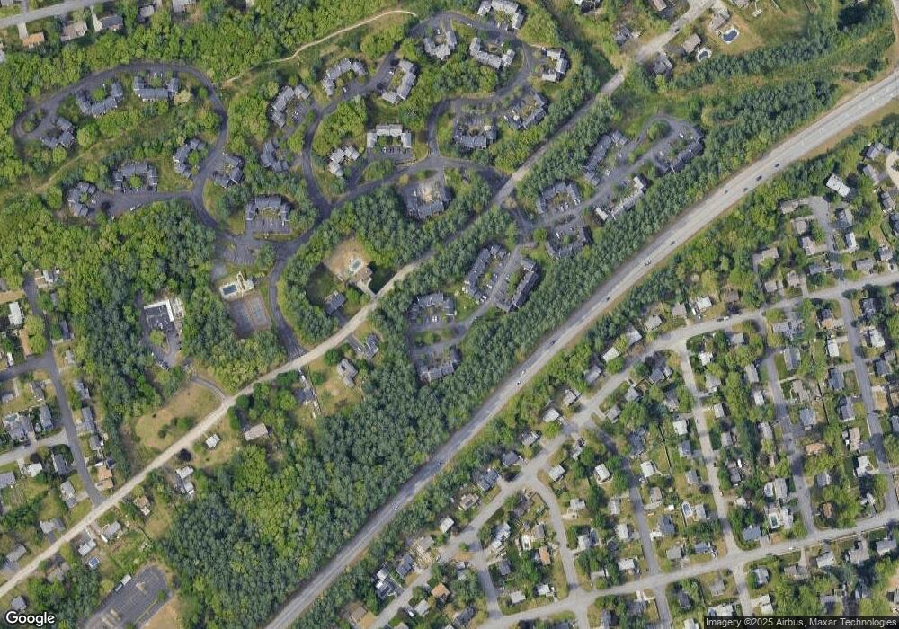
Map
Nearby Homes
- 33 Ferry Rd
- 30 Burgess St
- 17 Danbury Rd
- 31 Ashland St
- 3 Wright Rd
- 74 Profile Cir
- 3 Opal Way Unit 3
- 1 Opal Way Unit 1
- 2 Opal Way Unit 2
- 12 Juliana Ave Unit 14
- 31 Juliana Ave
- 31 Juliana Ave Unit 4
- 123 Cannongate III
- 11 Juliana Ave Unit 52
- 11 Amherst Terrace
- 19 Bartlett Ave
- 44 Broad St
- 9 Elystan Cir
- 4 Reservoir St
- 113 Concord St
- 25 Salisbury Rd Unit U54
- 27 Salisbury Rd Unit U53
- 29 Salisbury Rd Unit U52
- 19 Salisbury Rd Unit U57
- 17 Salisbury Rd Unit U58
- 31 Salisbury Rd Unit U51
- 15 Salisbury Rd Unit U59
- 11 Salisbury Rd Unit U60
- 9 Salisbury Rd Unit U61
- 18 Salisbury Rd Unit U45
- 16 Salisbury Rd Unit U44
- 7 Salisbury Rd Unit U62
- 5 Salisbury Rd Unit U63
- 20 Salisbury Rd Unit U46
- 22 Salisbury Rd Unit U47
- 24 Salisbury Rd Unit U48
- 28 Salisbury Rd Unit U50
- 3 Salisbury Rd Unit U64
- 26 Salisbury Rd Unit U49
- 12 Salisbury Rd Unit U42