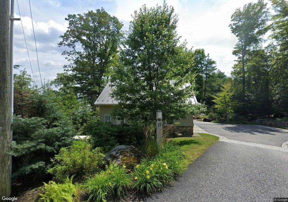
21 Scotts Cove Rd Sunapee, NH 03782
Estimated Value: $993,000 - $6,288,000
3
Beds
1
Bath
2,062
Sq Ft
$2,141/Sq Ft
Est. Value
About This Home
This home is located at 21 Scotts Cove Rd, Sunapee, NH 03782 and is currently estimated at $4,414,371, approximately $2,140 per square foot. 21 Scotts Cove Rd is a home located in Sullivan County with nearby schools including Sunapee Central School, Sunapee Middle High School, and Sunapee Senior High School.
Ownership History
Date
Name
Owned For
Owner Type
Purchase Details
Closed on
Aug 9, 2004
Sold by
Sunape Barbara M Walsh
Bought by
Needham Robert T and Needham Laurie A
Current Estimated Value
Home Financials for this Owner
Home Financials are based on the most recent Mortgage that was taken out on this home.
Original Mortgage
$607,750
Interest Rate
6.2%
Mortgage Type
Purchase Money Mortgage
Create a Home Valuation Report for This Property
The Home Valuation Report is an in-depth analysis detailing your home's value as well as a comparison with similar homes in the area
Home Values in the Area
Average Home Value in this Area
Purchase History
| Date | Buyer | Sale Price | Title Company |
|---|---|---|---|
| Needham Robert T | $935,000 | -- |
Source: Public Records
Mortgage History
| Date | Status | Borrower | Loan Amount |
|---|---|---|---|
| Open | Needham Robert T | $1,000,000 | |
| Closed | Needham Robert T | $607,750 |
Source: Public Records
Tax History Compared to Growth
Tax History
| Year | Tax Paid | Tax Assessment Tax Assessment Total Assessment is a certain percentage of the fair market value that is determined by local assessors to be the total taxable value of land and additions on the property. | Land | Improvement |
|---|---|---|---|---|
| 2024 | $32,911 | $3,287,800 | $1,652,000 | $1,635,800 |
| 2023 | $49,459 | $5,109,400 | $2,858,200 | $2,251,200 |
| 2022 | $45,996 | $3,287,800 | $1,652,000 | $1,635,800 |
| 2021 | $44,813 | $3,287,800 | $1,652,000 | $1,635,800 |
| 2020 | $45,503 | $3,287,800 | $1,652,000 | $1,635,800 |
| 2019 | $47,119 | $2,957,900 | $1,251,600 | $1,706,300 |
| 2018 | $46,055 | $2,957,900 | $1,251,600 | $1,706,300 |
| 2017 | $45,463 | $2,957,900 | $1,251,600 | $1,706,300 |
| 2016 | $44,457 | $2,957,900 | $1,251,600 | $1,706,300 |
Source: Public Records
Map
Nearby Homes
- 0 Woodland Rd
- 76 Tonset Slope
- 75 Westwood Rd
- 157 Pilothouse Rd
- 78 Garnet St
- 1100 Lake Ave
- 770 Jobs Creek Rd
- 155B Avery Rd
- 1376 New Hampshire 11
- 253 Lake Ave
- 0 Route 103a Map 91 Lot 37 38 Unit 37 & 38 5058839
- 1024 Lake
- 14 Lake Ave Unit 4
- 14 Lake Ave Unit 10
- 1043 Main St
- 1279 Route 11
- 55 High St
- 25 Birch Point Ln
- 26 Otterville Rd
- 166 Burkehaven Hill Rd
- 15 Scotts Cove Rd
- 23 Scotts Cove Rd
- 312 Jobs Creek Rd
- 7 Scotts Cove Rd
- 15 Nilsen Ln
- 64 Fernwood Point Rd
- 29 Nilsen Ln
- 46 Westwood Rd
- 4 Fernwood South Rd
- 31 Nilsen Ln
- 10 Fernwood South Rd
- 49 Fernwood Point Rd
- 16 Fernwood S
- 8 Nilsen Ln
- 39 Nilsen Ln
- 16 Fernwood South Rd
- 63 Fernwood Point Rd
- 20 Fernwood South Rd
- 42 Nilsen Ln
- 73 Fernwood Point Rd