21 Sea Crest Rd Orleans, MA 2653
Estimated Value: $2,940,000 - $6,236,000
About This Home
This home is located at 21 Sea Crest Rd, Orleans, MA 2653 and is currently estimated at $4,668,531, approximately $611 per square foot. 21 Sea Crest Rd is a home located in Barnstable County with nearby schools including Orleans Elementary School, Nauset Regional Middle School, and Nauset Regional High School.
Ownership History
We collect this data history from publicly available records. To have your information removed, we recommend requesting removal directly through your county’s website.
Purchase Details
Purchase Details
Home Values in the Area
Average Home Value in this Area
Purchase History
We collect this data history from publicly available records. To have your information removed, we recommend requesting removal directly through your county’s website.
| Date | Buyer | Sale Price | Title Company |
|---|---|---|---|
| -- | -- | ||
| -- | -- |
Tax History
We collect this data history from publicly available records. To have your information removed, we recommend requesting removal directly through your county’s website.
| Year | Tax Paid | Tax Assessment Tax Assessment Total Assessment is a certain percentage of the fair market value that is determined by local assessors to be the total taxable value of land and additions on the property. | Land | Improvement |
|---|---|---|---|---|
| 2025 | $29,841 | $4,782,200 | $1,340,000 | $3,442,200 |
| 2024 | $26,101 | $4,071,900 | $1,313,500 | $2,758,400 |
| 2023 | $23,583 | $3,785,400 | $1,216,400 | $2,569,000 |
| 2022 | $21,446 | $2,978,600 | $1,009,000 | $1,969,600 |
| 2021 | $20,306 | $2,590,100 | $1,000,200 | $1,589,900 |
| 2020 | $19,113 | $2,528,200 | $1,000,200 | $1,528,000 |
| 2019 | $18,416 | $2,488,700 | $972,300 | $1,516,400 |
| 2018 | $15,720 | $2,371,100 | $894,100 | $1,477,000 |
| 2017 | $14,883 | $2,351,200 | $894,100 | $1,457,100 |
| 2016 | $15,445 | $2,390,800 | $945,800 | $1,445,000 |
| 2015 | $15,178 | $2,364,100 | $927,200 | $1,436,900 |
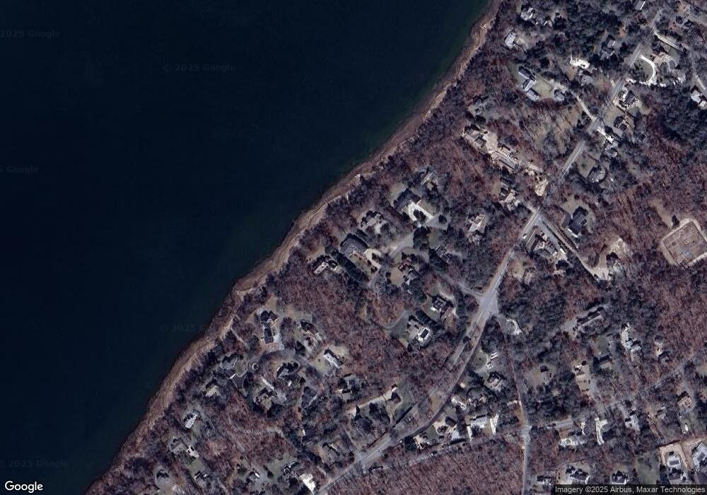
Map
- 27 S Orleans Rd
- 21 S Orleans Rd
- 189 Main St Unit 189
- 51 Chickadee Ln
- 216 Main St
- 10 Hathorne Ln
- 88 Massachusetts 6a
- 4 Center Place Unit 11
- 26 Locust Rd
- 66 Tides End Ln
- 24 Old Colony Way Unit 19
- 7 Little Cove Ln
- 47 Daley Terrace
- 36 Old Colony Way Unit 3022
- 42 Old Colony Way Unit 15
- 42 Old Colony Way Unit 21
- 205 S Eastham St
- 40 Kittiwake Ln
- 20 Kittiwake Ln
- 58 Keziahs Ln
Ask me questions while you tour the home.