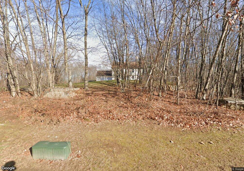
21 Sean Cir Coventry, CT 06238
Estimated Value: $496,000 - $587,000
3
Beds
2
Baths
2,320
Sq Ft
$229/Sq Ft
Est. Value
About This Home
This home is located at 21 Sean Cir, Coventry, CT 06238 and is currently estimated at $531,601, approximately $229 per square foot. 21 Sean Cir is a home located in Tolland County with nearby schools including George Hersey Robertson School, Coventry Grammar School, and Capt. Nathan Hale School.
Ownership History
Date
Name
Owned For
Owner Type
Purchase Details
Closed on
Jul 7, 1998
Sold by
Sb Blanchard Inc
Bought by
Herman Andrzej and Herman Barbara
Current Estimated Value
Home Financials for this Owner
Home Financials are based on the most recent Mortgage that was taken out on this home.
Original Mortgage
$149,000
Interest Rate
7.04%
Mortgage Type
Unknown
Create a Home Valuation Report for This Property
The Home Valuation Report is an in-depth analysis detailing your home's value as well as a comparison with similar homes in the area
Home Values in the Area
Average Home Value in this Area
Purchase History
| Date | Buyer | Sale Price | Title Company |
|---|---|---|---|
| Herman Andrzej | $193,000 | -- | |
| Herman Andrzej | $193,000 | -- |
Source: Public Records
Mortgage History
| Date | Status | Borrower | Loan Amount |
|---|---|---|---|
| Closed | Herman Andrzej | $132,500 | |
| Closed | Herman Andrzej | $149,000 |
Source: Public Records
Tax History Compared to Growth
Tax History
| Year | Tax Paid | Tax Assessment Tax Assessment Total Assessment is a certain percentage of the fair market value that is determined by local assessors to be the total taxable value of land and additions on the property. | Land | Improvement |
|---|---|---|---|---|
| 2025 | $7,824 | $329,300 | $74,600 | $254,700 |
| 2024 | $7,142 | $214,400 | $68,400 | $146,000 |
| 2023 | $6,805 | $214,400 | $68,400 | $146,000 |
| 2022 | $6,679 | $214,400 | $68,400 | $146,000 |
| 2021 | $6,679 | $214,400 | $68,400 | $146,000 |
| 2020 | $6,683 | $214,400 | $68,400 | $146,000 |
| 2019 | $6,904 | $214,400 | $68,400 | $146,000 |
| 2018 | $6,492 | $201,600 | $68,400 | $133,200 |
| 2017 | $6,451 | $201,600 | $68,400 | $133,200 |
| 2016 | $6,290 | $201,600 | $68,400 | $133,200 |
| 2015 | $6,290 | $201,600 | $68,400 | $133,200 |
| 2014 | $6,241 | $219,200 | $84,200 | $135,000 |
Source: Public Records
Map
Nearby Homes
- 183 Root Rd
- 94 Stonehouse Rd Unit 10
- 198 Forest Rd
- 152 Cheney Ln
- 1358 South St
- 83 Morin Ave
- 31 Wyllys Farm Rd
- 0 Daly Rd Unit 24146464
- 43 Wyllys Farm Rd
- 37 Wyllys Farm Rd
- 0 South St Unit 24134981
- 103 S Street Extension
- 30 Knollwood Dr
- 48 Lakeview Dr
- 106 S Street Extension
- 35 Wyllys Farm Rd
- 27 Fox Trail
- 30 Wyllys Farm Rd
- 360 Sam Green Rd
- 457 Stafford Rd