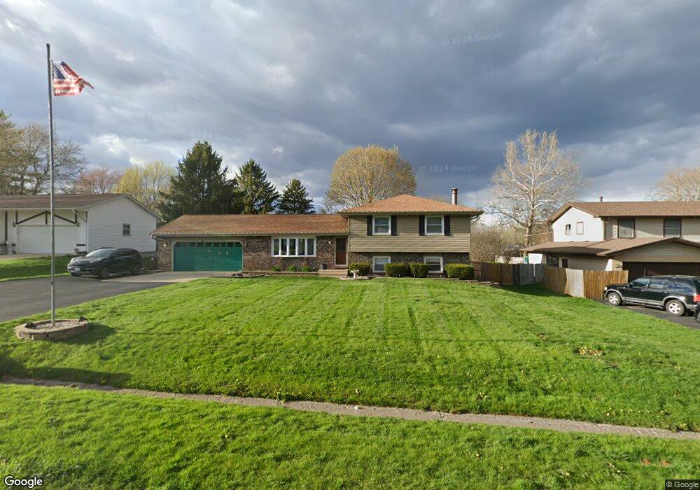
21 Shore Ct Oswego, IL 60543
Northwest Oswego NeighborhoodEstimated Value: $329,000 - $361,308
3
Beds
3
Baths
1,144
Sq Ft
$302/Sq Ft
Est. Value
About This Home
This home is located at 21 Shore Ct, Oswego, IL 60543 and is currently estimated at $345,827, approximately $302 per square foot. 21 Shore Ct is a home located in Kendall County with nearby schools including Fox Chase Elementary School, Traughber Junior High School, and Oswego High School.
Ownership History
Date
Name
Owned For
Owner Type
Purchase Details
Closed on
Sep 21, 2021
Sold by
Palfalvi Melissa
Bought by
Parpart Daniel
Current Estimated Value
Home Financials for this Owner
Home Financials are based on the most recent Mortgage that was taken out on this home.
Original Mortgage
$240,000
Outstanding Balance
$218,640
Interest Rate
2.88%
Mortgage Type
New Conventional
Estimated Equity
$127,187
Purchase Details
Closed on
Apr 26, 2010
Sold by
Montanez Julio C and Montanez Marysol
Bought by
Palfalvi Melissa
Home Financials for this Owner
Home Financials are based on the most recent Mortgage that was taken out on this home.
Original Mortgage
$191,958
Interest Rate
5.25%
Mortgage Type
FHA
Purchase Details
Closed on
May 1, 1989
Create a Home Valuation Report for This Property
The Home Valuation Report is an in-depth analysis detailing your home's value as well as a comparison with similar homes in the area
Home Values in the Area
Average Home Value in this Area
Purchase History
| Date | Buyer | Sale Price | Title Company |
|---|---|---|---|
| Parpart Daniel | $300,000 | Lakeland Title Services | |
| Palfalvi Melissa | $195,500 | First American Title | |
| -- | $118,800 | -- |
Source: Public Records
Mortgage History
| Date | Status | Borrower | Loan Amount |
|---|---|---|---|
| Open | Parpart Daniel | $240,000 | |
| Previous Owner | Palfalvi Melissa | $191,958 |
Source: Public Records
Tax History Compared to Growth
Tax History
| Year | Tax Paid | Tax Assessment Tax Assessment Total Assessment is a certain percentage of the fair market value that is determined by local assessors to be the total taxable value of land and additions on the property. | Land | Improvement |
|---|---|---|---|---|
| 2024 | $6,957 | $93,885 | $24,189 | $69,696 |
| 2023 | $6,299 | $83,826 | $21,597 | $62,229 |
| 2022 | $6,299 | $76,905 | $19,814 | $57,091 |
| 2021 | $6,065 | $71,874 | $18,518 | $53,356 |
| 2020 | $6,332 | $74,097 | $19,091 | $55,006 |
| 2019 | $6,433 | $74,097 | $19,091 | $55,006 |
| 2018 | $5,736 | $64,798 | $16,695 | $48,103 |
| 2017 | $5,686 | $62,306 | $16,053 | $46,253 |
| 2016 | $5,437 | $59,058 | $15,216 | $43,842 |
| 2015 | $5,346 | $55,715 | $14,355 | $41,360 |
| 2014 | -- | $53,572 | $13,803 | $39,769 |
| 2013 | -- | $54,113 | $13,942 | $40,171 |
Source: Public Records
Map
Nearby Homes
- 7.43 Acres Vacant La State Route 31
- 11-13 W Anchor Rd
- 5.43 B-3 Commercial State Route 31
- 2700 Light Rd Unit 205
- 2100 Light Rd Unit 109
- Parcel 004 & 003 Illinois 25
- 1721 State Route 31
- 3 Scarsdale Rd
- 173 Dolores St
- 102 Mary St
- 23 Old Post Rd
- 133 River Mist Dr Unit 3
- 135 River Mist Dr Unit 2
- 629 Manhattan Cir
- 156 River Mist Dr
- 8 Clay Ct
- 117 Boulder Hill Pass Unit 117
- 47 Old Post Rd
- 409 Fawn Dr
- 466 Greenview Ln