21 Solomon Mountain Rd Clancy, MT 59634
Clancy NeighborhoodEstimated Value: $663,268 - $765,000
4
Beds
3
Baths
2,009
Sq Ft
$349/Sq Ft
Est. Value
About This Home
This home is located at 21 Solomon Mountain Rd, Clancy, MT 59634 and is currently estimated at $700,567, approximately $348 per square foot. 21 Solomon Mountain Rd is a home with nearby schools including Clancy Elementary School, Clancy Junior High School, and Jefferson High School.
Ownership History
Date
Name
Owned For
Owner Type
Purchase Details
Closed on
Jan 15, 2016
Sold by
Asleson Teresa L and Asleson David O
Bought by
Field Dale F and Field Rhonda M
Current Estimated Value
Home Financials for this Owner
Home Financials are based on the most recent Mortgage that was taken out on this home.
Original Mortgage
$356,250
Outstanding Balance
$283,148
Interest Rate
3.94%
Mortgage Type
New Conventional
Estimated Equity
$417,419
Create a Home Valuation Report for This Property
The Home Valuation Report is an in-depth analysis detailing your home's value as well as a comparison with similar homes in the area
Home Values in the Area
Average Home Value in this Area
Purchase History
| Date | Buyer | Sale Price | Title Company |
|---|---|---|---|
| Field Dale F | -- | Rocky Mountain Title & Insur |
Source: Public Records
Mortgage History
| Date | Status | Borrower | Loan Amount |
|---|---|---|---|
| Open | Field Dale F | $356,250 |
Source: Public Records
Tax History
| Year | Tax Paid | Tax Assessment Tax Assessment Total Assessment is a certain percentage of the fair market value that is determined by local assessors to be the total taxable value of land and additions on the property. | Land | Improvement |
|---|---|---|---|---|
| 2025 | $3,292 | $669,500 | $0 | $0 |
| 2024 | $4,172 | $646,800 | $0 | $0 |
| 2023 | $4,054 | $646,800 | $0 | $0 |
| 2022 | $2,992 | $394,900 | $0 | $0 |
| 2021 | $2,706 | $394,900 | $0 | $0 |
| 2020 | $2,946 | $386,500 | $0 | $0 |
| 2019 | $2,896 | $386,500 | $0 | $0 |
| 2018 | $2,565 | $326,200 | $0 | $0 |
| 2017 | $2,134 | $326,200 | $0 | $0 |
| 2016 | $2,695 | $370,300 | $0 | $0 |
| 2015 | $2,523 | $370,300 | $0 | $0 |
| 2014 | $2,588 | $215,021 | $0 | $0 |
Source: Public Records
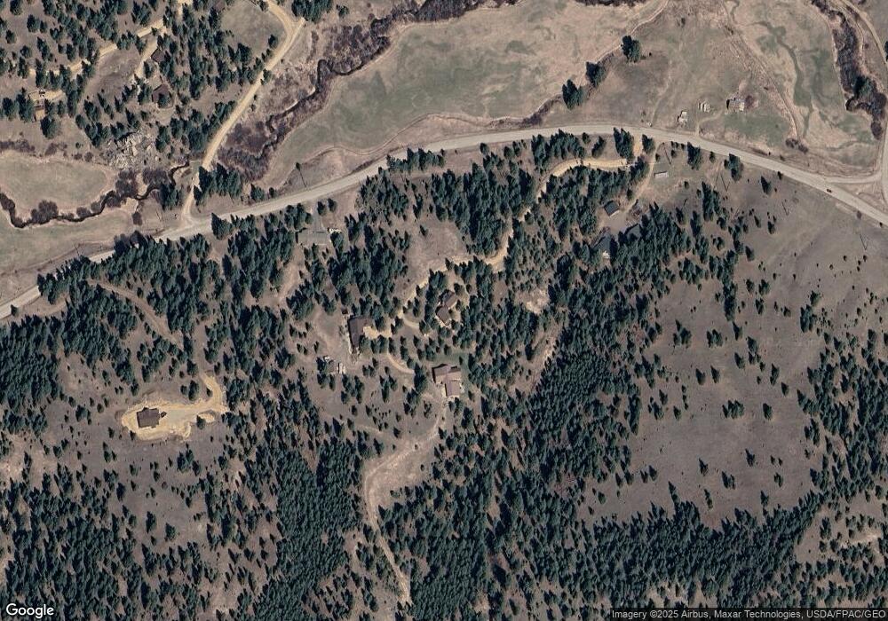
Map
Nearby Homes
- 214 Solomon Mountain Rd
- TBD Meadow Ln
- 12 W Cherry St
- TBD Ram Rock Rd Unit LOT 2A
- TBD Ram Rock Rd Unit LOT 1
- TBD Ram Rock Rd Unit LOT 2
- TBD Ram Rock Rd Unit LOT 3
- 22 Meadow Ln
- 4 Penny Ln
- Tbd Clancy Creek Rd Unit A6
- Tbd Clancy Creek Rd Unit A5
- Tbd Clancy Creek Rd Unit A4
- Tbd Clancy Creek Rd Unit A7
- Tbd Clancy Creek Rd Unit L2
- 10 Pine Ridge Cir
- 100 Old Alhambra Rd
- 114 Old Alhambra Rd
- 3 Antelope Ct
- 3 Bobcat Ct
- 41 Sleepy Hollow Ln
- 211 Solomon Mountain Rd
- 215 Solomon Mountain Rd
- 121 Lump Gulch Rd
- 16 Rocky Mountain Dr
- 9 Ohio Gulch Rd
- 20 Rocky Mountain Dr
- 5 Ohio Gulch Rd
- 24 Rocky Mountain Dr
- 15 Ohio Gulch Rd
- 19 Rocky Mountain Dr
- 4 Wilderness Dr
- 9 Wilderness Dr
- 11 Halford Rd
- 30 Rocky Mountain Dr
- 25 Ohio Gulch Rd
- 6 Ohio Gulch Rd
- 14 Halford Rd
- 16 Wilderness Dr
- 17 Wilderness Dr
- 29 Ohio Gulch Rd
Your Personal Tour Guide
Ask me questions while you tour the home.