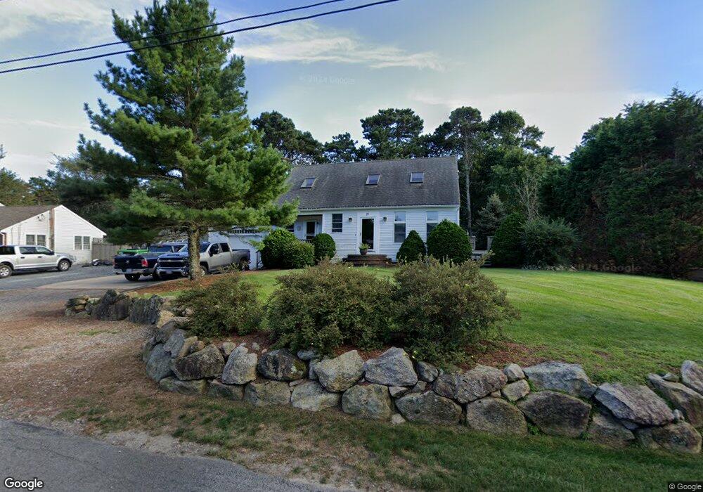
21 Stafford Cir Dennis Port, MA 02639
Dennis Port NeighborhoodEstimated Value: $758,000 - $901,000
3
Beds
3
Baths
1,972
Sq Ft
$415/Sq Ft
Est. Value
About This Home
This home is located at 21 Stafford Cir, Dennis Port, MA 02639 and is currently estimated at $818,403, approximately $415 per square foot. 21 Stafford Cir is a home located in Barnstable County with nearby schools including Dennis-Yarmouth Regional High School and St. Pius X. School.
Ownership History
Date
Name
Owned For
Owner Type
Purchase Details
Closed on
Jun 9, 2022
Sold by
Mullikin Derek W
Bought by
Mullikin Derek W and Mullikin Catherine M
Current Estimated Value
Create a Home Valuation Report for This Property
The Home Valuation Report is an in-depth analysis detailing your home's value as well as a comparison with similar homes in the area
Home Values in the Area
Average Home Value in this Area
Purchase History
| Date | Buyer | Sale Price | Title Company |
|---|---|---|---|
| Mullikin Derek W | -- | None Available |
Source: Public Records
Tax History Compared to Growth
Tax History
| Year | Tax Paid | Tax Assessment Tax Assessment Total Assessment is a certain percentage of the fair market value that is determined by local assessors to be the total taxable value of land and additions on the property. | Land | Improvement |
|---|---|---|---|---|
| 2025 | $3,298 | $761,600 | $151,900 | $609,700 |
| 2024 | $3,239 | $737,800 | $146,100 | $591,700 |
| 2023 | $3,192 | $683,600 | $132,800 | $550,800 |
| 2022 | $3,009 | $537,400 | $119,600 | $417,800 |
| 2021 | $2,911 | $482,700 | $117,300 | $365,400 |
| 2020 | $2,840 | $465,500 | $117,300 | $348,200 |
| 2019 | $2,788 | $451,800 | $138,000 | $313,800 |
| 2018 | $2,604 | $433,900 | $131,300 | $302,600 |
| 2017 | $2,668 | $433,900 | $131,300 | $302,600 |
| 2016 | $2,598 | $397,800 | $142,300 | $255,500 |
| 2015 | $2,352 | $367,500 | $142,300 | $225,200 |
| 2014 | $2,288 | $360,300 | $142,300 | $218,000 |
Source: Public Records
Map
Nearby Homes
- 11 Lane Rd
- 24 Indian Trail
- 9 Country Ln
- 78 Upper County Rd Unit A&B
- 78 Upper County Rd
- 47 Telegraph Rd Unit 1
- 91 Depot Rd W
- 12 Candlewood Ln Unit 2-9
- 141 Division St
- 10 Candlewood Ln Unit 2-1
- 141 Division St
- 20 Aunt Debbys Rd
- 45 Route 28
- 9 Bells Neck Rd Unit 10
- 268 Main St
- 537 Depot St
- 73 Division St
- 40 Willow St
- 79 Massachusetts 28
- 9 Mansion St
- 22 Otis Kelly Rd
- 17 Stafford Cir
- 18 Otis Kelly Rd
- 24 Stafford Cir
- 18 Stafford Cir
- 11 Stafford Cir
- 3 Knox Rd
- 32 Otis Kelly Rd
- 12 Otis Kelly Rd
- 30 Stafford Cir
- 25 Otis Kelly Rd
- 35 Stafford Cir
- 12 Canning Terrace
- 7 Knox Rd
- 8 Otis Kelly Rd
- 7 Stafford Cir
- 34 Stafford Cir
- 16 Canning Terrace
- 39 Stafford Cir
- 5 Canning Terrace