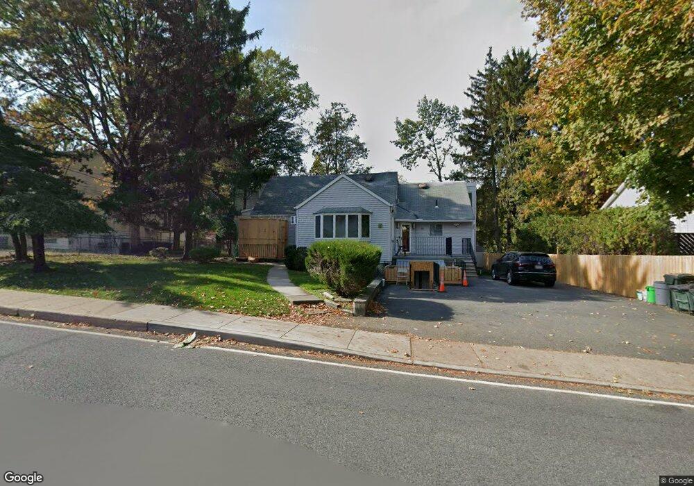
21 Suzanne Dr Monsey, NY 10952
Estimated Value: $1,158,000 - $1,959,000
6
Beds
4
Baths
4,358
Sq Ft
$345/Sq Ft
Est. Value
About This Home
This home is located at 21 Suzanne Dr, Monsey, NY 10952 and is currently estimated at $1,504,000, approximately $345 per square foot. 21 Suzanne Dr is a home located in Rockland County with nearby schools including Margetts Elementary School, Chestnut Ridge Middle School, and Spring Valley High School.
Ownership History
Date
Name
Owned For
Owner Type
Purchase Details
Closed on
Aug 31, 2010
Sold by
21 Sn Dr Corp
Bought by
21 Suzanne Drive Corp
Current Estimated Value
Purchase Details
Closed on
Jun 30, 2009
Sold by
Blum Samuel
Bought by
51 Sndr Corp
Purchase Details
Closed on
Jan 19, 1998
Sold by
Blum Samuel
Bought by
Blum Samuel and Blum Esther
Create a Home Valuation Report for This Property
The Home Valuation Report is an in-depth analysis detailing your home's value as well as a comparison with similar homes in the area
Home Values in the Area
Average Home Value in this Area
Purchase History
| Date | Buyer | Sale Price | Title Company |
|---|---|---|---|
| 21 Suzanne Drive Corp | $290,000 | None Available | |
| 51 Sndr Corp | $563,966 | -- | |
| 21 Sn Dr Corp | -- | None Available | |
| Blum Samuel | -- | Commonwealth Land Title Ins |
Source: Public Records
Tax History
| Year | Tax Paid | Tax Assessment Tax Assessment Total Assessment is a certain percentage of the fair market value that is determined by local assessors to be the total taxable value of land and additions on the property. | Land | Improvement |
|---|---|---|---|---|
| 2022 | $23,311 | $100,300 | $14,700 | $85,600 |
| 2021 | $23,311 | $100,300 | $14,700 | $85,600 |
| 2020 | $38,096 | $100,300 | $14,700 | $85,600 |
| 2019 | $38,522 | $100,300 | $14,700 | $85,600 |
| 2018 | $38,522 | $100,300 | $14,700 | $85,600 |
| 2017 | $38,222 | $100,300 | $14,700 | $85,600 |
| 2016 | $24,604 | $100,300 | $14,700 | $85,600 |
| 2015 | -- | $100,300 | $14,700 | $85,600 |
| 2014 | -- | $100,300 | $14,700 | $85,600 |
Source: Public Records
Map
Nearby Homes
- 5 Jeffrey Place Unit 112
- 242 Blauvelt Rd Unit 201
- 244 Blauvelt Rd Unit 201
- 1 Manor Dr Unit 201
- 1 Manor Dr Unit 102
- 1 Manor Dr Unit 202
- 151 Blauvelt Rd Unit 116
- 1 Blauvelt Rd
- 352 Blauvelt Rd Unit 203
- 4 Fanley Ave
- 101 Park Ln
- 111 Park Ln
- 27 Ellish Pkwy Unit 202
- 27 Ellish Pkwy Unit 103
- 27 Ellish Pkwy Unit 203
- 202 Kearsing Pkwy Unit 202
- 222-230 Adar Ct
- 140 Park Ln
- 201 Kearsing Pkwy Unit D
- 215 Kearsing Pkwy
Your Personal Tour Guide
Ask me questions while you tour the home.