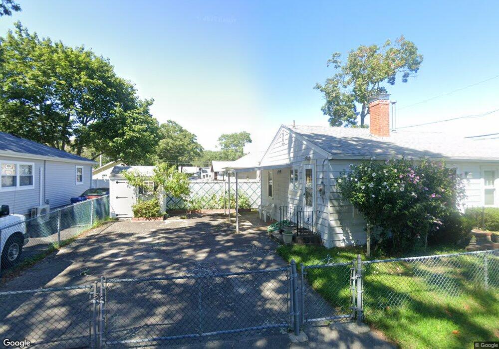
21 Swift Ave Wareham, MA 02571
Wareham Center NeighborhoodEstimated Value: $290,000 - $367,587
1
Bed
1
Bath
793
Sq Ft
$423/Sq Ft
Est. Value
About This Home
This home is located at 21 Swift Ave, Wareham, MA 02571 and is currently estimated at $335,397, approximately $422 per square foot. 21 Swift Ave is a home located in Plymouth County.
Ownership History
Date
Name
Owned For
Owner Type
Purchase Details
Closed on
Jul 2, 2015
Sold by
Arsenault Norine P
Bought by
Verdone Gail M
Current Estimated Value
Home Financials for this Owner
Home Financials are based on the most recent Mortgage that was taken out on this home.
Original Mortgage
$127,040
Outstanding Balance
$98,117
Interest Rate
3.83%
Mortgage Type
New Conventional
Estimated Equity
$237,280
Purchase Details
Closed on
Oct 22, 2008
Sold by
Indymac Fed Bk
Bought by
Arsenault Norine P
Home Financials for this Owner
Home Financials are based on the most recent Mortgage that was taken out on this home.
Original Mortgage
$81,000
Interest Rate
5.94%
Mortgage Type
Purchase Money Mortgage
Purchase Details
Closed on
Jul 15, 2008
Sold by
Nocon Suzanne M and Vass Mary Jane
Bought by
Deutsche Bank Natl T C
Create a Home Valuation Report for This Property
The Home Valuation Report is an in-depth analysis detailing your home's value as well as a comparison with similar homes in the area
Home Values in the Area
Average Home Value in this Area
Purchase History
| Date | Buyer | Sale Price | Title Company |
|---|---|---|---|
| Verdone Gail M | $125,000 | -- | |
| Verdone Gail M | $125,000 | -- | |
| Arsenault Norine P | $90,000 | -- | |
| Arsenault Norine P | $90,000 | -- | |
| Deutsche Bank Natl T C | $141,750 | -- | |
| Deutsche Bank Natl T C | $141,750 | -- |
Source: Public Records
Mortgage History
| Date | Status | Borrower | Loan Amount |
|---|---|---|---|
| Open | Verdone Gail M | $127,040 | |
| Closed | Verdone Gail M | $127,040 | |
| Previous Owner | Deutsche Bank Natl T C | $84,000 | |
| Previous Owner | Deutsche Bank Natl T C | $81,000 |
Source: Public Records
Tax History Compared to Growth
Tax History
| Year | Tax Paid | Tax Assessment Tax Assessment Total Assessment is a certain percentage of the fair market value that is determined by local assessors to be the total taxable value of land and additions on the property. | Land | Improvement |
|---|---|---|---|---|
| 2025 | $3,207 | $307,800 | $106,600 | $201,200 |
| 2024 | $3,252 | $289,600 | $79,600 | $210,000 |
| 2023 | $3,091 | $256,900 | $72,400 | $184,500 |
| 2022 | $2,818 | $213,800 | $72,400 | $141,400 |
| 2021 | $2,615 | $194,400 | $72,400 | $122,000 |
| 2020 | $2,478 | $186,900 | $72,400 | $114,500 |
| 2019 | $2,218 | $166,900 | $64,700 | $102,200 |
| 2018 | $2,152 | $157,900 | $64,700 | $93,200 |
| 2017 | $1,996 | $148,400 | $64,700 | $83,700 |
| 2016 | $1,812 | $133,900 | $61,600 | $72,300 |
| 2015 | -- | $133,900 | $61,600 | $72,300 |
| 2014 | $1,776 | $138,200 | $61,600 | $76,600 |
Source: Public Records
Map
Nearby Homes
- 21 Bayview St
- 43 Shore Ave
- 20 Grant St
- 58 Shady Ln
- 6 Allen Ave
- 15 Broadmarsh Ave
- 0 Cromesett Rd (Off) Unit 73385395
- 11 Turner Ave
- 8 Cottage St
- 4 Ross Ave
- 4 Roosevelt St
- 1 Nimrod Way
- 14 Briarwood Dr
- 12 Taft St
- 233 Marion Rd
- 45 Main St Unit 38
- 62 High St
- 0 Cross Neck Rd Unit 73420524
- 0 Cross Neck Rd Unit 73466177
- 0 Cross Neck Rd Unit 73420525