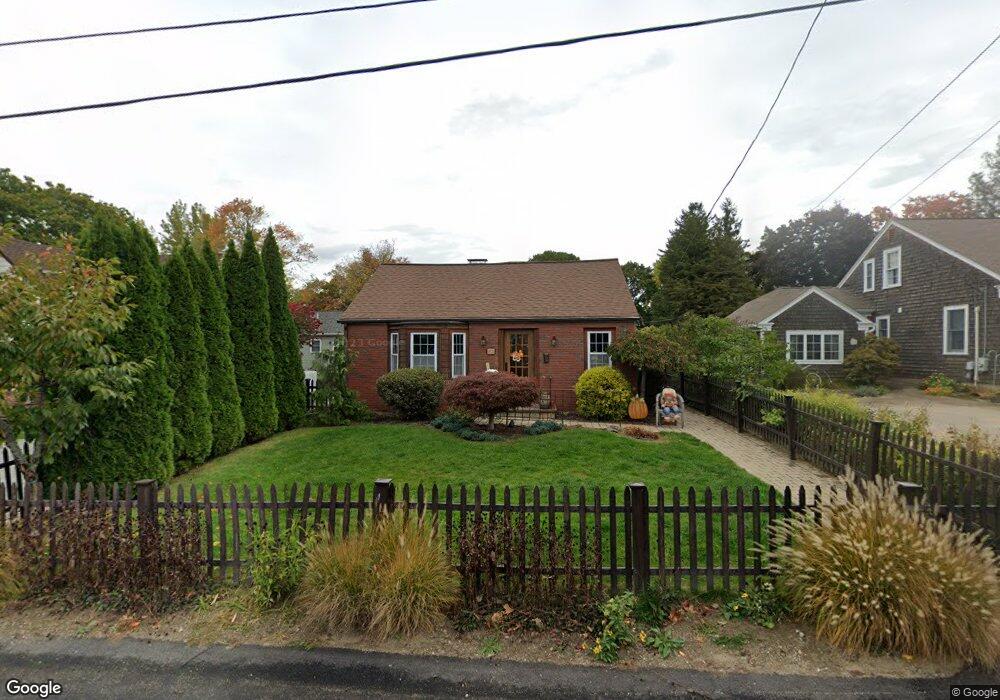
21 Taylor St Cranston, RI 02920
Meshanticut NeighborhoodEstimated Value: $456,385 - $691,000
3
Beds
2
Baths
2,140
Sq Ft
$251/Sq Ft
Est. Value
About This Home
This home is located at 21 Taylor St, Cranston, RI 02920 and is currently estimated at $536,596, approximately $250 per square foot. 21 Taylor St is a home located in Providence County with nearby schools including Glen Hills School, Western Hills Middle School, and Cranston High School West.
Ownership History
Date
Name
Owned For
Owner Type
Purchase Details
Closed on
Dec 31, 2014
Sold by
Carpentier Linda
Bought by
Greco Linda M
Current Estimated Value
Home Financials for this Owner
Home Financials are based on the most recent Mortgage that was taken out on this home.
Original Mortgage
$194,000
Outstanding Balance
$148,986
Interest Rate
3.99%
Estimated Equity
$387,611
Purchase Details
Closed on
Feb 22, 2010
Sold by
Rowles Susan A and Santurri Anthony Ju
Bought by
Carpentier Linda
Home Financials for this Owner
Home Financials are based on the most recent Mortgage that was taken out on this home.
Original Mortgage
$208,587
Interest Rate
5.17%
Mortgage Type
Purchase Money Mortgage
Purchase Details
Closed on
Sep 23, 2009
Sold by
Hsbc Bank Usa
Bought by
Rowles Susan A and Santurri Anthony J
Purchase Details
Closed on
Jul 2, 2009
Sold by
Musco Barbara L
Bought by
Hsbc Bank Usa
Create a Home Valuation Report for This Property
The Home Valuation Report is an in-depth analysis detailing your home's value as well as a comparison with similar homes in the area
Home Values in the Area
Average Home Value in this Area
Purchase History
| Date | Buyer | Sale Price | Title Company |
|---|---|---|---|
| Greco Linda M | -- | -- | |
| Carpentier Linda | $220,000 | -- | |
| Rowles Susan A | $100,000 | -- | |
| Hsbc Bank Usa | $126,000 | -- |
Source: Public Records
Mortgage History
| Date | Status | Borrower | Loan Amount |
|---|---|---|---|
| Open | Greco Linda M | $194,000 | |
| Previous Owner | Hsbc Bank Usa | $208,587 | |
| Previous Owner | Hsbc Bank Usa | $260,000 | |
| Previous Owner | Hsbc Bank Usa | $50,000 |
Source: Public Records
Tax History
| Year | Tax Paid | Tax Assessment Tax Assessment Total Assessment is a certain percentage of the fair market value that is determined by local assessors to be the total taxable value of land and additions on the property. | Land | Improvement |
|---|---|---|---|---|
| 2025 | $5,298 | $381,700 | $101,300 | $280,400 |
| 2024 | $5,195 | $381,700 | $101,300 | $280,400 |
| 2023 | $4,990 | $264,000 | $66,700 | $197,300 |
| 2022 | $4,887 | $264,000 | $66,700 | $197,300 |
| 2021 | $4,752 | $264,000 | $66,700 | $197,300 |
| 2020 | $4,453 | $214,400 | $63,500 | $150,900 |
| 2019 | $4,453 | $214,400 | $63,500 | $150,900 |
| 2018 | $4,350 | $214,400 | $63,500 | $150,900 |
| 2017 | $3,920 | $170,900 | $57,200 | $113,700 |
| 2016 | $3,837 | $170,900 | $57,200 | $113,700 |
| 2015 | $3,837 | $170,900 | $57,200 | $113,700 |
| 2014 | $3,506 | $153,500 | $57,200 | $96,300 |
Source: Public Records
Map
Nearby Homes
- 27 Shean St
- 7 Squantum St
- 7 Oak Tree Ln
- 29 Valley St
- 203 Dean Ridge Ct
- 210 Summit Dr
- 11 W Blue Ridge Rd
- 217 Belvedere Dr
- 178 Highland St
- 140 Lake View Rd
- 85 Summit Dr
- 275 Meshanticut Valley Pkwy
- 51 E Bel Air Rd
- 82 Mountain Laurel Dr
- 214 Meshanticut Valley Pkwy
- 135 Meshanticut Valley Pkwy
- 201 Hoffman Ave Unit 19
- 175 Hoffman Ave Unit 102
- 141 Glen Ridge Rd
- 64 Cliffside Dr
Your Personal Tour Guide
Ask me questions while you tour the home.