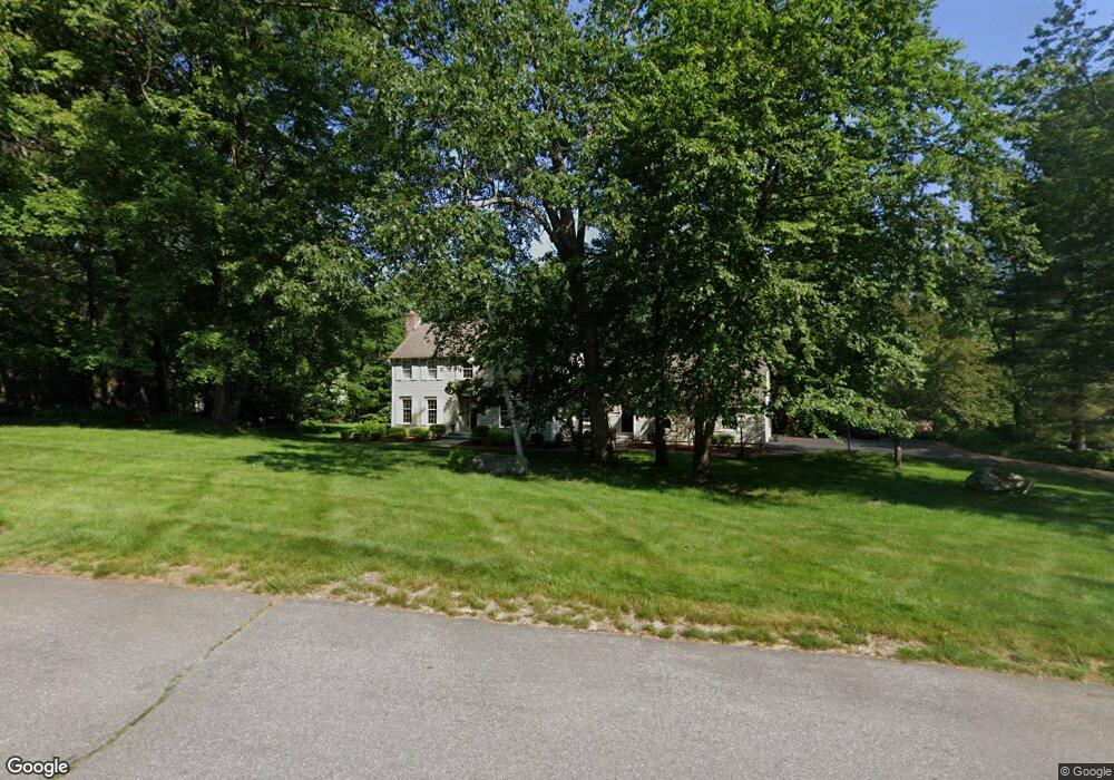
21 Telo Rd Windham, NH 03087
Estimated Value: $798,637 - $998,000
3
Beds
2
Baths
2,556
Sq Ft
$348/Sq Ft
Est. Value
About This Home
This home is located at 21 Telo Rd, Windham, NH 03087 and is currently estimated at $889,409, approximately $347 per square foot. 21 Telo Rd is a home located in Rockingham County with nearby schools including Golden Brook Elementary School, Windham Middle School, and Windham High School.
Ownership History
Date
Name
Owned For
Owner Type
Purchase Details
Closed on
Oct 22, 2021
Sold by
Dubay Karl R and Dubay Maryann E
Bought by
Maryann E Dubay Ret
Current Estimated Value
Purchase Details
Closed on
Mar 16, 1998
Sold by
Solley Dennis J and Solley Ester
Bought by
Dubay Karl R and Dubay Maryann E
Home Financials for this Owner
Home Financials are based on the most recent Mortgage that was taken out on this home.
Original Mortgage
$199,500
Interest Rate
7.03%
Create a Home Valuation Report for This Property
The Home Valuation Report is an in-depth analysis detailing your home's value as well as a comparison with similar homes in the area
Home Values in the Area
Average Home Value in this Area
Purchase History
We collect this data history from publicly available records. To have your information removed, we recommend requesting removal directly through your county’s website.
| Date | Buyer | Sale Price | Title Company |
|---|---|---|---|
| Maryann E Dubay Ret | -- | None Available | |
| Dubay Karl R | $210,000 | -- |
Source: Public Records
Mortgage History
We collect this data history from publicly available records. To have your information removed, we recommend requesting removal directly through your county’s website.
| Date | Status | Borrower | Loan Amount |
|---|---|---|---|
| Previous Owner | Dubay Karl R | $30,000 | |
| Previous Owner | Dubay Karl R | $125,000 | |
| Previous Owner | Dubay Karl R | $100,000 | |
| Previous Owner | Dubay Karl R | $199,500 |
Source: Public Records
Tax History
| Year | Tax Paid | Tax Assessment Tax Assessment Total Assessment is a certain percentage of the fair market value that is determined by local assessors to be the total taxable value of land and additions on the property. | Land | Improvement |
|---|---|---|---|---|
| 2025 | $12,438 | $879,000 | $318,700 | $560,300 |
| 2024 | $12,214 | $539,500 | $195,500 | $344,000 |
| 2023 | $11,545 | $539,500 | $195,500 | $344,000 |
| 2022 | $10,661 | $539,500 | $195,500 | $344,000 |
| 2021 | $10,045 | $539,500 | $195,500 | $344,000 |
| 2020 | $10,284 | $537,600 | $195,500 | $342,100 |
| 2019 | $9,821 | $435,500 | $178,900 | $256,600 |
| 2018 | $8,361 | $433,000 | $178,900 | $254,100 |
| 2017 | $8,672 | $429,300 | $178,900 | $250,400 |
| 2016 | $9,367 | $429,300 | $178,900 | $250,400 |
| 2015 | $8,317 | $382,900 | $182,000 | $200,900 |
| 2014 | $9,235 | $384,800 | $182,000 | $202,800 |
| 2013 | $9,048 | $383,400 | $182,000 | $201,400 |
Source: Public Records
Map
Nearby Homes
- 2 Mulberry St
- 12 Blueberry Rd
- 5 Bedros St
- 17 Nottingham Rd
- 22 Kent St
- 24 Fordway Extension
- 2 Brown Rd
- 54 N Lowell Rd Unit 4
- 11 Oriole Rd
- 32 Morrison Rd
- 21 Edinburgh Rd
- 16 Towne Dr
- 18 Highclere Rd
- 166 Londonderry Rd
- 88 Meetinghouse Rd
- 67 Forest St
- 22 Depot Rd
- 44 Sheffield St
- 20 Hancock Rd
- 6 Hancock Rd
Your Personal Tour Guide
Ask me questions while you tour the home.