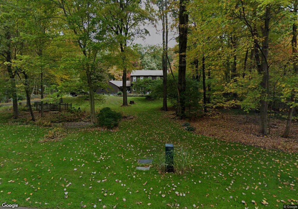
21 Tree Top Rd Ellington, CT 06029
Estimated Value: $599,460 - $634,000
3
Beds
3
Baths
2,878
Sq Ft
$212/Sq Ft
Est. Value
About This Home
This home is located at 21 Tree Top Rd, Ellington, CT 06029 and is currently estimated at $610,615, approximately $212 per square foot. 21 Tree Top Rd is a home located in Tolland County with nearby schools including Ellington High School.
Ownership History
Date
Name
Owned For
Owner Type
Purchase Details
Closed on
Apr 27, 2004
Sold by
Hazzard Brent and Hazzard Melinda
Bought by
Grinaski Timothy and Grinaski Lizette
Current Estimated Value
Home Financials for this Owner
Home Financials are based on the most recent Mortgage that was taken out on this home.
Original Mortgage
$190,000
Interest Rate
5.4%
Purchase Details
Closed on
May 27, 1999
Sold by
Wachtel George and Wachtel Deirdre
Bought by
Hazzard Brent and Hazzard Melinda
Home Financials for this Owner
Home Financials are based on the most recent Mortgage that was taken out on this home.
Original Mortgage
$200,000
Interest Rate
6.82%
Create a Home Valuation Report for This Property
The Home Valuation Report is an in-depth analysis detailing your home's value as well as a comparison with similar homes in the area
Home Values in the Area
Average Home Value in this Area
Purchase History
| Date | Buyer | Sale Price | Title Company |
|---|---|---|---|
| Grinaski Timothy | $275,500 | -- | |
| Hazzard Brent | $270,900 | -- |
Source: Public Records
Mortgage History
| Date | Status | Borrower | Loan Amount |
|---|---|---|---|
| Open | Hazzard Brent | $163,635 | |
| Closed | Hazzard Brent | $190,000 | |
| Previous Owner | Hazzard Brent | $200,000 | |
| Previous Owner | Hazzard Brent | $257,191 |
Source: Public Records
Tax History Compared to Growth
Tax History
| Year | Tax Paid | Tax Assessment Tax Assessment Total Assessment is a certain percentage of the fair market value that is determined by local assessors to be the total taxable value of land and additions on the property. | Land | Improvement |
|---|---|---|---|---|
| 2025 | $10,125 | $272,900 | $77,560 | $195,340 |
| 2024 | $9,824 | $272,900 | $77,560 | $195,340 |
| 2023 | $9,360 | $272,900 | $77,560 | $195,340 |
| 2022 | $6,537 | $201,150 | $77,560 | $123,590 |
| 2021 | $6,356 | $201,150 | $77,560 | $123,590 |
| 2020 | $7,572 | $232,280 | $79,410 | $152,870 |
| 2019 | $7,572 | $232,280 | $79,410 | $152,870 |
| 2016 | $7,085 | $232,280 | $79,410 | $152,870 |
| 2015 | $8,599 | $281,940 | $79,410 | $202,530 |
| 2014 | $8,092 | $281,940 | $79,410 | $202,530 |
Source: Public Records
Map
Nearby Homes
- 0 Porter Rd
- 5 Cranberry Ln
- 14 Cherrywood Dr
- 41 Hoffman Rd
- 0000 Webster Rd
- 178 Crystal Lake Rd
- 31 Gail Dr
- 1 Maple St Unit 21
- 310 South Rd
- 89 Crystal Lake Rd Unit T7
- 58 Maple St
- 24 Bonair Hill Rd
- 2 Pease Farm Rd
- 89 Maple St
- 8 Sadds Mill Rd
- 7 Gulf Rd
- 12 Burbank Rd
- 2 Setting Sun Trail
- 283 Mountain View Rd
- 12 Petersson Cir