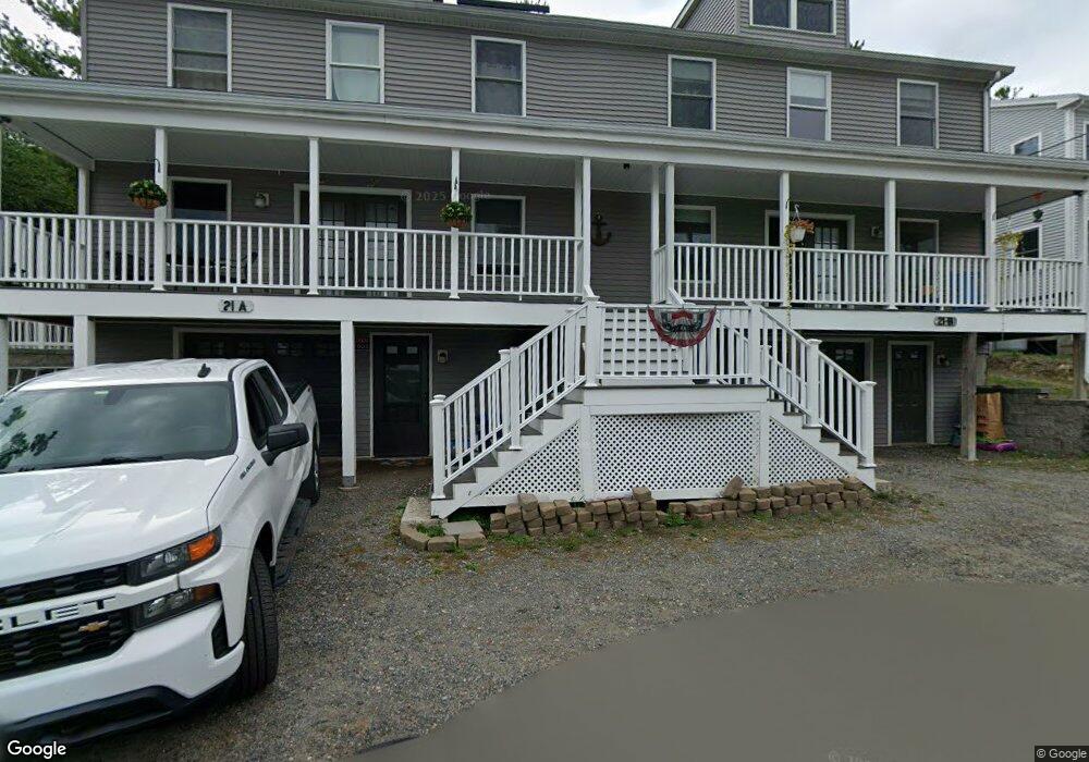
21 Uncas Rd Gloucester, MA 01930
West Gloucester NeighborhoodEstimated Value: $895,000 - $1,143,000
6
Beds
4
Baths
4,070
Sq Ft
$256/Sq Ft
Est. Value
About This Home
This home is located at 21 Uncas Rd, Gloucester, MA 01930 and is currently estimated at $1,042,724, approximately $256 per square foot. 21 Uncas Rd is a home with nearby schools including West Parish, Ralph B O'maley Middle School, and Gloucester High School.
Ownership History
Date
Name
Owned For
Owner Type
Purchase Details
Closed on
Dec 4, 2008
Sold by
Randazzo Antonino and Randazzo Estrela C
Bought by
Nunes Daniel
Current Estimated Value
Create a Home Valuation Report for This Property
The Home Valuation Report is an in-depth analysis detailing your home's value as well as a comparison with similar homes in the area
Home Values in the Area
Average Home Value in this Area
Purchase History
| Date | Buyer | Sale Price | Title Company |
|---|---|---|---|
| Nunes Daniel | -- | -- |
Source: Public Records
Mortgage History
| Date | Status | Borrower | Loan Amount |
|---|---|---|---|
| Open | Nunes Daniel | $417,000 | |
| Closed | Nunes Daniel | $399,500 |
Source: Public Records
Tax History
| Year | Tax Paid | Tax Assessment Tax Assessment Total Assessment is a certain percentage of the fair market value that is determined by local assessors to be the total taxable value of land and additions on the property. | Land | Improvement |
|---|---|---|---|---|
| 2025 | $9,920 | $1,020,600 | $159,200 | $861,400 |
| 2024 | $9,856 | $1,013,000 | $151,600 | $861,400 |
| 2023 | $10,889 | $1,028,200 | $135,400 | $892,800 |
| 2022 | $9,755 | $831,600 | $117,800 | $713,800 |
| 2021 | $9,434 | $758,400 | $107,000 | $651,400 |
| 2020 | $8,889 | $720,900 | $107,000 | $613,900 |
| 2019 | $8,144 | $641,800 | $107,000 | $534,800 |
| 2018 | $7,492 | $579,400 | $107,000 | $472,400 |
| 2017 | $7,136 | $541,000 | $102,000 | $439,000 |
| 2016 | $6,752 | $496,100 | $106,400 | $389,700 |
| 2015 | $6,648 | $487,000 | $106,400 | $380,600 |
Source: Public Records
Map
Nearby Homes
- 5 Samoset Rd Unit B
- 5 Lepage Ln
- 24 Cobblestone Ln Unit 603
- 145 Essex Ave Unit 402
- 5 Marshfield St
- 368 Essex Ave
- 3 Rockland St
- 15 Harvard St
- 13 Leslie o Johnson Rd
- 6 Monroe Ct
- 20 Beacon St
- 20 Beacon St Unit 2
- 20 Beacon St Unit 1
- 120 Washington St
- 13 Honeysuckle Rd
- 98 Maplewood Ave
- 8 Mystic Ave
- 13 Mystic Ave
- 9 Cleveland Place
- 12 Arthur St
- 19 Uncas Rd Unit B
- 18 Uncas Rd
- 16 Uncas Rd
- 20 Uncas Rd
- 25A Uncas Rd Unit A
- 25 Uncas Rd
- 19 King Philip Rd
- 15 Uncas Rd
- 24 Uncas Rd
- 27 Uncas Rd
- 13 King Philip Rd
- 25 King Philip Rd
- 20/lot6&31 King Philip Rd
- 20 & 31 King Philip Rd
- 9 King Philip Rd
- 29 Uncas Rd Unit 2
- 29 Uncas Rd Unit 1
- 13 Uncas Rd
- 26 Uncas Rd
- 11 Uncas Rd
Your Personal Tour Guide
Ask me questions while you tour the home.