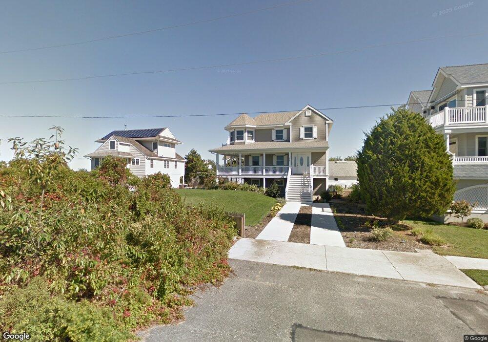
21 W Winthrop Ave Strathmere, NJ 08248
Estimated Value: $1,688,000 - $2,453,000
Studio
3
Baths
2,157
Sq Ft
$980/Sq Ft
Est. Value
About This Home
This home is located at 21 W Winthrop Ave, Strathmere, NJ 08248 and is currently estimated at $2,114,382, approximately $980 per square foot. 21 W Winthrop Ave is a home located in Cape May County with nearby schools including Ocean City Primary School, Ocean City Intermediate School, and Ocean City High School.
Ownership History
Date
Name
Owned For
Owner Type
Purchase Details
Closed on
Aug 16, 2019
Sold by
Stuart Jeffrey R and Stuart Rosemary T
Bought by
Corretini Francis L and Corretini Dolores R
Current Estimated Value
Home Financials for this Owner
Home Financials are based on the most recent Mortgage that was taken out on this home.
Original Mortgage
$680,000
Outstanding Balance
$591,635
Interest Rate
3.8%
Mortgage Type
Purchase Money Mortgage
Estimated Equity
$1,522,747
Purchase Details
Closed on
Aug 3, 1998
Sold by
Shapowal David A
Bought by
Stuart Jeffrey R and Stuart Rosemary T
Home Financials for this Owner
Home Financials are based on the most recent Mortgage that was taken out on this home.
Original Mortgage
$170,000
Interest Rate
6.92%
Create a Home Valuation Report for This Property
The Home Valuation Report is an in-depth analysis detailing your home's value as well as a comparison with similar homes in the area
Home Values in the Area
Average Home Value in this Area
Purchase History
| Date | Buyer | Sale Price | Title Company |
|---|---|---|---|
| Corretini Francis L | $850,000 | Shore Title | |
| Stuart Jeffrey R | $275,000 | -- |
Source: Public Records
Mortgage History
| Date | Status | Borrower | Loan Amount |
|---|---|---|---|
| Open | Corretini Francis L | $680,000 | |
| Previous Owner | Stuart Jeffrey R | $170,000 |
Source: Public Records
Tax History
| Year | Tax Paid | Tax Assessment Tax Assessment Total Assessment is a certain percentage of the fair market value that is determined by local assessors to be the total taxable value of land and additions on the property. | Land | Improvement |
|---|---|---|---|---|
| 2025 | $16,484 | $742,200 | $469,500 | $272,700 |
| 2024 | $16,484 | $742,200 | $469,500 | $272,700 |
Source: Public Records
Map
Nearby Homes
- 18 E Winthrop Ave
- 22 Williams Ave
- 5 E Sumner Ave
- 18 E Randolph Ave
- 104 Prescott Ave
- 10 E Winthrop Ave
- 117 Taylor Ave
- 118 2nd St Unit East
- 5732 Central 1st Ave Unit 1st
- 5734 Central Ave Unit 5734
- 5647 Asbury Ave Unit 2nd Floor
- 5516 Asbury Ave Unit 18
- 5512 Asbury Ave
- 400 E 55th St Unit E
- 400 E 55th St Unit D
- 5455 Asbury Ave Unit 3
- 5441 Central Ave
- 209 Bark Dr
- 5328 Asbury Ave Unit 1st Floor
- 5315 West Ave
- 21 W Winthrop Rd
- 17 W Winthrop Ave
- 13 W Winthrop Ave
- 14 W Seacliff Ave
- 18 W Seacliff Ave
- 9 W Winthrop Ave
- 5 W Winthrop Ave
- 6 W Winthrop Ave
- 204 S Bayview Dr Unit South
- 1 W Winthrop Rd
- 2 W Winthrop Rd
- 12 N Bayview Dr
- 104 N Commonwealth Ave
- 6 N Bayview Dr
- 100 N Commonwealth Ave
- 5 W Seacliff Ave
- 37 N Bayview Dr
- 300 N Commonwealth Ave
- 201 N Commonwealth Ave
- 304 N Commonwealth Ave
Your Personal Tour Guide
Ask me questions while you tour the home.