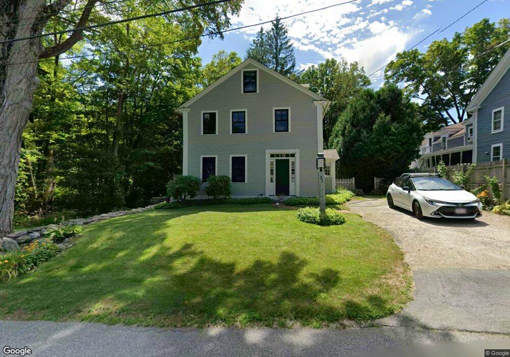
21 West St Petersham, MA 01366
Estimated Value: $434,734 - $454,000
3
Beds
2
Baths
2,062
Sq Ft
$214/Sq Ft
Est. Value
About This Home
This home is located at 21 West St, Petersham, MA 01366 and is currently estimated at $441,434, approximately $214 per square foot. 21 West St is a home located in Worcester County with nearby schools including Petersham Center, Ralph C Mahar Regional, and Petersham Montessori School.
Ownership History
Date
Name
Owned For
Owner Type
Purchase Details
Closed on
Dec 16, 2015
Sold by
Brunelle Kevin M
Bought by
Brunelle Mary E
Current Estimated Value
Purchase Details
Closed on
May 18, 2004
Sold by
Brunelle Mary E
Bought by
Brunelle Kevin and Brunelle Mary E
Purchase Details
Closed on
Apr 3, 2000
Sold by
Fnma
Bought by
Brunelle Mary E
Home Financials for this Owner
Home Financials are based on the most recent Mortgage that was taken out on this home.
Original Mortgage
$109,800
Interest Rate
8.4%
Mortgage Type
Purchase Money Mortgage
Purchase Details
Closed on
Apr 7, 1999
Sold by
Squiers Sam H
Bought by
Federal National Mortgage Association
Create a Home Valuation Report for This Property
The Home Valuation Report is an in-depth analysis detailing your home's value as well as a comparison with similar homes in the area
Home Values in the Area
Average Home Value in this Area
Purchase History
| Date | Buyer | Sale Price | Title Company |
|---|---|---|---|
| Brunelle Mary E | $3,000 | -- | |
| Brunelle Kevin | -- | -- | |
| Brunelle Mary E | $77,500 | -- | |
| Federal National Mortgage Association | $86,910 | -- |
Source: Public Records
Mortgage History
| Date | Status | Borrower | Loan Amount |
|---|---|---|---|
| Previous Owner | Federal National Mortgage Association | $180,000 | |
| Previous Owner | Federal National Mortgage Association | $38,754 | |
| Previous Owner | Federal National Mortgage Association | $142,400 | |
| Previous Owner | Federal National Mortgage Association | $109,800 |
Source: Public Records
Tax History Compared to Growth
Tax History
| Year | Tax Paid | Tax Assessment Tax Assessment Total Assessment is a certain percentage of the fair market value that is determined by local assessors to be the total taxable value of land and additions on the property. | Land | Improvement |
|---|---|---|---|---|
| 2025 | $5,345 | $368,900 | $45,300 | $323,600 |
| 2024 | $4,627 | $323,600 | $45,300 | $278,300 |
| 2023 | $4,033 | $255,400 | $43,200 | $212,200 |
| 2022 | $3,458 | $255,400 | $43,200 | $212,200 |
| 2021 | $3,786 | $247,300 | $39,200 | $208,100 |
| 2020 | $3,988 | $229,600 | $33,900 | $195,700 |
| 2019 | $3,716 | $219,500 | $29,800 | $189,700 |
| 2018 | $3,574 | $218,300 | $28,600 | $189,700 |
| 2017 | $3,434 | $212,100 | $30,300 | $181,800 |
| 2016 | $3,483 | $212,100 | $30,300 | $181,800 |
| 2015 | $3,570 | $210,100 | $30,300 | $179,800 |
| 2014 | $3,347 | $210,100 | $30,300 | $179,800 |
Source: Public Records
Map
Nearby Homes
- 32 West St
- 19&21 Common St
- 15 Common St
- 42 New Salem Rd
- 27 Popple Camp Rd
- 163 Hardwick Rd
- 0 Popple Camp Rd Unit 73432026
- 11-L New Athol Rd
- 12-L New Athol Rd
- 7-L New Athol Rd
- 42 Glasheen Rd
- 204 East St
- 0 Nichewaug Rd
- 47 Harty Dr
- 32 Edward Ln
- Back Lot 0 Petersham Rd
- 31 Edward Ln
- 37 Gauthier Rd
- 30 Woodward Rd
- 20 Dana Rd