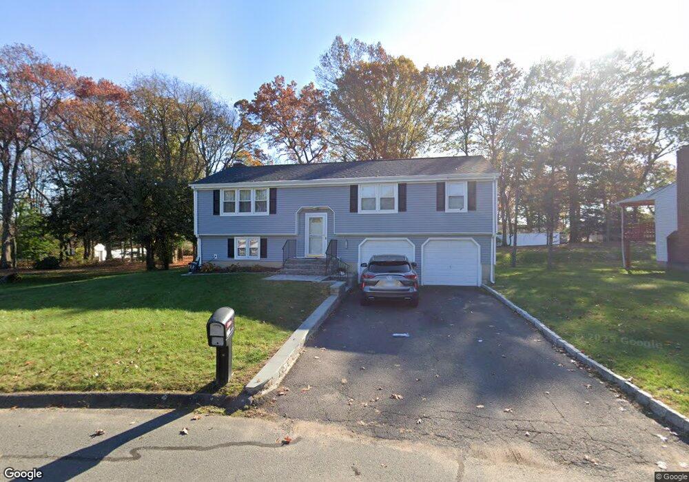
21 Westridge St Windsor, CT 06095
West Windsor NeighborhoodEstimated Value: $301,000 - $359,000
3
Beds
2
Baths
1,194
Sq Ft
$285/Sq Ft
Est. Value
About This Home
This home is located at 21 Westridge St, Windsor, CT 06095 and is currently estimated at $339,694, approximately $284 per square foot. 21 Westridge St is a home located in Hartford County with nearby schools including Poquonock Elementary School, Clover Street School, and Sage Park Middle School.
Ownership History
Date
Name
Owned For
Owner Type
Purchase Details
Closed on
Oct 1, 1999
Sold by
Pandey Lalit and Pandey Sarot
Bought by
Diare Rohan and Diare Sonja
Current Estimated Value
Purchase Details
Closed on
Aug 13, 1987
Sold by
Williams Chester
Bought by
Cohen Stuart
Create a Home Valuation Report for This Property
The Home Valuation Report is an in-depth analysis detailing your home's value as well as a comparison with similar homes in the area
Home Values in the Area
Average Home Value in this Area
Purchase History
| Date | Buyer | Sale Price | Title Company |
|---|---|---|---|
| Diare Rohan | $130,000 | -- | |
| Cohen Stuart | $115,000 | -- |
Source: Public Records
Mortgage History
| Date | Status | Borrower | Loan Amount |
|---|---|---|---|
| Closed | Cohen Stuart | $75,000 | |
| Open | Cohen Stuart | $135,474 | |
| Closed | Cohen Stuart | $133,742 |
Source: Public Records
Tax History Compared to Growth
Tax History
| Year | Tax Paid | Tax Assessment Tax Assessment Total Assessment is a certain percentage of the fair market value that is determined by local assessors to be the total taxable value of land and additions on the property. | Land | Improvement |
|---|---|---|---|---|
| 2025 | $5,791 | $203,560 | $52,430 | $151,130 |
| 2024 | $6,172 | $203,560 | $52,430 | $151,130 |
| 2023 | $4,194 | $124,810 | $36,610 | $88,200 |
| 2022 | $4,152 | $124,810 | $36,610 | $88,200 |
| 2021 | $4,152 | $124,810 | $36,610 | $88,200 |
| 2020 | $4,132 | $124,810 | $36,610 | $88,200 |
| 2019 | $4,041 | $124,810 | $36,610 | $88,200 |
| 2018 | $3,975 | $120,610 | $36,610 | $84,000 |
| 2017 | $3,914 | $120,610 | $36,610 | $84,000 |
| 2016 | $3,802 | $120,610 | $36,610 | $84,000 |
| 2015 | $3,729 | $120,610 | $36,610 | $84,000 |
| 2014 | $3,675 | $120,610 | $36,610 | $84,000 |
Source: Public Records
Map
Nearby Homes
- 580 W Wolcott Ave
- 2 Sandra Dr
- 5 Eagleton Dr
- 39 Wade Ave
- 18 Englewood Ave
- 15 Kelsey Place
- 26 Kelsey Place
- 18 Walsh St
- 1083 Blue Hills Ave Unit G
- 31 Farmstead Cir
- 12 London Rd
- 67 Elizabeth Ave
- 13 Patton Rd
- 10 Greenbriar Dr Unit 12
- 30 Harding Ave
- 1130 Blue Hills Ave
- 747 Blue Hills Ave
- 117 E Harold St
- 97 E Burnham St
- 45 E Wintonbury Ave