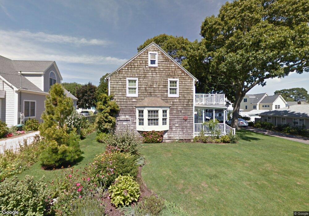
21 Whitecap Rd Niantic, CT 06357
Estimated Value: $728,000 - $846,000
4
Beds
3
Baths
1,878
Sq Ft
$412/Sq Ft
Est. Value
About This Home
This home is located at 21 Whitecap Rd, Niantic, CT 06357 and is currently estimated at $774,300, approximately $412 per square foot. 21 Whitecap Rd is a home located in New London County with nearby schools including East Lyme Middle School, East Lyme High School, and The Light House Voc-Ed Center.
Ownership History
Date
Name
Owned For
Owner Type
Purchase Details
Closed on
Nov 2, 2012
Sold by
Ward Randall M and Ward Patricia M
Bought by
Galati 3Rd Alexander C and Galati Kimberly M
Current Estimated Value
Home Financials for this Owner
Home Financials are based on the most recent Mortgage that was taken out on this home.
Original Mortgage
$400,000
Outstanding Balance
$71,498
Interest Rate
3.5%
Estimated Equity
$702,802
Purchase Details
Closed on
Sep 15, 2000
Sold by
Moffitt Gary and Moffitt Christina
Bought by
Ward Randall M and Ward Patricia M
Home Financials for this Owner
Home Financials are based on the most recent Mortgage that was taken out on this home.
Original Mortgage
$75,000
Interest Rate
8.07%
Create a Home Valuation Report for This Property
The Home Valuation Report is an in-depth analysis detailing your home's value as well as a comparison with similar homes in the area
Home Values in the Area
Average Home Value in this Area
Purchase History
| Date | Buyer | Sale Price | Title Company |
|---|---|---|---|
| Galati 3Rd Alexander C | $500,000 | -- | |
| Ward Randall M | $230,000 | -- |
Source: Public Records
Mortgage History
| Date | Status | Borrower | Loan Amount |
|---|---|---|---|
| Open | Ward Randall M | $400,000 | |
| Previous Owner | Ward Randall M | $214,000 | |
| Previous Owner | Ward Randall M | $125,000 | |
| Previous Owner | Ward Randall M | $75,000 |
Source: Public Records
Tax History
| Year | Tax Paid | Tax Assessment Tax Assessment Total Assessment is a certain percentage of the fair market value that is determined by local assessors to be the total taxable value of land and additions on the property. | Land | Improvement |
|---|---|---|---|---|
| 2025 | $7,794 | $278,250 | $148,470 | $129,780 |
| 2024 | $7,332 | $278,250 | $148,470 | $129,780 |
| 2023 | $6,923 | $278,250 | $148,470 | $129,780 |
| 2022 | $6,633 | $278,250 | $148,470 | $129,780 |
| 2021 | $6,558 | $230,020 | $128,660 | $101,360 |
| 2020 | $6,523 | $230,020 | $128,660 | $101,360 |
| 2019 | $6,484 | $230,020 | $128,660 | $101,360 |
| 2018 | $6,291 | $230,020 | $128,660 | $101,360 |
| 2017 | $6,017 | $230,020 | $128,660 | $101,360 |
| 2016 | $5,743 | $226,450 | $128,660 | $97,790 |
| 2015 | $5,596 | $226,450 | $128,660 | $97,790 |
| 2014 | $5,442 | $226,450 | $128,660 | $97,790 |
Source: Public Records
Map
Nearby Homes
- 61 Whitecap Rd
- 36 Attawan Rd
- 26 Mohawk Dr
- 127 Black Point Rd Unit 7
- 42 S Washington Ave
- 15 Griswold Rd
- 19 Sapia Dr
- 12 Spinnaker Dr
- 31 Regatta Dr
- 468 Main St Unit 318
- 468 Main St Unit 111
- 18 Compass Ct
- 43 Village Crossing Unit 43
- 47 Village Crossing Unit 47
- 46 Village Crossing Unit 46
- 97 W Main St Unit 36
- 55 Corey Ln
- 185 Main St Unit 301
- 185 Main St Unit 305
- 43 Roxbury Ct
- 17 Whitecap Rd
- 23 Whitecap Rd
- 24 Indianola Rd
- 26 Indianola Rd
- 15 Whitecap Rd
- 18 Whitecap Rd
- 18 Indianola Rd
- 27 Whitecap Rd
- 3 Pallette Dr
- 28 Indianola Rd
- 4 Pallette Dr
- 13 Whitecap Rd
- 16 Indianola Rd
- 14 Whitecap Rd
- 28 Whitecap Rd
- 30 Indianola Rd
- 28 Whitecap Rd
- 26 Whitecap Rd
- 21 Indianola Rd
- 19 Sea Breeze Ave
Your Personal Tour Guide
Ask me questions while you tour the home.