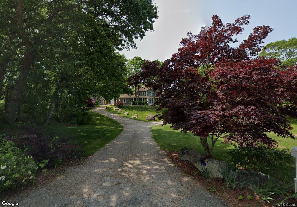
21 Wicklow Rd Westerly, RI 02891
Estimated Value: $1,283,000 - $1,447,000
4
Beds
3
Baths
2,500
Sq Ft
$545/Sq Ft
Est. Value
About This Home
This home is located at 21 Wicklow Rd, Westerly, RI 02891 and is currently estimated at $1,361,695, approximately $544 per square foot. 21 Wicklow Rd is a home located in Washington County with nearby schools including Westerly High School and St. Michael School.
Ownership History
Date
Name
Owned For
Owner Type
Purchase Details
Closed on
Feb 18, 2021
Sold by
Bartkiewicz Alferd A and Bartkiewicz Barbara A
Bought by
A A & B Bartkiewicz Irt
Current Estimated Value
Purchase Details
Closed on
Aug 21, 2015
Sold by
Winnapaug Hills Llc
Bought by
Bartkiewicz Alfred A and Bartkiewicz Barbara A
Purchase Details
Closed on
Aug 28, 2012
Sold by
Bartkiewicz Alfred A
Bought by
Bartkiewicz Araceli B and Bartkiewicz Drew C
Purchase Details
Closed on
Nov 23, 1994
Sold by
James Romanella & Sons
Bought by
Bartkiewicz Alfred A and Bartkiewicz Barbara
Create a Home Valuation Report for This Property
The Home Valuation Report is an in-depth analysis detailing your home's value as well as a comparison with similar homes in the area
Home Values in the Area
Average Home Value in this Area
Purchase History
| Date | Buyer | Sale Price | Title Company |
|---|---|---|---|
| A A & B Bartkiewicz Irt | -- | None Available | |
| Bartkiewicz Alfred A | $3,500 | -- | |
| Bartkiewicz Araceli B | -- | -- | |
| Bartkiewicz Alfred A | $60,000 | -- |
Source: Public Records
Mortgage History
| Date | Status | Borrower | Loan Amount |
|---|---|---|---|
| Previous Owner | Bartkiewicz Alfred A | $210,000 |
Source: Public Records
Tax History
| Year | Tax Paid | Tax Assessment Tax Assessment Total Assessment is a certain percentage of the fair market value that is determined by local assessors to be the total taxable value of land and additions on the property. | Land | Improvement |
|---|---|---|---|---|
| 2025 | $8,881 | $1,249,100 | $521,000 | $728,100 |
| 2024 | $9,005 | $917,900 | $375,200 | $542,700 |
| 2023 | $8,830 | $917,900 | $375,200 | $542,700 |
| 2022 | $8,775 | $917,900 | $375,200 | $542,700 |
| 2021 | $8,223 | $713,800 | $278,400 | $435,400 |
| 2020 | $8,073 | $713,800 | $278,400 | $435,400 |
| 2019 | $7,995 | $713,800 | $278,400 | $435,400 |
| 2018 | $7,854 | $661,100 | $278,400 | $382,700 |
| 2017 | $7,662 | $661,100 | $278,400 | $382,700 |
| 2016 | $7,722 | $661,100 | $278,400 | $382,700 |
| 2015 | $7,049 | $651,500 | $281,900 | $369,600 |
| 2014 | $6,932 | $651,500 | $281,900 | $369,600 |
Source: Public Records
Map
Nearby Homes
- 19 Wicklow Rd
- 54 Sherwood Dr
- 8 Kettle Close
- 1 Compass Way Unit A103
- 9 Compass Way Unit 201
- 9 Compass Way Unit 202
- 9 Compass Way Unit 101
- 9 Compass Way Unit 102
- 9 Compass Way Unit 103
- 9 Compass Way Unit 203
- 13 Plateau Rd
- 432 Atlantic Ave
- 446 Atlantic Ave
- 46 Salt Pond Way
- 30 Clifford Dr
- 20 Snowberry Ln
- 33 Whipple Ave
- 10 Tristam St
- 22 Breach Dr
- 18 Timothy Dr
Your Personal Tour Guide
Ask me questions while you tour the home.