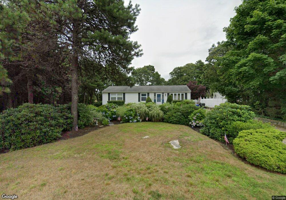
21 Wing Rd Pocasset, MA 02559
Pocasset NeighborhoodEstimated Value: $567,000 - $696,000
2
Beds
2
Baths
1,152
Sq Ft
$539/Sq Ft
Est. Value
About This Home
This home is located at 21 Wing Rd, Pocasset, MA 02559 and is currently estimated at $621,493, approximately $539 per square foot. 21 Wing Rd is a home located in Barnstable County with nearby schools including Bourne High School and Cadence Academy Preschool - Bourne.
Create a Home Valuation Report for This Property
The Home Valuation Report is an in-depth analysis detailing your home's value as well as a comparison with similar homes in the area
Home Values in the Area
Average Home Value in this Area
Tax History Compared to Growth
Tax History
| Year | Tax Paid | Tax Assessment Tax Assessment Total Assessment is a certain percentage of the fair market value that is determined by local assessors to be the total taxable value of land and additions on the property. | Land | Improvement |
|---|---|---|---|---|
| 2025 | $3,505 | $448,800 | $205,200 | $243,600 |
| 2024 | $3,451 | $430,300 | $195,400 | $234,900 |
| 2023 | $3,291 | $373,500 | $165,500 | $208,000 |
| 2022 | $3,480 | $344,900 | $179,700 | $165,200 |
| 2021 | $3,382 | $314,000 | $163,500 | $150,500 |
| 2020 | $3,279 | $305,300 | $162,000 | $143,300 |
| 2019 | $3,125 | $297,300 | $162,000 | $135,300 |
| 2018 | $2,915 | $276,600 | $154,300 | $122,300 |
| 2017 | $2,719 | $264,000 | $141,500 | $122,500 |
| 2016 | $2,624 | $258,300 | $141,500 | $116,800 |
| 2015 | $2,829 | $280,900 | $164,100 | $116,800 |
Source: Public Records
Map
Nearby Homes
- 171 Bellavista Dr
- 254 Barlows Landing Rd
- 940 County Rd
- 34 Kenwood Rd
- 709 County Rd
- 45 Kenwood Rd
- 70 Wings Neck Rd
- 22 Nairn Rd
- 174 Barlows Landing Rd
- 14 Navajo Rd
- 7 4th Ave
- 15 1st St
- 24 Richmond Rd
- 940 County Rd
- 39 Bennets Neck Dr
- 48 Red Brook Harbor Rd
- 3 Red Brook Pond Dr
- 1094 County Rd
- 7 Portside Dr