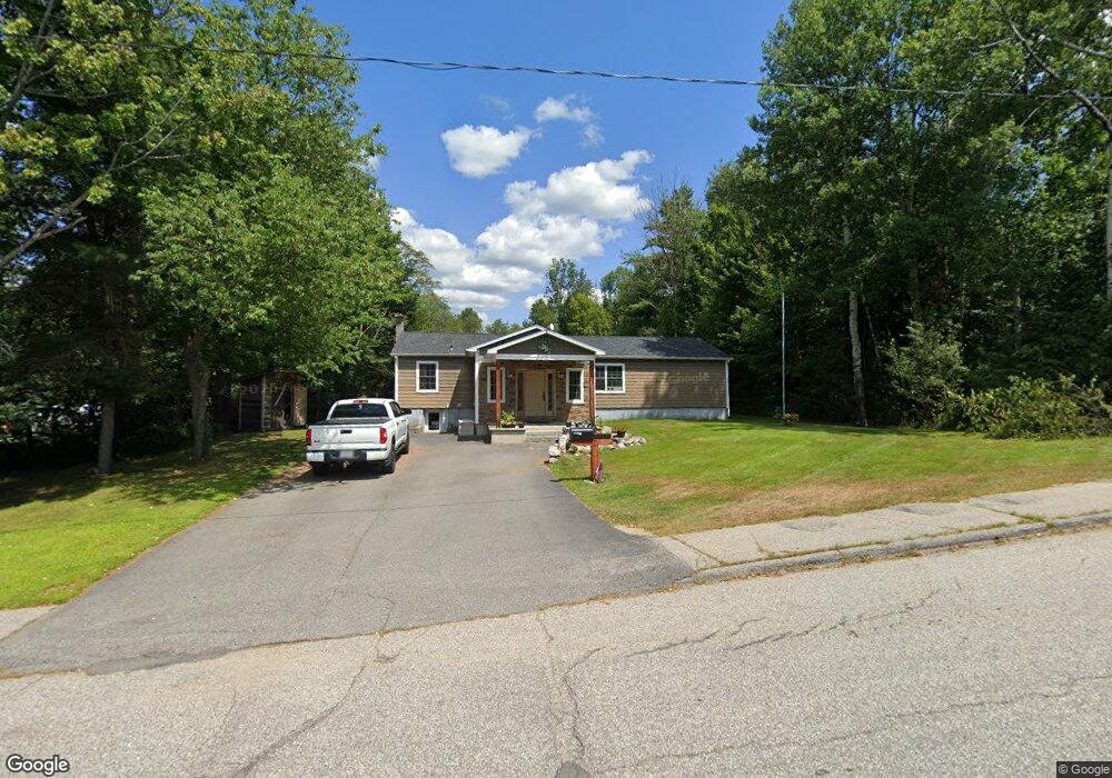
21 Wood St Berlin, NH 03570
Estimated Value: $264,000 - $391,210
3
Beds
2
Baths
1,772
Sq Ft
$180/Sq Ft
Est. Value
About This Home
This home is located at 21 Wood St, Berlin, NH 03570 and is currently estimated at $318,303, approximately $179 per square foot. 21 Wood St is a home located in Coos County with nearby schools including Berlin Elementary School, Brown Elementary School, and Berlin Middle School.
Ownership History
Date
Name
Owned For
Owner Type
Purchase Details
Closed on
Jun 29, 2006
Sold by
Croteau Jennifer L
Bought by
Croteau Jennifer L and Gagne Derrick L
Current Estimated Value
Home Financials for this Owner
Home Financials are based on the most recent Mortgage that was taken out on this home.
Original Mortgage
$107,000
Outstanding Balance
$51,451
Interest Rate
6.58%
Mortgage Type
Purchase Money Mortgage
Estimated Equity
$266,852
Purchase Details
Closed on
May 9, 2005
Sold by
Burns Timothy J and Burns Tina M
Bought by
Household Finance Corp
Create a Home Valuation Report for This Property
The Home Valuation Report is an in-depth analysis detailing your home's value as well as a comparison with similar homes in the area
Home Values in the Area
Average Home Value in this Area
Purchase History
| Date | Buyer | Sale Price | Title Company |
|---|---|---|---|
| Croteau Jennifer L | $112,500 | -- | |
| Household Finance Corp | $94,400 | -- |
Source: Public Records
Mortgage History
| Date | Status | Borrower | Loan Amount |
|---|---|---|---|
| Open | Household Finance Corp | $107,000 |
Source: Public Records
Tax History Compared to Growth
Tax History
| Year | Tax Paid | Tax Assessment Tax Assessment Total Assessment is a certain percentage of the fair market value that is determined by local assessors to be the total taxable value of land and additions on the property. | Land | Improvement |
|---|---|---|---|---|
| 2024 | $8,328 | $269,600 | $41,500 | $228,100 |
| 2023 | $7,252 | $269,600 | $41,500 | $228,100 |
| 2022 | $7,349 | $269,600 | $41,500 | $228,100 |
| 2021 | $6,281 | $171,900 | $39,600 | $132,300 |
| 2020 | $6,176 | $171,900 | $39,600 | $132,300 |
| 2018 | $5,592 | $142,400 | $25,200 | $117,200 |
| 2017 | $5,146 | $131,300 | $13,900 | $117,400 |
| 2016 | $5,146 | $131,300 | $13,900 | $117,400 |
| 2014 | $3,862 | $115,800 | $15,700 | $100,100 |
| 2013 | $3,937 | $119,300 | $15,700 | $103,600 |
Source: Public Records
Map
Nearby Homes
- Map 135 Franklin St
- 14 Marne Ave
- 21 Rheims St
- 56 Pershing Ave
- 243 Sweden St
- 1253 Main St
- 6 Pinecrest Ave
- 39 Bret St
- 37 Pine Island Ave
- 189 Finland St
- 32 Hermanson St
- 2006 Hutchins St
- Lots Hutchins St Unit M133/L105, M128/L262
- 101 Maple St
- 17 Hemlock Ln
- 704 Hillside Ave
- 1895 Riverside Dr
- 1378 Napert St
- 18 Peavey Ln
- 58 Hemlock Ln
- 25 Wood St
- 25 Wood St
- 25 1/2 Wood St
- 87 Maynesboro St
- 87 Maynesboro St Unit 136-000060.000000
- 24 1/2 Wood St
- 24 Wood St
- 24 Wood St
- 90 Maynesboro St
- 94 Maynesboro St
- 1878 Hutchins St
- 88 Maynesboro St
- 1874 Hutchins St
- 1870 Hutchins St
- 84 Maynesboro St
- 83 Maynesboro St
- 1856 Hutchins St
- 81 Wood St
- 21 Bemis St
- 1900 Hutchins St