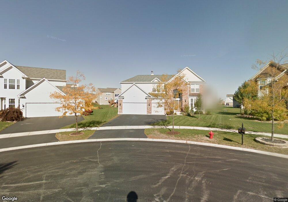
210 Bennett Ct N Oswego, IL 60543
North Oswego NeighborhoodEstimated Value: $531,000 - $598,000
4
Beds
3
Baths
3,400
Sq Ft
$165/Sq Ft
Est. Value
About This Home
This home is located at 210 Bennett Ct N, Oswego, IL 60543 and is currently estimated at $561,378, approximately $165 per square foot. 210 Bennett Ct N is a home located in Kendall County with nearby schools including Southbury Elementary School, Murphy Junior High School, and Oswego East High School.
Ownership History
Date
Name
Owned For
Owner Type
Purchase Details
Closed on
Sep 1, 2010
Sold by
Citibank N A
Bought by
Muldoon John and Muldoon Kellie A
Current Estimated Value
Home Financials for this Owner
Home Financials are based on the most recent Mortgage that was taken out on this home.
Original Mortgage
$199,200
Interest Rate
4.19%
Mortgage Type
New Conventional
Purchase Details
Closed on
Apr 5, 2010
Sold by
Rogers William D
Bought by
Citibank Na
Purchase Details
Closed on
Nov 30, 2006
Sold by
Pulte Home Corp
Bought by
Rogers William D and Rogers Annette
Home Financials for this Owner
Home Financials are based on the most recent Mortgage that was taken out on this home.
Original Mortgage
$434,449
Interest Rate
6.62%
Mortgage Type
Purchase Money Mortgage
Create a Home Valuation Report for This Property
The Home Valuation Report is an in-depth analysis detailing your home's value as well as a comparison with similar homes in the area
Home Values in the Area
Average Home Value in this Area
Purchase History
| Date | Buyer | Sale Price | Title Company |
|---|---|---|---|
| Muldoon John | $249,000 | Fidelity National Title | |
| Citibank Na | -- | None Available | |
| Rogers William D | $457,500 | Pulte Midwest Title South |
Source: Public Records
Mortgage History
| Date | Status | Borrower | Loan Amount |
|---|---|---|---|
| Open | Muldoon John | $24,875 | |
| Previous Owner | Muldoon John | $199,200 | |
| Previous Owner | Rogers William D | $434,449 |
Source: Public Records
Tax History
| Year | Tax Paid | Tax Assessment Tax Assessment Total Assessment is a certain percentage of the fair market value that is determined by local assessors to be the total taxable value of land and additions on the property. | Land | Improvement |
|---|---|---|---|---|
| 2024 | $12,721 | $164,082 | $27,124 | $136,958 |
| 2023 | $11,274 | $143,932 | $23,793 | $120,139 |
| 2022 | $11,274 | $130,847 | $21,630 | $109,217 |
| 2021 | $11,211 | $125,814 | $20,798 | $105,016 |
| 2020 | $10,864 | $120,975 | $19,998 | $100,977 |
| 2019 | $11,036 | $120,975 | $19,998 | $100,977 |
| 2018 | $12,134 | $126,812 | $28,511 | $98,301 |
| 2017 | $12,193 | $124,938 | $28,090 | $96,848 |
| 2016 | $11,992 | $121,299 | $27,272 | $94,027 |
| 2015 | $11,712 | $113,364 | $25,488 | $87,876 |
| 2014 | -- | $109,004 | $24,508 | $84,496 |
| 2013 | -- | $110,105 | $24,756 | $85,349 |
Source: Public Records
Map
Nearby Homes
- 314 Parker Place
- 608 Hawley Dr Unit 4342
- 240 Devoe Dr
- 605 Murdock Place
- 241 Cooney Way
- 601 Murdock Place
- 234 Cooney Way
- 602 Murdock Place
- 339 Danforth Dr
- 464 Valentine Way
- 460 Valentine Way
- 700 N Sparkle Ct
- 1823 Indian Hill Ln Unit 4102
- 1851 Indian Hill Ln Unit 4083
- 420 Raintree Dr
- 115 Henderson St
- 1893 Indian Hill Ln Unit 4053
- 375 Danforth Dr
- 628 Lincoln Station Dr Unit 303
- 377 Danforth Dr
- 211 Bennett Ct N
- 122 Chapin Way
- 208 Bennett Ct N
- 126 Chapin Way
- 120 Chapin Way
- 140 Chapin Way
- 136 Chapin Way
- 213 Bennett Ct N
- 142 Chapin Way
- 118 Chapin Way
- 206 Bennett Ct N
- 204 Bennett Ct N
- 144 Chapin Way
- 215 Bennett Ct N
- 116 Chapin Way
- 202 Bennett Ct N
- 123 Chapin Way
- 407 Devoe Dr
- 127 Chapin Way
- 125 Chapin Way
Your Personal Tour Guide
Ask me questions while you tour the home.